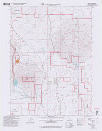
2001 Map of Bray
USGS Topo · Published 2004About this map
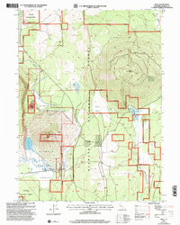
Bray and Kegg sit at the center of this high-elevation landscape within the Klamath National Forest. The terrain is defined by prominent volcanic features like Orr Mountain and Cedar Mountain, which rise sharply above Round Valley and the seasonal drainages of Antelope Creek. To the west, Orr Lake provides a rare permanent water source in an area otherwise marked by the intermittent flow of Antelope Sink and Horsethief Butte Creek.
Find a feature on this map
18 named features on this map. Tap any name to fly to it.
Don’t see what you’re looking for? This feature index may not catch every label — zoom into the map to look around manually.
Map Details
Editions of this 2001 Bray Map
2 editions found
Other maps of this area

1886 · Modoc Lava Bed
USGS Topo · 1:250,000

1886 · Shasta
USGS Topo · 1:250,000

1892 · Modoc Lava-Bed
USGS Topo · 1:250,000

1894 · Shasta
USGS Topo · 1:250,000

1934 · Macdoel
USGS Topo · 1:96,000

1941 · Macdoel
USGS Topo · 1:125,000

1948 · Weed
USGS Topo · 1:250,000

1950 · Weed
USGS Topo · 1:250,000

1950 · Bray
USGS Topo · 1:62,500

1950 · Dorris
USGS Topo · 1:62,500