
1941 Map of Macdoel
USGS Topo · Published 1941About this map
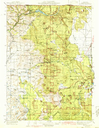
Butte Valley and the surrounding volcanic terrain define this 1941 edition, featuring a landscape shaped by both early hydro-power development and timber extraction. The northern edge is dominated by the Klamath River and the then-recent impoundment of Copco Lake, supported by a Powerhouse and State Fish Hatchery. This rugged section of Shasta National Forest is punctuated by fire lookouts at Heard Peak Lookout and Eagle Rock Lookout, overlooking a network of remote family-named homesteads such as Meiss Ranch and Hessig Ranch.
Find a feature on this map
112 named features on this map. Tap any name to fly to it.
Don’t see what you’re looking for? This feature index may not catch every label — zoom into the map to look around manually.
Map Details
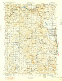
Editions of this 1941 Macdoel Map
3 editions found
Other maps of this area

1886 · Modoc Lava Bed
USGS Topo · 1:250,000

1886 · Shasta
USGS Topo · 1:250,000

1889 · Klamath
USGS Topo · 1:250,000

1891 · Ashland
USGS Topo · 1:250,000

1892 · Modoc Lava-Bed
USGS Topo · 1:250,000

1893 · Ashland
USGS Topo · 1:250,000

1894 · Klamath
USGS Topo · 1:250,000

1894 · Shasta
USGS Topo · 1:250,000

1897 · Ashland
USGS Topo · 1:250,000

1921 · Shasta Valley Sheet No 7
USGS Topo · 1:24,000