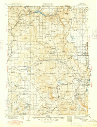
1941 Map of Macdoel
USGS Topo · Published 1949About this map
Klamath River and the newly established Copco Lake define the northern reaches of this Siskiyou County landscape during the interwar years. The map documents a transition from pioneer ranching to early industrial infrastructure, evidenced by the State Fish Hatchery and multiple Powerhouses near the Oregon border. Education was decentralized across the rugged terrain, with small rural facilities like Low Wood Sch, Bogus Sch, and Hovey Gulch Sch serving isolated families.
Find a feature on this map
129 named features on this map. Tap any name to fly to it.
Don’t see what you’re looking for? This feature index may not catch every label — zoom into the map to look around manually.
Map Details
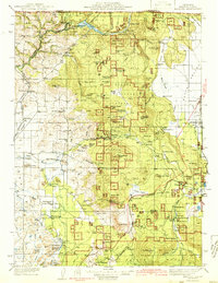
Editions of this 1941 Macdoel Map
3 editions found

Other maps of this area

1886 · Modoc Lava Bed
USGS Topo · 1:250,000

1886 · Shasta
USGS Topo · 1:250,000

1889 · Klamath
USGS Topo · 1:250,000

1891 · Ashland
USGS Topo · 1:250,000

1892 · Modoc Lava-Bed
USGS Topo · 1:250,000

1893 · Ashland
USGS Topo · 1:250,000

1894 · Klamath
USGS Topo · 1:250,000

1894 · Shasta
USGS Topo · 1:250,000

1897 · Ashland
USGS Topo · 1:250,000

1921 · Shasta Valley Sheet No 7
USGS Topo · 1:24,000