Old Maps of Paskenta, California for Metal Detecting
Plan your next treasure hunt with 10 historic maps of Paskenta. Find old homesites, ghost towns, trails, and gathering spots that may be lost to time — perfect for identifying promising metal detecting locations.
- Locate forgotten sites: Uncover places like long-lost settlements, abandoned rail lines, or gathering spots.
- Plan better hunts: Use map overlays combined with LiDAR or satellite views to narrow in on historically rich areas.
- Made for detectorists: Thousands of hobbyists use these maps to discover relics, coins, and hidden history.
Use these historic maps to boost your research and find new opportunities beneath the surface of Paskenta.
Paskenta, CA maps
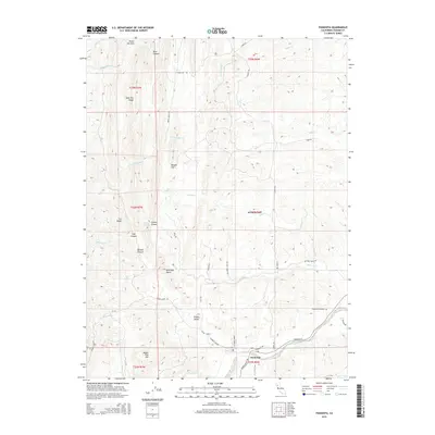
(10)- 1952 Map of Paskenta, 1953 Print
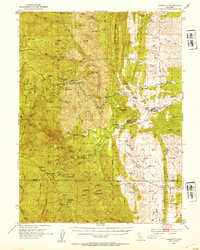 1952 Paskenta1953 Print · USGSThe foothills of Tehama and Glenn counties come to life in this mid-century survey of the Mendocino National Forest borderlands. Genealogists and local historians can trace family holdings like the Scribner Ranch and Cushman Ranch, or find the old Lowrey Sch.3 unique versions available
 - 1957 Map of Ukiah, 1966 Print
 1957 Ukiah1966 Print · USGSNorthern California's diverse terrain comes into focus in the mid-1950s, from the rugged timberlands of the Jackson State Forest to the productive Sacramento Valley. Genealogists and historians can trace the rail lines of the Northwestern Pacific or locate early valley settlements like Arbuckle and Paskenta.3 unique versions available
 - 1960 Map of Ukiah
 1960 Ukiah1960 Print · USGSNorthern California during the late fifties reveals a landscape of deep timber forests and valley agriculture before modern expansion. Trace the historic rail lines of the California Western RR and the Northwestern Pacific RR through settlements like Fort Bragg and Ukiah.2 unique versions available
 - 1967 Map of Paskenta, 1969 Print
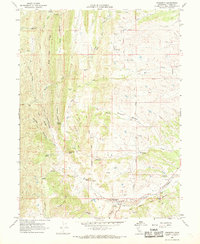 1967 Paskenta1969 Print · USGSTehama County's rugged eastern foothills are captured here in the late sixties, centered on the settlement of Paskenta and its surrounding ranch lands. Researchers can trace the path of the Old Indian Treaty Boundary or locate family sites like Rouse Gardens and Paskenta Cemetery.2 unique versions available
 - 1987 Map of Willows, 1988 Print
 1987 Willows1988 Print · USGSThe northern Sacramento Valley meets the Coast Range in the late eighties, showing a landscape defined by water and transit. Researchers can trace the Southern Pacific railroad past Artois and Corning, or locate family-named landmarks like Larkins Childrens Rancho and Snaden Island.2 unique versions available
 - 1995 Map of Paskenta, 2001 Print
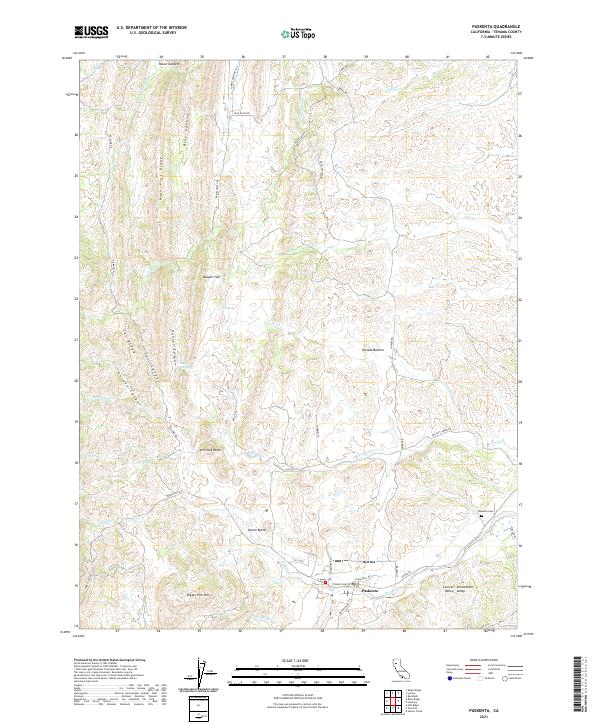
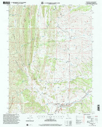 1995 Paskenta2001 Print · USGSThe foothills of western Tehama County are shown here in the mid-1990s as a landscape of timber work and creek-side settlement. Genealogists and researchers can trace local landmarks like the Lowrey Sch, Paskenta Cemetery, and the Crane Sawmill burner.
 - 2012 Map of Paskenta, 2012 Print
 2012 Paskenta2012 Print · USGSCovers Paskenta, including Rancho Tehama Reserve, Tehama County, and other nearby areas
 - 2015 Map of Paskenta, 2015 Print
 2015 Paskenta2015 Print · USGSCovers Paskenta, including Rancho Tehama Reserve, Tehama County, and other nearby areas
 - 2018 Map of Paskenta, 2018 Print
 2018 Paskenta2018 Print · USGSCovers Paskenta, including Rancho Tehama Reserve, Tehama County, and other nearby areas
 - 2021 Map of Paskenta, 2021 Print
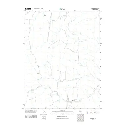
 2021 Paskenta2021 Print · USGSThe eastern foothills of the Coast Ranges meet the floor of the Sacramento Valley in this recent survey of western Tehama County. Researchers can locate the Paskenta Cem, trace the remote reaches of Maupin Flat, and follow old routes like Lowery Rd.
End of results
Showing maps 1-10 of 10
Top cities near Paskenta
Frequently asked questions
- What are the different types of historical maps available for Paskenta?
- What is the oldest map of Paskenta?
- Where can I purchase historical maps of Paskenta for my home or office?
- Where can I download high-res historical maps of Paskenta?
- Are there historical topographic maps available for Paskenta?
- Is there historical aerial imagery available for Paskenta?
- Where are historical maps of Paskenta sourced from?