Old Maps of Shamrock, Colorado for Genealogy
Trace your family roots with 10 historic maps of Shamrock. These high-res maps reveal old neighborhoods, homesites, landmarks, and streets — helping you uncover where your ancestors lived and how the area evolved over time.
- Explore historic neighborhoods: Identify where your relatives may have lived in the 1800s or 1900s.
- Compare maps over time: Trace the changes in streets, buildings, and landmarks for multi-generational research.
- Perfect for genealogy & ancestry research: Used by family historians and researchers to map out lineage and migration.
These maps are an incredible resource for exploring your personal connection to Shamrock's past.
Shamrock, CO maps
(10)- 1954 Map of Limon
 1954 Limon1954 Print · USGSThe Eastern Colorado plains and the Kansas borderlands come alive in the mid-fifties, showing the vital rail-and-road corridor through Limon. Genealogists and historians can trace the Chicago Rock Island & Pacific line through Burlington and find remote outposts like Arickaree and Anton.4 unique versions available
 - 1957 Map of Limon
 1957 Limon1957 Print · USGSThe High Plains of Eastern Colorado and Western Kansas come alive in the mid-1950s, showing the vital rail-and-road connections of the era. You can trace the path of the Chicago Rock Island and Pacific through towns like Limon, Stratton, and Burlington or find the early footprint of Bonny Reservoir.
 - 1958 Map of Limon
 1958 Limon1958 Print · USGSEastern Colorado and the Kansas border meet in this late-fifties study of High Plains rail and river systems. Researchers can trace the path of the Chicago Rock Island and Pacific through Limon and Burlington, or locate the Bonny Dam and Bonny Reservoir.
 - 1973 Map of Shamrock, 1976 Print
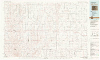
 1973 Shamrock1976 Print · USGSAdams County ranching country meets the mid-century energy boom in this early 1970s study of the eastern plains. Genealogists and historians can locate the Shamrock settlement and trace local water and energy infrastructure through Simpsons Reservoir, the regional Pipeline, and various Oil Wells.
 - 1983 Map of Last Chance
 1983 Last Chance1983 Print · USGSThe high plains of Washington and Arapahoe counties in the early eighties were a network of isolated crossroads and essential watercourses. Genealogists and local historians can trace the foundations of rural life near Last Chance, Woodrow, and the valley of Arickaree Creek.
 - 2010 Map of Shamrock, 2010 Print
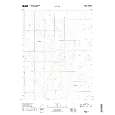
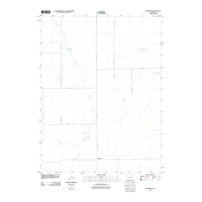 2010 Shamrock2010 Print · USGSCovers Shamrock, including Adams County, United States, and other nearby areas
 - 2013 Map of Shamrock, 2013 Print
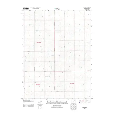 2013 Shamrock2013 Print · USGSCovers Shamrock, including Adams County, United States, and other nearby areas
 - 2016 Map of Shamrock, 2016 Print
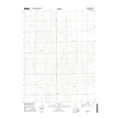 2016 Shamrock2016 Print · USGSCovers Shamrock, including Adams County, United States, and other nearby areas
 - 2019 Map of Shamrock, 2019 Print
 2019 Shamrock2019 Print · USGSCovers Shamrock, including Adams County, United States, and other nearby areas
 - 2022 Map of Shamrock, 2022 Print
 2022 Shamrock2022 Print · USGSAdams County ranching and water management are mapped in detail during the early 2020s. Genealogists and local historians can trace the network of rural section roads like Shamrock Mile Rd and hydrological features such as Simpsons Reservoir and Sand Arroyo Creek.
End of results
Showing maps 1-10 of 10
Top cities near Shamrock
Frequently asked questions
- What are the different types of historical maps available for Shamrock?
- What is the oldest map of Shamrock?
- Where can I purchase historical maps of Shamrock for my home or office?
- Where can I download high-res historical maps of Shamrock?
- Are there historical topographic maps available for Shamrock?
- Is there historical aerial imagery available for Shamrock?
- Where are historical maps of Shamrock sourced from?