Old Maps of Overlook District, Broomfield
Explore 24 old maps of Overlook District, spanning from 1899 to today. These high-resolution historic maps reveal how streets, neighborhoods, landmarks, and natural features evolved over time — perfect for genealogy, metal detecting, research, and local history exploration.
What you can do with these maps:
- See how Overlook District changed over time: Compare historical maps to modern-day views to trace roads, homesites, rail lines & more.
- View detailed metadata: Each map includes creators, publishers, year, scale, and archive source.
- Overlay maps with satellite & LiDAR: Visualize the past alongside modern tools to explore terrain & human change.
- Trusted historical sources: Maps sourced from the USGS, Library of Congress, and other archives.
- Access maps your way: View online, download high-res files, or order prints for personal or research use.
Start exploring old maps of Overlook District to uncover forgotten places, hidden landmarks, and the deep history beneath your feet.
Overlook District, Broomfield maps
(24)- 1899 Map of West Denver
 1899 West Denver1899 Print · USGSThe Denver metropolitan area and its western foothills appear in the late Victorian era as a burgeoning rail and irrigation hub. Researchers can trace the early footprints of Denver, Golden, and Littleton, alongside industrial sites like the Louisville Coal Mine and the grounds of Fort Logan.
 - 1940 Map of Lafayette
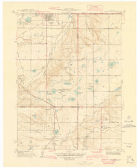 1940 Lafayette1940 Print · USGSLafayette and the northern Colorado coalfields are captured in the late 1930s as mining and rail transport shaped the local economy. Genealogists can trace family roots through named landmarks like Mandalay Sch, Lakeview Cem, and the Centennial Mine.
 - 1942 Map of Louisville
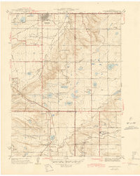
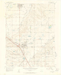
 1942 Louisville1942 Print · USGSLouisville and the high plains of Boulder County are captured here just before the mid-century expansion. Genealogists and historians can trace the early footprints of Superior, Marshall, and Louisville, or locate rural landmarks like the Sacred Heart Ch and Shamrock Sch.3 unique versions available
 - 1944 Map of Lafayette
 1944 Lafayette1944 Print · USGSThe northern Front Range in the years following the Great Depression was a landscape of coal mines and intricate irrigation reservoirs. You can trace the early footprints of Lafayette and Broomfield while locating industrial landmarks like the Centennial Mine and Burn Lee Sch.
 - 1950 Map of Louisville, 1955 Print
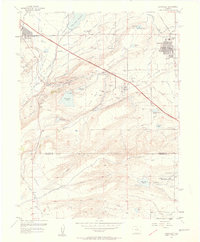
 1950 Louisville1955 Print · USGSThe Boulder Valley coal fields and irrigation networks are on full display in the mid-twentieth century. Researchers can trace dozens of mining sites like the Eldorado Mine, find the Superior Cemetery, and locate rural schools including Marshall Sch.
 - 1953 Map of Denver, 1964 Print
 1953 Denver1964 Print · USGSDenver and the Colorado Front Range are captured here during a decade of post-war growth and military expansion. Researchers can trace the sprawling rail lines of the Union Pacific, locate the State Capitol, and explore historic mountain mining hubs like Central City.6 unique versions available
 - 1956 Map of Lafayette, 1958 Print
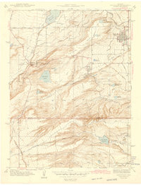
 1956 Lafayette1958 Print · USGSBoulder County experiences a post-war transition in the mid-fifties as the new turnpike and traditional mining industries coexist. Researchers can trace early suburban expansion in Broomfield Heights while locating the Centennial Mine and local landmarks like Ruston Heights Airport.
 - 1957 Map of Denver
 1957 Denver1957 Print · USGSDenver and the Colorado Front Range are seen here during a mid-century period of intense military and urban expansion. Trace the footprints of the Rocky Mountain Arsenal, the early United States Air Force Academy, and the Lowry AF Base.
 - 1957 Map of Louisville, 1958 Print
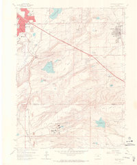
 1957 Louisville1958 Print · USGSThe northern Colorado coalfields and rural landscapes are captured here during a period of industrial transition. Researchers can trace numerous historic coal operations like the Cracker Jack Mine and Industrial Mine, alongside the early Denver Boulder Turnpike.2 unique versions available
 - 1958 Map of Denver
 1958 Denver1958 Print · USGSDenver and the Colorado Front Range are captured here during the mid-century suburban boom. Trace the footprints of military installations like Buckley Air Force Base alongside the established rail networks of the Colorado & Southern Ry.
 - 1960 Map of Denver
 1960 Denver1960 Print · USGSDenver and the Colorado Front Range are seen here at a pivotal moment of postwar expansion into the plains and foothills. Researchers can trace the mid-century rail network of the Denver & Rio Grande Western RR and locate historic institutional landmarks like Buckley Field and the Colorado School of Mines.
 - 1965 Map of Louisville, 1967 Print
 1965 Louisville1967 Print · USGSIn the mid-1960s, the plains south of Boulder balanced emerging suburban sprawl with secretive federal industry. Researchers can trace the massive Rocky Flats Plant, local landmarks like Marshall Lake, and the path of the Denver Boulder Turnpike.7 unique versions available
 - 1965 Map of Lafayette, 1967 Print
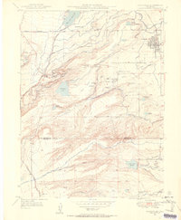
 1965 Lafayette1967 Print · USGSLafayette and Broomfield are captured here in the mid-1960s as suburban growth began to reshape the old mining and agricultural landscape. Genealogists and local historians can trace early schools like Kohl Sch, the Louisville Cem, and old settlements such as Morgan and Wallace Village.5 unique versions available
 - 1983 Map of Denver West
 1983 Denver West1983 Print · USGSThe Front Range and Denver's western suburbs meet in the early 1980s, documenting the era's growth from the mountain peaks to the valley floor. Genealogists and historians can trace the foundations of Lakewood and Golden, or locate high-altitude landmarks like the Moffat Tunnel and Mount Olivet Cem.2 unique versions available
 - 2010 Map of Lafayette, 2010 Print
 2010 Lafayette2010 Print · USGSCovers Overlook District, including Thornton, Westminster, and other nearby areas
 - 2011 Map of Louisville, 2011 Print
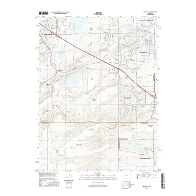
 2011 Louisville2011 Print · USGSCovers Overlook District, including Westminster, Boulder, and other nearby areas
 - 2013 Map of Louisville, 2013 Print
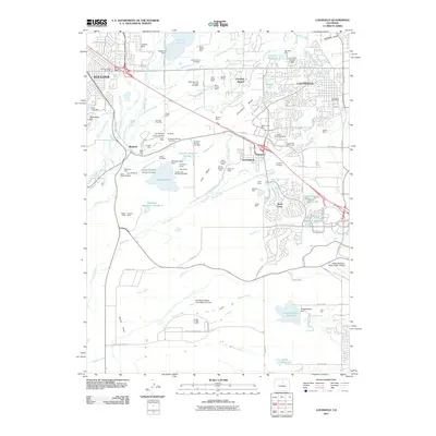
 2013 Louisville2013 Print · USGSCovers Overlook District, including Westminster, Boulder, and other nearby areas
 - 2013 Map of Lafayette, 2013 Print
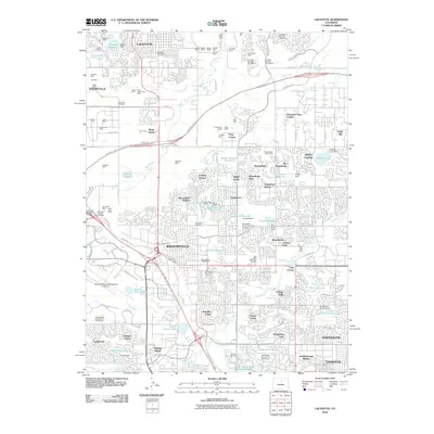
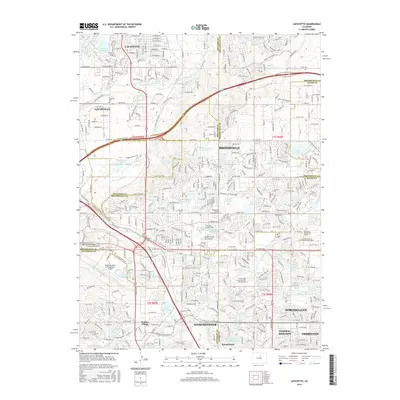
 2013 Lafayette2013 Print · USGSCovers Overlook District, including Thornton, Westminster, and other nearby areas
 - 2016 Map of Lafayette, 2016 Print
 2016 Lafayette2016 Print · USGSCovers Overlook District, including Thornton, Westminster, and other nearby areas
 - 2016 Map of Louisville, 2016 Print
 2016 Louisville2016 Print · USGSCovers Overlook District, including Westminster, Boulder, and other nearby areas
 - 2019 Map of Lafayette, 2019 Print
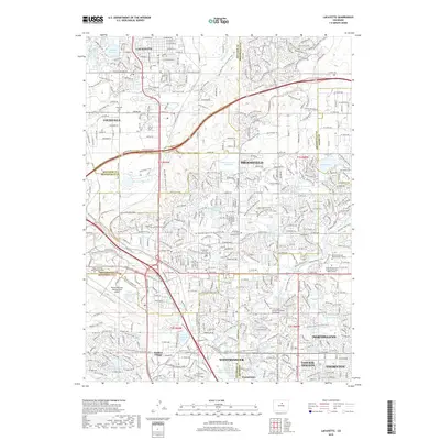 2019 Lafayette2019 Print · USGSCovers Overlook District, including Thornton, Westminster, and other nearby areas
 - 2019 Map of Louisville, 2019 Print
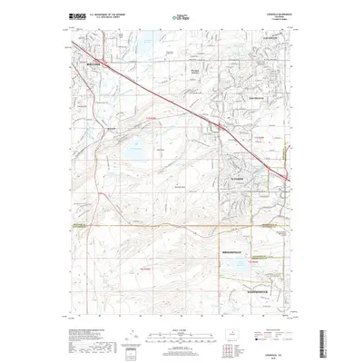 2019 Louisville2019 Print · USGSCovers Overlook District, including Westminster, Boulder, and other nearby areas
 - 2022 Map of Louisville, 2022 Print
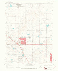
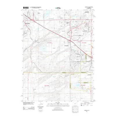
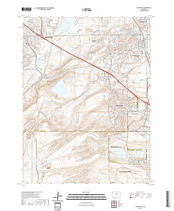 2022 Louisville2022 Print · USGSThe suburbs of Boulder and Louisville meet the industrial Front Range at the start of the 2020s. Researchers can trace the extensive canal networks like the Goodhue Ditch and find local landmarks such as Marshall and the Sacred Heart of Mary Cem.
 - 2022 Map of Lafayette, 2022 Print
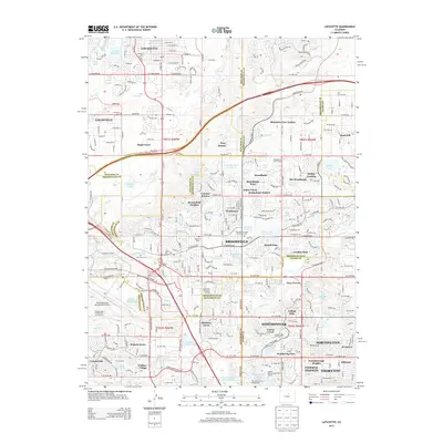
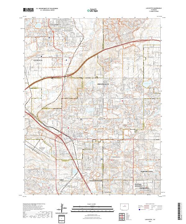 2022 Lafayette2022 Print · USGSModern suburban development meets early water management in the 2020s north of Denver. Researchers can trace the layout of Wallace Village and find local landmarks like Louisville Cem and the Broomfield County Courthouse.
End of results
Showing maps 1-24 of 24
Frequently asked questions
- What are the different types of historical maps available for Overlook District?
- What is the oldest map of Overlook District?
- Where can I purchase historical maps of Overlook District for my home or office?
- Where can I download high-res historical maps of Overlook District?
- Are there historical topographic maps available for Overlook District?
- Is there historical aerial imagery available for Overlook District?
- Where are historical maps of Overlook District sourced from?