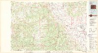
Old Maps of Delta, Colorado
Explore 31 old maps of Delta, spanning from 1956 to today. These high-resolution historic maps reveal how streets, neighborhoods, landmarks, and natural features evolved over time — perfect for genealogy, metal detecting, research, and local history exploration.
What you can do with these maps:
- See how Delta changed over time: Compare historical maps to modern-day views to trace roads, homesites, rail lines & more.
- View detailed metadata: Each map includes creators, publishers, year, scale, and archive source.
- Overlay maps with satellite & LiDAR: Visualize the past alongside modern tools to explore terrain & human change.
- Trusted historical sources: Maps sourced from the USGS, Library of Congress, and other archives.
- Access maps your way: View online, download high-res files, or order prints for personal or research use.
Start exploring old maps of Delta to uncover forgotten places, hidden landmarks, and the deep history beneath your feet.
Delta, CO maps
(31)- 1956 Map of Moab, 1972 Print
 1956 Moab1972 Print · USGSThe Colorado Plateau and La Sal Mountains appear here in the mid-fifties, just as the uranium boom and energy exploration were reshaping the Four Corners. Researchers can trace the Denver and Rio Grande Western through Cisco or locate the remote outpost of Uravan and Looking Glass Rock.3 unique versions available
 - 1959 Map of Moab
 1959 Moab1959 Print · USGSSoutheast Utah and Western Colorado are mapped here in the late fifties, just as the uranium boom was transforming the remote canyon lands. Genealogists and historians can trace the foundations of Moab and Nucla, or locate mining sites and landmarks like Uravan and Dead Horse Point.
 - 1960 Map of Moab
 1960 Moab1960 Print · USGSThe canyonlands and high plateaus of the Utah-Colorado border are shown here during the mid-century uranium boom. Researchers can trace the river-and-rail corridors of the Colorado River and the Denver and Rio Grande Western near Moab and Uravan.3 unique versions available
 - 1962 Map of Moab
 1962 Moab1962 Print · USGSThe canyon country of southeastern Utah and western Colorado is captured here in the early sixties, showing the reach of the Denver and Rio Grande Western through the desert. Researchers can trace the layout of mining settlements like Uravan and old railroad stops at Cisco and Sagers Station.
 - 1962 Map of North Delta, 1966 Print
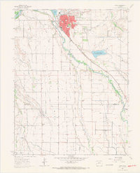
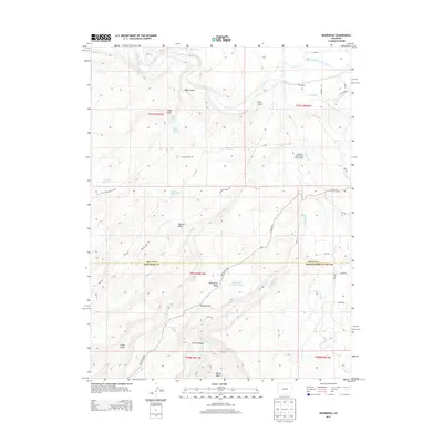
 1962 North Delta1966 Print · USGSThe Gunnison River valley in the early sixties was a landscape of intensive irrigation and railroad transport. Researchers can trace family history through sites like Memory Gardens Cemetery, the settlement of North Delta, and the prominent Adobe Buttes.3 unique versions available
 - 1962 Map of Delta, 1966 Print
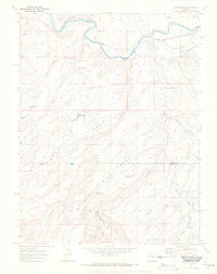
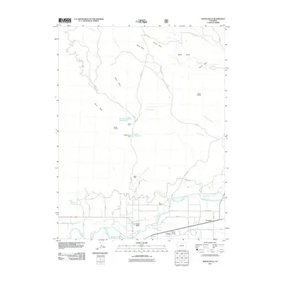
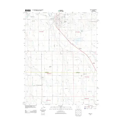
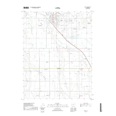
 1962 Delta1966 Print · USGSWestern Slope agriculture and river-junction life are captured here in the early sixties as irrigation transformed the high mesas. Researchers can trace the sprawling canal systems and find local landmarks like Pea Green Cem, Columbine Sch, and the Garnet Mesa Reservoir.3 unique versions available
 - 1964 Map of Moab
 1964 Moab1964 Print · USGSThe canyonlands of eastern Utah and western Colorado are captured here in the mid-1960s, a time when uranium mining shaped the local economy. Researchers can trace the river-and-rail network through Sinbad Valley and locate mining outposts like Uravan and Vancorum.
 - 1965 Map of Moab
 1965 Moab1965 Print · USGSSoutheast Utah and Western Colorado are mapped here in the mid-sixties, showcasing a landscape of high plateaus and deep river canyons. Genealogists and historians can trace the mining-era towns of Uravan and Paradox or locate remote landmarks like Castleton and Dead Horse Point.
 - 1965 Map of Point Creek, 1968 Print
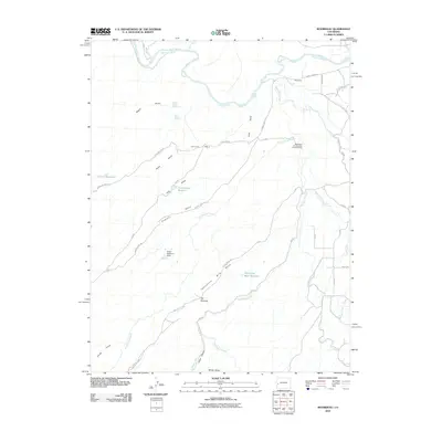
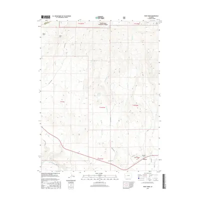
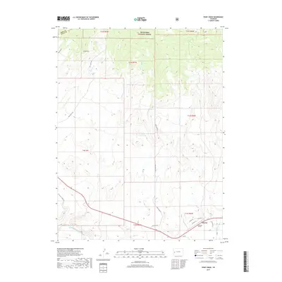
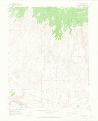 1965 Point Creek1968 Print · USGSDelta County ranching and river life are captured here in the mid-sixties, where the desert meets the high timber. Trace the path of the Denver and Rio Grande Western rail line along the Gunnison River or locate the Star Nelson Ranch.3 unique versions available
 - 1969 Map of Roubideau, 1972 Print
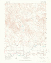
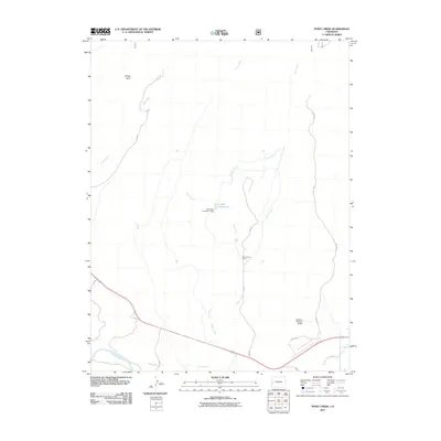
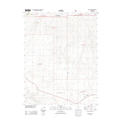
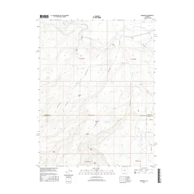
 1969 Roubideau1972 Print · USGSThe Gunnison River valley and the high mesas of Western Colorado are captured here in the late sixties. Explore the rail-and-water network of the era, from the Denver and Rio Grande Western tracks to the Winter Mesa Canal.4 unique versions available
 - 1980 Map of Delta
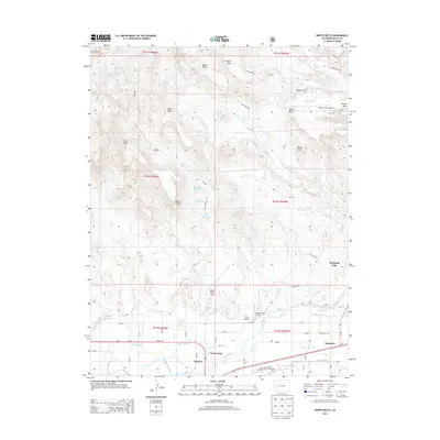
 1980 Delta1980 Print · USGSWestern Colorado during the 1980s reveals a rugged landscape of high mesas and deep canyons where the mining and ranching economy thrived. Genealogists and researchers can trace local landmarks like Peis Green Corner or locate mining operations including the Peach Mines and Yellowbird Mines.3 unique versions available
 - 2010 Map of Roubideau, 2010 Print
 2010 Roubideau2010 Print · USGSCovers Delta, including Montrose County, Delta County, and other nearby areas
 - 2010 Map of Delta, 2010 Print
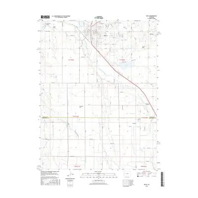
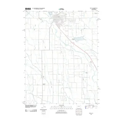 2010 Delta2010 Print · USGSCovers Delta, including Chipeta, Pea Green Corner, and other nearby areas
 - 2011 Map of Point Creek, 2011 Print
 2011 Point Creek2011 Print · USGSCovers Delta, including Mesa County, Delta County, and other nearby areas
 - 2011 Map of North Delta, 2011 Print
 2011 North Delta2011 Print · USGSCovers Delta, including Saunders, North Delta, and other nearby areas
 - 2013 Map of North Delta, 2013 Print
 2013 North Delta2013 Print · USGSCovers Delta, including Saunders, North Delta, and other nearby areas
 - 2013 Map of Point Creek, 2013 Print
 2013 Point Creek2013 Print · USGSCovers Delta, including Mesa County, Delta County, and other nearby areas
 - 2013 Map of Roubideau, 2013 Print
 2013 Roubideau2013 Print · USGSCovers Delta, including Montrose County, Delta County, and other nearby areas
 - 2013 Map of Delta, 2013 Print
 2013 Delta2013 Print · USGSCovers Delta, including Chipeta, Pea Green Corner, and other nearby areas
 - 2016 Map of Point Creek, 2016 Print
 2016 Point Creek2016 Print · USGSCovers Delta, including Mesa County, Delta County, and other nearby areas
 - 2016 Map of Roubideau, 2016 Print
 2016 Roubideau2016 Print · USGSCovers Delta, including Montrose County, Delta County, and other nearby areas
 - 2016 Map of North Delta, 2016 Print
 2016 North Delta2016 Print · USGSCovers Delta, including Saunders, North Delta, and other nearby areas
 - 2016 Map of Delta, 2016 Print
 2016 Delta2016 Print · USGSCovers Delta, including Chipeta, Pea Green Corner, and other nearby areas
 - 2019 Map of Point Creek, 2019 Print
 2019 Point Creek2019 Print · USGSCovers Delta, including Mesa County, Delta County, and other nearby areas
 - 2019 Map of Delta, 2019 Print
 2019 Delta2019 Print · USGSCovers Delta, including Chipeta, Pea Green Corner, and other nearby areas
Showing maps 1-25 of 31
Top cities near Delta
Top neighborhoods of Delta
Frequently asked questions
- What are the different types of historical maps available for Delta?
- What is the oldest map of Delta?
- Where can I purchase historical maps of Delta for my home or office?
- Where can I download high-res historical maps of Delta?
- Are there historical topographic maps available for Delta?
- Is there historical aerial imagery available for Delta?
- Where are historical maps of Delta sourced from?