Old Maps of Florence, Colorado
Explore 27 old maps of Florence, spanning from 1889 to today. These high-resolution historic maps reveal how streets, neighborhoods, landmarks, and natural features evolved over time — perfect for genealogy, metal detecting, research, and local history exploration.
What you can do with these maps:
- See how Florence changed over time: Compare historical maps to modern-day views to trace roads, homesites, rail lines & more.
- View detailed metadata: Each map includes creators, publishers, year, scale, and archive source.
- Overlay maps with satellite & LiDAR: Visualize the past alongside modern tools to explore terrain & human change.
- Trusted historical sources: Maps sourced from the USGS, Library of Congress, and other archives.
- Access maps your way: View online, download high-res files, or order prints for personal or research use.
Start exploring old maps of Florence to uncover forgotten places, hidden landmarks, and the deep history beneath your feet.
Florence, CO maps
(27)- 1889 Map of Canon City
 1889 Canon City1889 Print · USGSFremont and Custer counties appear here during the peak of the Colorado silver boom, when mining and rail expansion transformed the valley. Genealogists can trace family roots in early settlements like Silver Cliff, Rosita, and the coal camps of Rockvale.2 unique versions available
 - 1892 Map of Canon City
 1892 Canon City1892 Print · USGSThe mining camps of Custer and Fremont counties were in their prime during the 1890s silver and coal boom. Genealogists and historians can trace the early rail networks and locate hard-rock operations like the Bassick Mine or settlements such as Silver Cliff and Querida.8 unique versions available
 - 1954 Map of Pueblo, 1966 Print
 1954 Pueblo1966 Print · USGSMid-century Colorado comes alive in this survey of the Front Range and the high plains as the region expanded after the war. Genealogists and historians can trace family roots through rural landmarks like Hanover Church, Pioneer Cemetery, and the Grandview School.3 unique versions available
 - 1957 Map of Pueblo
 1957 Pueblo1957 Print · USGSMid-century Colorado comes alive as the Front Range urban centers expand alongside massive Cold War military installations. Genealogists and historians can trace the foundations of Stone City, rural sites like Hanover School, and the industrial Canon Imperial Mine.
 - 1958 Map of Pueblo
 1958 Pueblo1958 Print · USGSColorado's Front Range and Arkansas River Valley come alive in the late fifties, showing the transition from historic mining districts to major military and rail hubs. Genealogists and historians can trace family roots in ranching communities and find landmarks like Cripple Creek, Manitou, and the Hanover School.
 - 1959 Map of Florence, 1961 Print
 1959 Florence1961 Print · USGSFremont County settlements and the Arkansas River valley are captured here as the mid-century industrial and transport networks matured. Researchers can locate family roots at the Penrose Cem, trace the route of the Denver and Rio Grande Western Railroad, or find the Beaver Creek Sch.5 unique versions available
 - 1959 Map of Canon City, 1961 Print
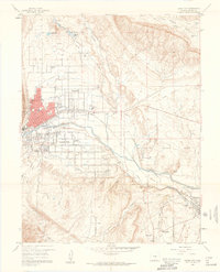 1959 Canon City1961 Print · USGSThe Arkansas River valley in the late fifties was a busy intersection of irrigation, industry, and institutional land. Researchers can trace family history through sites like Lakeside Cemetery or locate landmarks like the State Prison Farm and Abbey.5 unique versions available
 - 1959 Map of Florence SE, 1961 Print
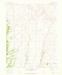 1959 Florence SE1961 Print · USGSSouthern Fremont County in the late fifties shows a rural landscape at the crossroads of three counties. Genealogists and local historians can trace family locations near Union Highland Cem, New Hope Ch, and the Mountain View Community Hall.6 unique versions available
 - 1962 Map of Pueblo
 1962 Pueblo1962 Print · USGSThe Front Range and high plains meet in the early sixties as military installations and industrial mining shape the corridor from Colorado Springs to Pueblo. Genealogists can trace family names through rural landmarks like the Columbine School, Hanover Church, and Fairview Cem.
 - 1966 Map of Pueblo
 1966 Pueblo1966 Print · USGSThe Front Range and Arkansas River Valley are captured here in the mid-1960s, showing a landscape shaped by mining, military expansion, and rail. Researchers can locate numerous country schools and mines, such as the Lytle School, Pioneer Cem, and Empire Zinc Mine.
 - 1982 Map of Canon City, 1983 Print
 1982 Canon City1983 Print · USGSCentral Colorado in the early eighties shows a landscape shaped by high peaks and river-valley industry. Genealogists can locate family sites near Silver Cliff, Union Highland Cem, or the State Prison Farm.
 - 1989 Map of Pueblo
 1989 Pueblo1989 Print · USGSIn the late eighties, the Colorado Front Range balanced its deep mining history with massive military expansion and water development. Researchers can trace the rail lines of the AT & SF RR or locate remote high-altitude settlements like Rosita and Querida.
 - 2010 Map of Florence SE, 2010 Print
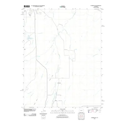 2010 Florence SE2010 Print · USGSThe Fremont County foothills come into focus in the early twenty-first century, showing a landscape defined by ranching and old mining sites. Researchers can trace local history through the Union Highland Cemetery, Sikes, and the Canon Imperial Mine.
 - 2010 Map of Florence, 2010 Print
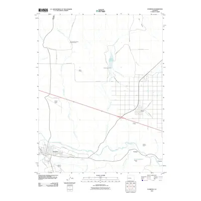 2010 Florence2010 Print · USGSFremont County settlement and industry are on full display in this 2010 survey of the Arkansas River corridor. Researchers can trace the layout of Florence and Penrose, locating landmarks like the Portland Limestone Quarry and San Juan Bautista Cemetery.
 - 2010 Map of Canon City, 2010 Print
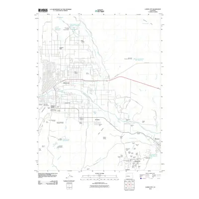 2010 Canon City2010 Print · USGSThe Arkansas River valley reveals its mining and agricultural heritage in 2010. Trace family roots at Greenwood Cemetery or explore the coal legacy at the Williamsburg Mine and Emerald Mine.
 - 2013 Map of Florence, 2013 Print
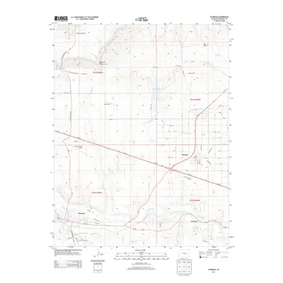 2013 Florence2013 Print · USGSThe Fremont County foothills near the Arkansas River are captured here in the early twenty-first century. Researchers can trace irrigation networks like the Beaver Park Ditch or locate local landmarks such as Portland Reservoir and the San Juan Bautisa Cemetery.
 - 2013 Map of Canon City, 2013 Print
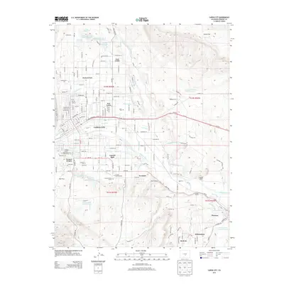 2013 Canon City2013 Print · USGSIn the early twenty-first century, the Arkansas River valley around Cañon City remained a complex network of historic settlements and vital water infrastructure. Genealogists and historians can trace local family sites across Greenwood Cem, Lincoln Park, and the mining-era roots of Rockvale and Williamsburg.
 - 2013 Map of Florence SE, 2013 Print
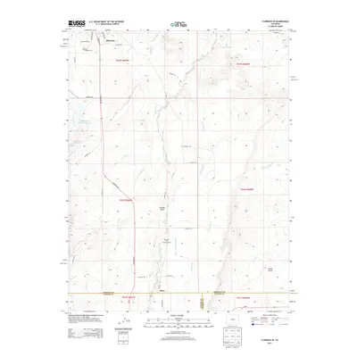 2013 Florence SE2013 Print · USGSThe foothills of Fremont County are captured here in the early twenty-first century, centered on the southeastern reaches of Florence. Genealogists and local historians can locate the Union Highland Cem and landmarks like the Mountain View Community Hall.
 - 2016 Map of Canon City, 2016 Print
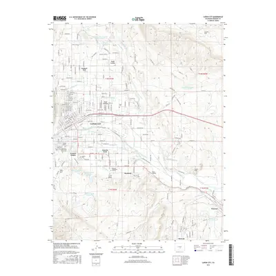 2016 Canon City2016 Print · USGSThe Arkansas River valley comes alive in this study of the communities surrounding Cañon City and Florence. Genealogists and historians can trace the irrigation networks of the Minnequa Canal and locate specific sites like the Independent Order of Odd Fellows Cemetery.
 - 2016 Map of Florence SE, 2016 Print
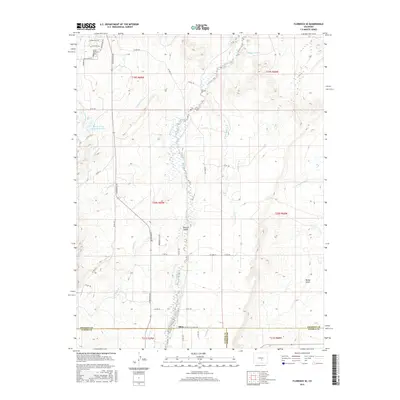 2016 Florence SE2016 Print · USGSThis high-country survey captures the intersection of three Colorado counties during a period of modern rural development. Genealogists can locate Union Highland Cem and the settlement of Sikes, or trace water rights along the Minnequa Canal and Hardscrabble Cr.
 - 2016 Map of Florence, 2016 Print
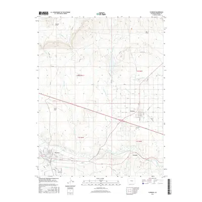 2016 Florence2016 Print · USGSFlorence and Penrose are shown in detail during the mid-2010s, alongside the winding Arkansas River and its industrial corridors. Researchers can trace irrigation networks like the Minnequa Canal and locate local landmarks such as Penrose Cem.
 - 2019 Map of Florence SE, 2019 Print
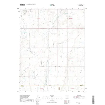 2019 Florence SE2019 Print · USGSSoutheast of Florence in the late 2010s, this landscape shows the intersection of high-desert ranching and historic water management. Researchers can trace the legacy of local irrigation through the Minnequa Canal and locate family sites near the Union Highland Cem or the settlement of Sikes.
 - 2019 Map of Canon City, 2019 Print
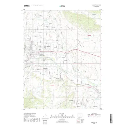 2019 Canon City2019 Print · USGSCañon City and the Arkansas River valley are shown here in the late 2010s, highlighting a complex landscape of mining heritage and riverfront development. Researchers can trace local history through numerous sites like Abbey Cemetery, Wolf Park, and the Arkansas Riverwalk Trail.
 - 2019 Map of Florence, 2019 Print
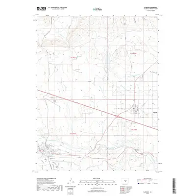 2019 Florence2019 Print · USGSFremont County's river valley and northern canyons come to life in this 2019 study of the high plains. Researchers can trace irrigation networks like Union Ditch and Minnequa Canal or locate family sites at San Juan Bautista Cem and Penrose Cem.
 - 2022 Map of Florence SE, 2022 Print
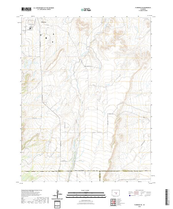 2022 Florence SE2022 Print · USGSFlorence and the high plains of Fremont County are captured in this 2022 survey, showcasing the area's vital water infrastructure. Trace the routes of the Minnequa Canal, locate the Union Highland Cem, or follow the course of Hardscrabble Cr through the southern gulches.
Showing maps 1-25 of 27
Top cities near Florence
- Cañon City historical maps
- Lincoln Park historical maps
- Penrose historical maps
- Williamsburg historical maps
- Rockvale historical maps
- Coal Creek historical maps
See more
Frequently asked questions
- What are the different types of historical maps available for Florence?
- What is the oldest map of Florence?
- Where can I purchase historical maps of Florence for my home or office?
- Where can I download high-res historical maps of Florence?
- Are there historical topographic maps available for Florence?
- Is there historical aerial imagery available for Florence?
- Where are historical maps of Florence sourced from?