2000s (21st Century) Maps of Winter Park, Colorado
Explore 20 historic maps of Winter Park from the 2000s (21st Century). These maps offer a rare glimpse into what life looked like during the 2000s — showing old roads, neighborhoods, homes, and landmarks that have changed or disappeared over time.
Whether you're researching your family's past, planning a metal detecting trip, or studying how Winter Park's landscape evolved across the 2000s, these high-resolution maps are a powerful tool for exploring the history of this region.
- Focus on a specific era: All maps on this page are from the 2000s, giving you a focused view of this time period.
- See what’s changed: Compare century-old streets, trails, and buildings to today's modern landscape using overlays and satellite layers.
- Research with precision: Use these maps for genealogy, historical research, land use analysis, or educational projects.
- View, download, or print: Maps are fully viewable online in high resolution, and can be downloaded or printed for your own records.
Start exploring Winter Park's history through authentic maps from the 2000s. This is your window into the past.
Winter Park, CO maps
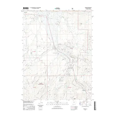
(20)- 2011 Map of Empire, 2011 Print
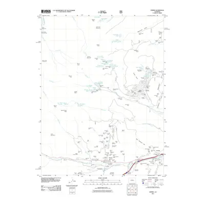 2011 Empire2011 Print · USGSCovers Winter Park, including Empire, Saint Marys, and other nearby areas
 - 2011 Map of Berthoud Pass, 2011 Print
 2011 Berthoud Pass2011 Print · USGSCovers Winter Park, including Berthoud Falls, Grand County, and other nearby areas
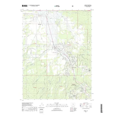
 - 2011 Map of Fraser, 2011 Print
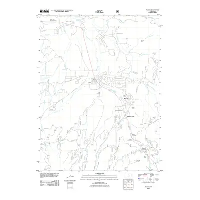 2011 Fraser2011 Print · USGSCovers Winter Park, including Fraser, Tabernash, and other nearby areas
 - 2011 Map of East Portal, 2011 Print
 2011 East Portal2011 Print · USGSCovers Winter Park, including Buckingham Campground, Diamond Lake Campground, and other nearby areas
 - 2013 Map of East Portal, 2013 Print
 2013 East Portal2013 Print · USGSCovers Winter Park, including Buckingham Campground, Diamond Lake Campground, and other nearby areas
 - 2013 Map of Empire, 2013 Print
 2013 Empire2013 Print · USGSCovers Winter Park, including Empire, Saint Marys, and other nearby areas
 - 2013 Map of Berthoud Pass, 2013 Print
 2013 Berthoud Pass2013 Print · USGSCovers Winter Park, including Berthoud Falls, Grand County, and other nearby areas
 - 2013 Map of Fraser, 2013 Print
 2013 Fraser2013 Print · USGSCovers Winter Park, including Fraser, Tabernash, and other nearby areas
 - 2016 Map of East Portal, 2016 Print
 2016 East Portal2016 Print · USGSCovers Winter Park, including Buckingham Campground, Diamond Lake Campground, and other nearby areas
 - 2016 Map of Berthoud Pass, 2016 Print
 2016 Berthoud Pass2016 Print · USGSCovers Winter Park, including Berthoud Falls, Grand County, and other nearby areas
 - 2016 Map of Fraser, 2016 Print
 2016 Fraser2016 Print · USGSCovers Winter Park, including Fraser, Tabernash, and other nearby areas
 - 2016 Map of Empire, 2016 Print
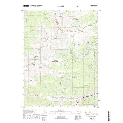
 2016 Empire2016 Print · USGSCovers Winter Park, including Empire, Saint Marys, and other nearby areas
 - 2019 Map of Berthoud Pass, 2019 Print
 2019 Berthoud Pass2019 Print · USGSCovers Winter Park, including Berthoud Falls, Grand County, and other nearby areas
 - 2019 Map of Empire, 2019 Print
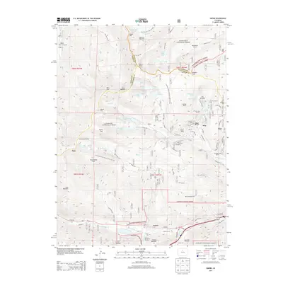
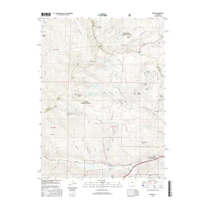
 2019 Empire2019 Print · USGSCovers Winter Park, including Empire, Saint Marys, and other nearby areas
 - 2019 Map of East Portal, 2019 Print
 2019 East Portal2019 Print · USGSCovers Winter Park, including Buckingham Campground, Diamond Lake Campground, and other nearby areas
 - 2019 Map of Fraser, 2019 Print
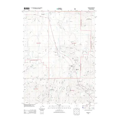
 2019 Fraser2019 Print · USGSCovers Winter Park, including Fraser, Tabernash, and other nearby areas
 - 2022 Map of Berthoud Pass, 2022 Print
 2022 Berthoud Pass2022 Print · USGSHigh in the Colorado Rockies during the early 2020s, this area showcases a landscape defined by winter sports and vital water infrastructure. Trace the Continental Divide National Scenic Trl past landmarks like Berthoud Pass and the August P Gumlick Tunnel.
 - 2022 Map of Fraser, 2022 Print
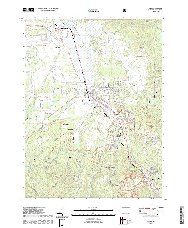 2022 Fraser2022 Print · USGSThe Fraser River valley in the early 2020s shows a landscape of mountain towns and water infrastructure. Researchers can trace historical sites like Cozens Ranch Cem, Fraser Cem, and the old ditches of the Arapaho National Forest.
 - 2022 Map of East Portal, 2022 Print
 2022 East Portal2022 Print · USGSThe Continental Divide crossing at Rollins Pass is captured here in the early twenty-first century. Rail historians and hikers can trace the original route of the Moffat Road and the Moffat Tunnel near East Portal and Riflesight Notch.
 - 2022 Map of Empire, 2022 Print
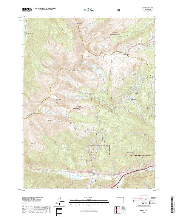 2022 Empire2022 Print · USGSThe high Front Range and the Continental Divide meet near Empire and Winter Park in this recent topographical study. Genealogists and hikers can trace the paths around Alice, find the Empire Cem, or follow the Continental Divide National Scenic Trl past James Peak.
End of results
Showing maps 1-20 of 20
Top cities near Winter Park
- Idaho Springs historical maps
- Granby historical maps
- Georgetown historical maps
- Fraser historical maps
- Tabernash historical maps
- Empire historical maps
See more
Frequently asked questions
- What are the different types of historical maps available for Winter Park?
- What is the oldest map of Winter Park?
- Where can I purchase historical maps of Winter Park for my home or office?
- Where can I download high-res historical maps of Winter Park?
- Are there historical topographic maps available for Winter Park?
- Is there historical aerial imagery available for Winter Park?
- Where are historical maps of Winter Park sourced from?