Old Maps of Vona, Colorado for Genealogy
Trace your family roots with 10 historic maps of Vona. These high-res maps reveal old neighborhoods, homesites, landmarks, and streets — helping you uncover where your ancestors lived and how the area evolved over time.
- Explore historic neighborhoods: Identify where your relatives may have lived in the 1800s or 1900s.
- Compare maps over time: Trace the changes in streets, buildings, and landmarks for multi-generational research.
- Perfect for genealogy & ancestry research: Used by family historians and researchers to map out lineage and migration.
These maps are an incredible resource for exploring your personal connection to Vona's past.
Vona, CO maps
(10)- 1954 Map of Limon
 1954 Limon1954 Print · USGSThe Eastern Colorado plains and the Kansas borderlands come alive in the mid-fifties, showing the vital rail-and-road corridor through Limon. Genealogists and historians can trace the Chicago Rock Island & Pacific line through Burlington and find remote outposts like Arickaree and Anton.4 unique versions available
 - 1957 Map of Limon
 1957 Limon1957 Print · USGSThe High Plains of Eastern Colorado and Western Kansas come alive in the mid-1950s, showing the vital rail-and-road connections of the era. You can trace the path of the Chicago Rock Island and Pacific through towns like Limon, Stratton, and Burlington or find the early footprint of Bonny Reservoir.
 - 1958 Map of Limon
 1958 Limon1958 Print · USGSEastern Colorado and the Kansas border meet in this late-fifties study of High Plains rail and river systems. Researchers can trace the path of the Chicago Rock Island and Pacific through Limon and Burlington, or locate the Bonny Dam and Bonny Reservoir.
 - 1979 Map of Vona
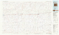
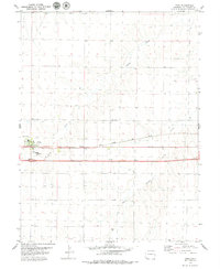 1979 Vona1979 Print · USGSVona and its surrounding plains are documented here during the late seventies, showing the area as the interstate and rail lines converged. Researchers can trace the layout of Vona and its Chicago Rock Island and Pacific rail corridor.
 - 1981 Map of Burlington
 1981 Burlington1981 Print · USGSEastern Colorado and the Kansas borderland come into focus during the early 1980s, centered on the rail corridor and farming hubs. Researchers can trace the Chicago Rock Island and Pacific route through Burlington, Stratton, and Vona, or locate Mount Sunflower near the state line.
 - 2010 Map of Vona, 2010 Print
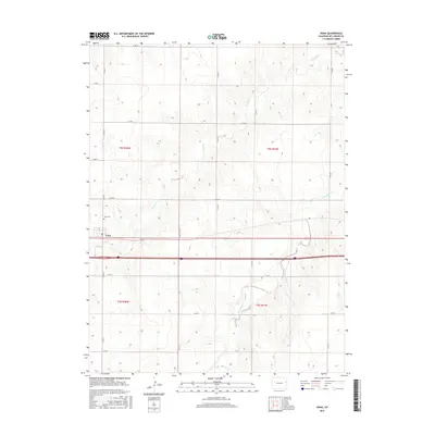
 2010 Vona2010 Print · USGSCovers Vona, including Kit Carson County, United States, and other nearby areas
 - 2013 Map of Vona, 2013 Print
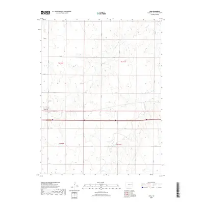
 2013 Vona2013 Print · USGSCovers Vona, including Kit Carson County, United States, and other nearby areas
 - 2016 Map of Vona, 2016 Print
 2016 Vona2016 Print · USGSCovers Vona, including Kit Carson County, United States, and other nearby areas
 - 2019 Map of Vona, 2019 Print
 2019 Vona2019 Print · USGSCovers Vona, including Kit Carson County, United States, and other nearby areas
 - 2022 Map of Vona, 2022 Print
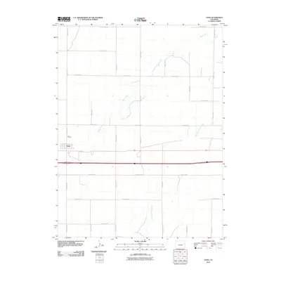
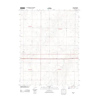
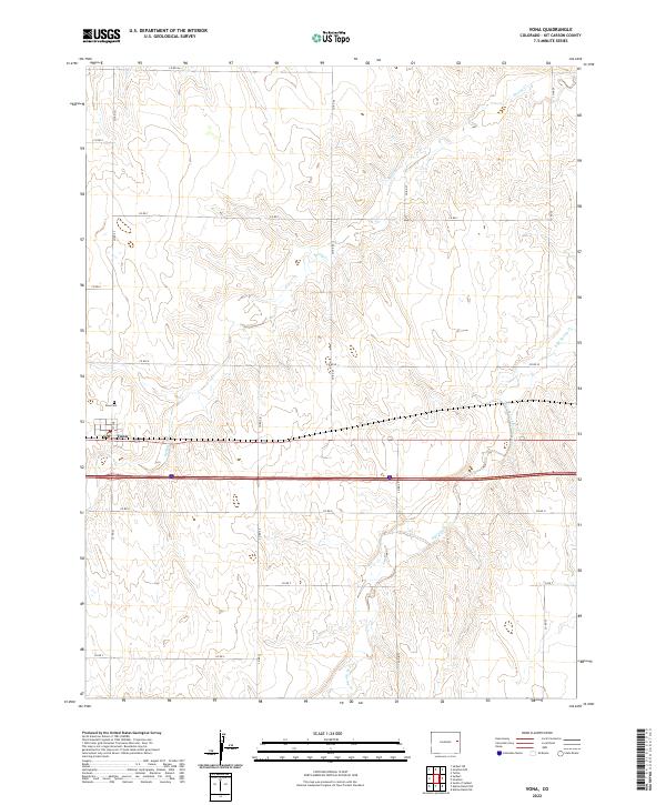 2022 Vona2022 Print · USGSThe High Plains of Kit Carson County are captured here in the early twenty-first century, centered on the settlement of Vona. Local historians can trace the town layout and nearby Vona Cem alongside the drainage of Spring Cr and its eastern branch.
End of results
Showing maps 1-10 of 10
Top cities near Vona
Frequently asked questions
- What are the different types of historical maps available for Vona?
- What is the oldest map of Vona?
- Where can I purchase historical maps of Vona for my home or office?
- Where can I download high-res historical maps of Vona?
- Are there historical topographic maps available for Vona?
- Is there historical aerial imagery available for Vona?
- Where are historical maps of Vona sourced from?