2000s (21st Century) Maps of Estes Park, Colorado
Explore 20 historic maps of Estes Park from the 2000s (21st Century). These maps offer a rare glimpse into what life looked like during the 2000s — showing old roads, neighborhoods, homes, and landmarks that have changed or disappeared over time.
Whether you're researching your family's past, planning a metal detecting trip, or studying how Estes Park's landscape evolved across the 2000s, these high-resolution maps are a powerful tool for exploring the history of this region.
- Focus on a specific era: All maps on this page are from the 2000s, giving you a focused view of this time period.
- See what’s changed: Compare century-old streets, trails, and buildings to today's modern landscape using overlays and satellite layers.
- Research with precision: Use these maps for genealogy, historical research, land use analysis, or educational projects.
- View, download, or print: Maps are fully viewable online in high resolution, and can be downloaded or printed for your own records.
Start exploring Estes Park's history through authentic maps from the 2000s. This is your window into the past.
Estes Park, CO maps
(20)- 2011 Map of Longs Peak, 2011 Print
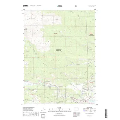
 2011 Longs Peak2011 Print · USGSCovers Estes Park, including Beaver Point, Larimer County, and other nearby areas
 - 2011 Map of Panorama Peak, 2011 Print
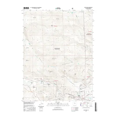
 2011 Panorama Peak2011 Print · USGSCovers Estes Park, including Big Elk Meadows, Larimer County, and other nearby areas
 - 2011 Map of Glen Haven, 2011 Print
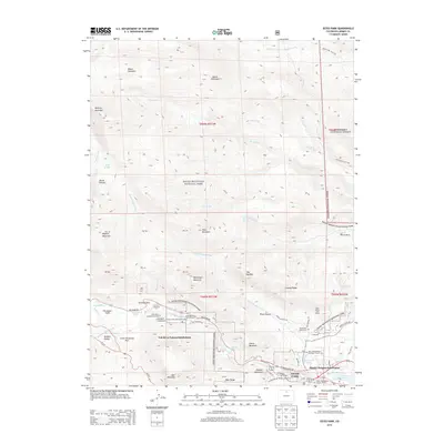
 2011 Glen Haven2011 Print · USGSCovers Estes Park, including Glen Comfort, Glen Haven, and other nearby areas
 - 2011 Map of Estes Park, 2011 Print
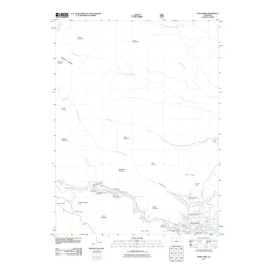 2011 Estes Park2011 Print · USGSCovers Estes Park, including Fall River Estates Subdivision, Stanley Heights Subdivision, and other nearby areas
 - 2013 Map of Estes Park, 2013 Print
 2013 Estes Park2013 Print · USGSCovers Estes Park, including Fall River Estates Subdivision, Stanley Heights Subdivision, and other nearby areas
 - 2013 Map of Glen Haven, 2013 Print
 2013 Glen Haven2013 Print · USGSCovers Estes Park, including Glen Comfort, Glen Haven, and other nearby areas
 - 2013 Map of Panorama Peak, 2013 Print
 2013 Panorama Peak2013 Print · USGSCovers Estes Park, including Big Elk Meadows, Larimer County, and other nearby areas
 - 2013 Map of Longs Peak, 2013 Print
 2013 Longs Peak2013 Print · USGSCovers Estes Park, including Beaver Point, Larimer County, and other nearby areas
 - 2016 Map of Estes Park, 2016 Print
 2016 Estes Park2016 Print · USGSCovers Estes Park, including Fall River Estates Subdivision, Stanley Heights Subdivision, and other nearby areas
 - 2016 Map of Glen Haven, 2016 Print
 2016 Glen Haven2016 Print · USGSCovers Estes Park, including Glen Comfort, Glen Haven, and other nearby areas
 - 2016 Map of Panorama Peak, 2016 Print
 2016 Panorama Peak2016 Print · USGSCovers Estes Park, including Big Elk Meadows, Larimer County, and other nearby areas
 - 2016 Map of Longs Peak, 2016 Print
 2016 Longs Peak2016 Print · USGSCovers Estes Park, including Beaver Point, Larimer County, and other nearby areas
 - 2019 Map of Longs Peak, 2019 Print
 2019 Longs Peak2019 Print · USGSCovers Estes Park, including Beaver Point, Larimer County, and other nearby areas
 - 2019 Map of Glen Haven, 2019 Print
 2019 Glen Haven2019 Print · USGSCovers Estes Park, including Glen Comfort, Glen Haven, and other nearby areas
 - 2019 Map of Estes Park, 2019 Print
 2019 Estes Park2019 Print · USGSCovers Estes Park, including Fall River Estates Subdivision, Stanley Heights Subdivision, and other nearby areas
 - 2019 Map of Panorama Peak, 2019 Print
 2019 Panorama Peak2019 Print · USGSCovers Estes Park, including Big Elk Meadows, Larimer County, and other nearby areas
 - 2022 Map of Estes Park, 2022 Print
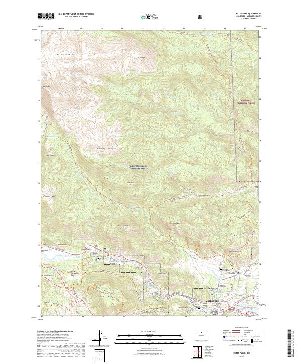 2022 Estes Park2022 Print · USGSThe village of Estes Park is shown in the modern era as it serves as the threshold to the peaks of the Mummy Range. Trace the routes of historical landmarks like the MacGregor Ranch Cem, Trail Ridge Road, and the waters of Lake Estes.
 - 2022 Map of Glen Haven, 2022 Print
 2022 Glen Haven2022 Print · USGSThe eastern canyons and mountain ridges of Larimer County are captured here in the early 2020s. Researchers can trace the development of Glen Haven, the quiet Charles D Miller Grave, and recreation trails across Crosier Mtn.
 - 2022 Map of Longs Peak, 2022 Print
 2022 Longs Peak2022 Print · USGSThe Front Range town of ESTES PARK serves as the starting point for this survey of the high peaks and moraines of Rocky Mountain National Park. Researchers can trace early family history at the Cleave - Griffith Cem or locate the historic Eugenia Mine Trl.
 - 2022 Map of Panorama Peak, 2022 Print
 2022 Panorama Peak2022 Print · USGSEstes Park and the neighboring mountain peaks were undergoing modern development in 2022 while preserving their frontier ranching roots. Researchers can trace historic sites like the Irvin Homestead Trl, Big Elk Meadows, and Pierson Park.
End of results
Showing maps 1-20 of 20
Top neighborhoods of Estes Park
Frequently asked questions
- What are the different types of historical maps available for Estes Park?
- What is the oldest map of Estes Park?
- Where can I purchase historical maps of Estes Park for my home or office?
- Where can I download high-res historical maps of Estes Park?
- Are there historical topographic maps available for Estes Park?
- Is there historical aerial imagery available for Estes Park?
- Where are historical maps of Estes Park sourced from?