Old Maps of Monte Vista, Colorado
Explore 21 old maps of Monte Vista, spanning from 1915 to today. These high-resolution historic maps reveal how streets, neighborhoods, landmarks, and natural features evolved over time — perfect for genealogy, metal detecting, research, and local history exploration.
What you can do with these maps:
- See how Monte Vista changed over time: Compare historical maps to modern-day views to trace roads, homesites, rail lines & more.
- View detailed metadata: Each map includes creators, publishers, year, scale, and archive source.
- Overlay maps with satellite & LiDAR: Visualize the past alongside modern tools to explore terrain & human change.
- Trusted historical sources: Maps sourced from the USGS, Library of Congress, and other archives.
- Access maps your way: View online, download high-res files, or order prints for personal or research use.
Start exploring old maps of Monte Vista to uncover forgotten places, hidden landmarks, and the deep history beneath your feet.
Monte Vista, CO maps
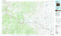
(21)- 1915 Map of Del Norte, 1957 Print
 1915 Del Norte1957 Print · USGSThe San Luis Valley was a thriving agricultural and rail hub during the early twentieth century. Researchers can trace the legacy of early settlements and rural schoolhouses like La Garita School, Swede Lane School, and the Denver and Rio Grande rail line.
 - 1917 Map of Del Norte
 1917 Del Norte1917 Print · USGSThe San Luis Valley thrives in the mid-1910s as irrigation transforms the high desert into a productive agricultural hub. Researchers can locate dozens of country schools like Eureka School and trace the Denver and Rio Grande rail corridor through Monte Vista.3 unique versions available
 - 1945 Map of Durango
 1945 Durango1945 Print · USGSSouthwest Colorado and Northern New Mexico at mid-century are defined by the high peaks of the San Juan Range and the tribal lands of the Southern Ute. Genealogists and historians can trace the paths of the D & R G W RR and locate local landmarks like Animas City and the Blanco Basin School.3 unique versions available
 - 1953 Map of Durango, 1963 Print
 1953 Durango1963 Print · USGSThe high peaks of the San Juan Mountains and the Colorado mining country are shown here as they appeared in the early fifties. Genealogists and local historians can trace the rail lines of the D & R G W RR and locate historic mining camps like Silverton, Ouray, and Old Ophir.
 - 1954 Map of Durango
 1954 Durango1954 Print · USGSSouthern Colorado in the mid-1950s was defined by high-altitude mining towns and the expansion of water storage in the San Luis Valley. Trace the narrow-gauge Denver & Rio Grande Western RR as it connects Durango to mountain outposts like Silverton and Creede.2 unique versions available
 - 1961 Map of Durango
 1961 Durango1961 Print · USGSThe high San Juan country in the early sixties is shown here as a network of historic mining towns and early reservoir projects. Genealogists and researchers can trace the Denver & Rio Grande Western RR as it connects Durango, Silverton, and Arboles.
 - 1963 Map of Durango
 1963 Durango1963 Print · USGSThe San Juan Mountains and San Luis Valley are captured here in the early 1950s as mining, rail, and tribal lands shaped the region. Researchers can trace the Denver & Rio Grande Western RR through high-country towns like Telluride and Silverton, or locate landmarks such as the Asiatic Mine.
 - 1964 Map of Monte Vista, 1968 Print
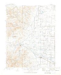
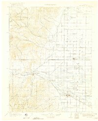
 1964 Monte Vista1968 Print · USGSThe San Luis Valley in the mid-sixties shows an intricate agricultural landscape shaped by the Rio Grande. Trace local heritage at the San Luis Valley Cem or follow the Denver and Rio Grande Western rails into Monte Vista.3 unique versions available
 - 1966 Map of Durango
 1966 Durango1966 Print · USGSSouthwestern Colorado and the New Mexico borderlands are shown here in the mid-1960s, a time when the narrow-gauge rail network still tied the high peaks to the valley floor. Researchers can trace the Denver & Rio Grande Western Railroad between settlements like Silverton, Antonito, and Pagosa Springs.2 unique versions available
 - 1966 Map of Homelake, 1968 Print
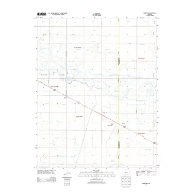
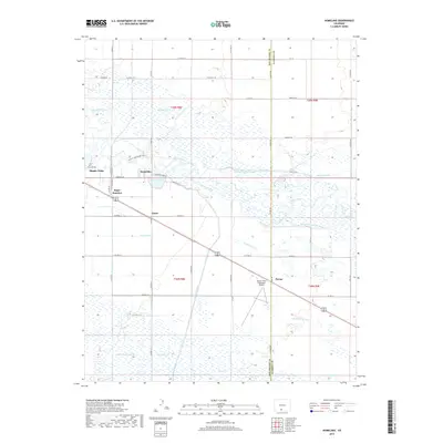
 1966 Homelake1968 Print · USGSThe Rio Grande basin in the mid-1960s shows a complex network of historic irrigation and rail infrastructure. Genealogists and historians can trace family-named sites and landmarks like the Homelake State Veterans Center, Sugar Junction, and the San Luis Valley Airport.
 - 1982 Map of Del Norte, 1983 Print
 1982 Del Norte1983 Print · USGSThe Rio Grande Valley and San Juan Mountains are seen here in the early eighties, transitioning from rugged alpine peaks to the irrigated San Luis Valley plains. Researchers can trace the Denver and Rio Grande Western rail line and locate old regional hubs like Creede, Monte Vista, and Wagon Wheel Gap.
 - 2010 Map of Homelake, 2010 Print
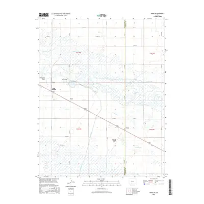
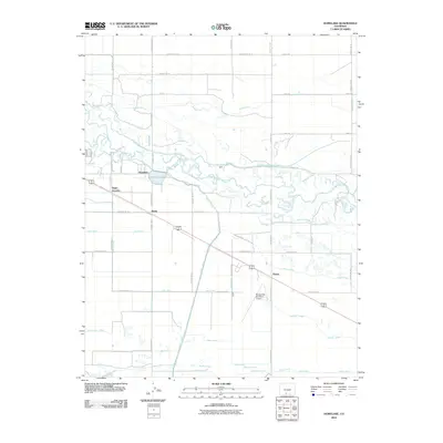 2010 Homelake2010 Print · USGSCovers Monte Vista, including Homelake, Zinzer, and other nearby areas
 - 2010 Map of Monte Vista, 2010 Print
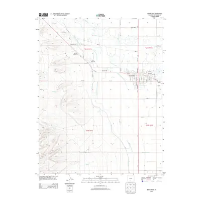
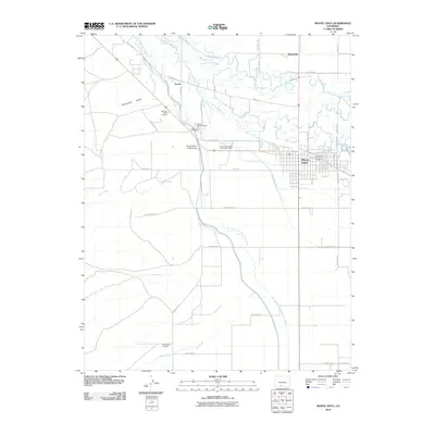 2010 Monte Vista2010 Print · USGSCovers Monte Vista, including Torres, Maxeyville, and other nearby areas
 - 2013 Map of Homelake, 2013 Print
 2013 Homelake2013 Print · USGSCovers Monte Vista, including Homelake, Zinzer, and other nearby areas
 - 2013 Map of Monte Vista, 2013 Print
 2013 Monte Vista2013 Print · USGSCovers Monte Vista, including Torres, Maxeyville, and other nearby areas
 - 2016 Map of Homelake, 2016 Print
 2016 Homelake2016 Print · USGSCovers Monte Vista, including Homelake, Zinzer, and other nearby areas
 - 2016 Map of Monte Vista, 2016 Print
 2016 Monte Vista2016 Print · USGSCovers Monte Vista, including Torres, Maxeyville, and other nearby areas
 - 2019 Map of Monte Vista, 2019 Print
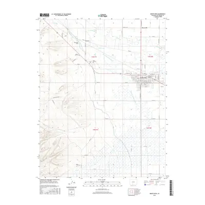
 2019 Monte Vista2019 Print · USGSCovers Monte Vista, including Torres, Maxeyville, and other nearby areas
 - 2019 Map of Homelake, 2019 Print
 2019 Homelake2019 Print · USGSCovers Monte Vista, including Homelake, Zinzer, and other nearby areas
 - 2022 Map of Homelake, 2022 Print
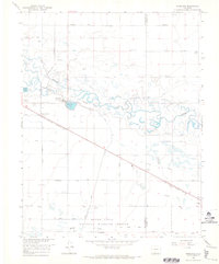
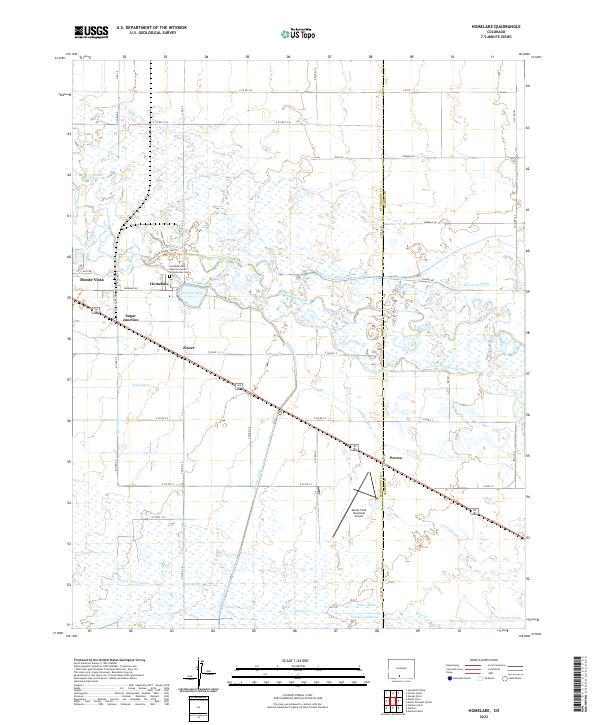 2022 Homelake2022 Print · USGSThe San Luis Valley in the early twenty-first century remains defined by its complex irrigation network and small agricultural hubs. Researchers can trace the path of the Rio Grande past the Colorado State Veterans Center at Homelake Cem and through rural junctions like Zinzer and Parma.
 - 2022 Map of Monte Vista, 2022 Print
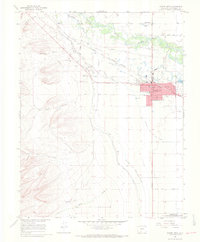
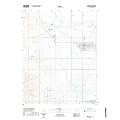
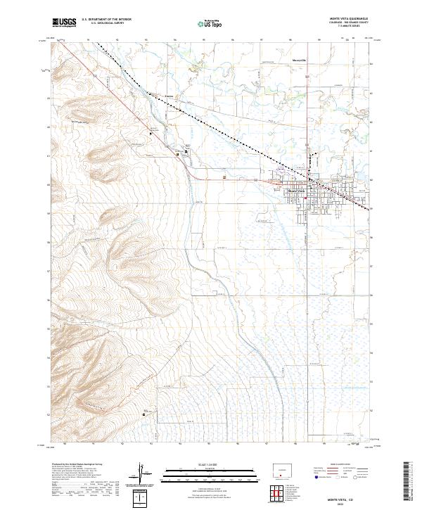 2022 Monte Vista2022 Print · USGSMonte Vista and the surrounding San Luis Valley are captured here in the early twenty-first century, showcasing a landscape defined by century-old irrigation systems. Family historians can locate several burial grounds including Rock Creek Cem and San Luis Valley Cem near the banks of the Rio Grande.
End of results
Showing maps 1-21 of 21
Top cities near Monte Vista
Frequently asked questions
- What are the different types of historical maps available for Monte Vista?
- What is the oldest map of Monte Vista?
- Where can I purchase historical maps of Monte Vista for my home or office?
- Where can I download high-res historical maps of Monte Vista?
- Are there historical topographic maps available for Monte Vista?
- Is there historical aerial imagery available for Monte Vista?
- Where are historical maps of Monte Vista sourced from?