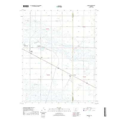
2019 Map of Homelake
USGS Topo · Published 2019About this map
The Rio Grande cuts through this high-altitude valley, defining a landscape dominated by a complex network of irrigation infrastructure and rural settlements. Small communities and rail-adjacent points like Homelake, Sugar Junction, and Zinzer are connected by a grid of county roads, reflecting the region's agricultural heritage. The sheer density of water management features, from the large-scale San Luis Valley Canal and Empire Canal to smaller laterals like the Leyden Lateral and Vano Ditch, illustrates the engineering required to sustain this Colorado basin. Conservation and public use are also represented by the Shriver and Wright SWA, which sits near the northern banks of the river. To the southwest, the outskirts of Monte Vista appear, alongside the Monte Vista Municipal Airport, marking the area's transition from open water-fed fields to a more concentrated municipal hub.
Find a feature on this map
61 named features on this map. Tap any name to fly to it.
Don’t see what you’re looking for? This feature index may not catch every label — zoom into the map to look around manually.
Map Details
Editions of this 2019 Homelake Map
This is the sole edition of this map. No revisions or reprints were ever made.
Other maps of this area
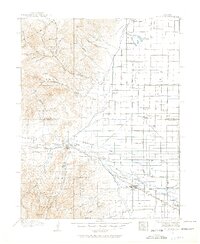
1915 · Del Norte
USGS Topo · 1:125,000
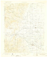
1917 · Del Norte
USGS Topo · 1:125,000
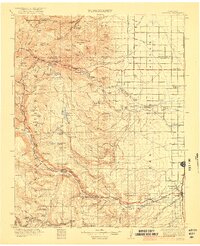
1922 · Conejos
USGS Topo · 1:125,000

1945 · Durango
USGS Topo · 1:250,000
1953 · Durango
USGS Topo · 1:250,000
1954 · Durango
USGS Topo · 1:250,000
1954 · Trinidad
USGS Topo · 1:250,000
1955 · Trinidad
USGS Topo · 1:250,000
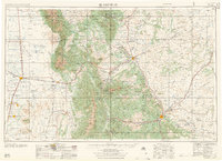
1958 · Trinidad
USGS Topo · 1:250,000
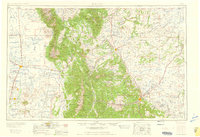
1959 · Trinidad
USGS Topo · 1:250,000