
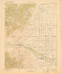
1917 Map of Del Norte
USGS Topo · Published 1917About this map
Del Norte and Monte Vista anchor this portion of the San Luis Valley during a period of significant agricultural expansion. The landscape is defined by the transition from the high Cochetopa Mountains and Garita National Forest in the west to the meticulously gridded valley floor. This flatland is heavily dependent on a complex network of man-made waterways including the Farmers Union Ditch, Travelers Canal, and Blanco Ditch, reflecting the intensive irrigation required for farming at this high elevation.
Find a feature on this map
80 named features on this map. Tap any name to fly to it.
Don’t see what you’re looking for? This feature index may not catch every label — zoom into the map to look around manually.
Map Details
Editions of this 1917 Del Norte Map
3 editions found
Other maps of this area

1913 · Summitville
USGS Topo · 1:125,000

1914 · Creede
USGS Topo · 1:125,000

1915 · Summitville
USGS Topo · 1:125,000

1915 · Del Norte
USGS Topo · 1:125,000

1916 · Creede
USGS Topo · 1:125,000

1922 · Conejos
USGS Topo · 1:125,000

1945 · Durango
USGS Topo · 1:250,000

1953 · Durango
USGS Topo · 1:250,000

1954 · Durango
USGS Topo · 1:250,000

1954 · Trinidad
USGS Topo · 1:250,000