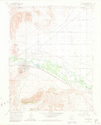
1917 Map of Del Norte
USGS Topo · Published 1949About this map
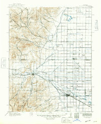
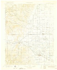
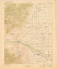
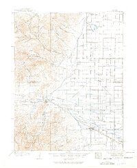
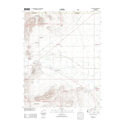
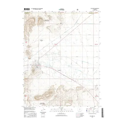
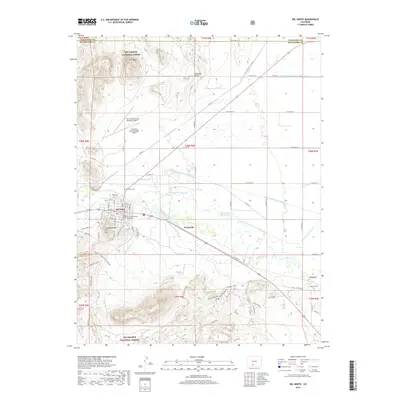
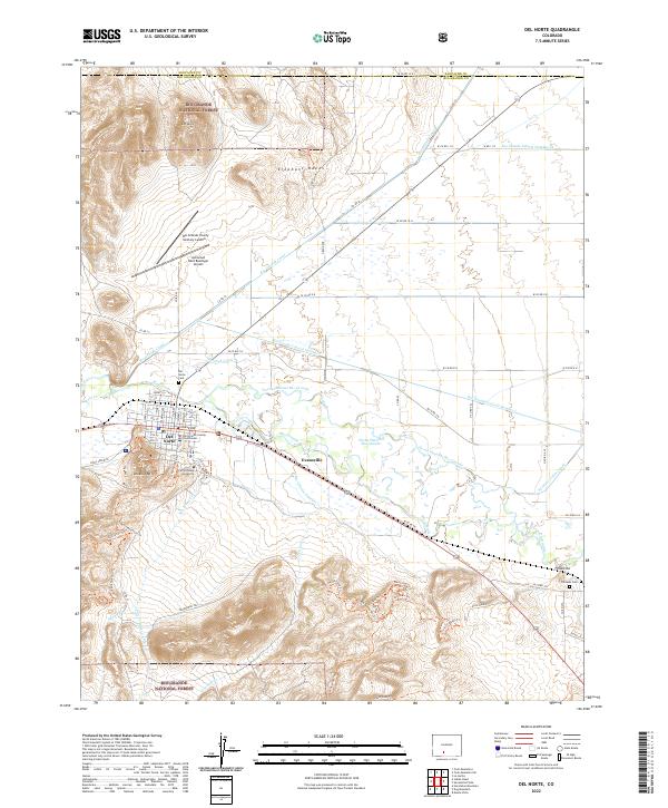
Del Norte and Monte Vista serve as the primary anchors for this 1910s landscape, where the high peaks of the La Garita Mountains meet the agricultural expanse of the S L Valley. The survey reveals a sophisticated irrigation network vital to the region's development, featuring the Farmers Union Ditch, Travelers Canal, and Blanco Ditch. These waterways transformed the arid plains into productive farmland, supported by a dense grid of rural educational institutions such as Noffsinger School, Bobs School, and the North Center School. Along the Rio Grande, the Denver and Rio Grande RR provided essential transport for the valley's resources. From the State Fish Hatchery to the heights of Poison Mtn, the map captures the transition from a timbered wilderness in the Rio Grande National Forest to a structured ranching and farming community.
Find a feature on this map
70 named features on this map. Tap any name to fly to it.
Don’t see what you’re looking for? This feature index may not catch every label — zoom into the map to look around manually.
Map Details
Editions of this 1917 Del Norte Map
3 editions found
Historical Maps of Monte Vista Through Time
10 maps found
1915 Del Norte
Rio Grande County, CO
1917 Del Norte
Rio Grande County, CO
1966 Del Norte
Rio Grande County, CO
1982 Del Norte
Rio Grande County, CO
2001 Del Norte
Rio Grande County, CO
2011 Del Norte
Rio Grande County, CO
2013 Del Norte
Rio Grande County, CO
2016 Del Norte
Rio Grande County, CO
2019 Del Norte
Rio Grande County, CO
2022 Del Norte
Rio Grande County, CO