Old Maps of Thurman, Colorado for Metal Detecting
Plan your next treasure hunt with 10 historic maps of Thurman. Find old homesites, ghost towns, trails, and gathering spots that may be lost to time — perfect for identifying promising metal detecting locations.
- Locate forgotten sites: Uncover places like long-lost settlements, abandoned rail lines, or gathering spots.
- Plan better hunts: Use map overlays combined with LiDAR or satellite views to narrow in on historically rich areas.
- Made for detectorists: Thousands of hobbyists use these maps to discover relics, coins, and hidden history.
Use these historic maps to boost your research and find new opportunities beneath the surface of Thurman.
Thurman, CO maps
(10)- 1954 Map of Limon
 1954 Limon1954 Print · USGSThe Eastern Colorado plains and the Kansas borderlands come alive in the mid-fifties, showing the vital rail-and-road corridor through Limon. Genealogists and historians can trace the Chicago Rock Island & Pacific line through Burlington and find remote outposts like Arickaree and Anton.4 unique versions available
 - 1957 Map of Limon
 1957 Limon1957 Print · USGSThe High Plains of Eastern Colorado and Western Kansas come alive in the mid-1950s, showing the vital rail-and-road connections of the era. You can trace the path of the Chicago Rock Island and Pacific through towns like Limon, Stratton, and Burlington or find the early footprint of Bonny Reservoir.
 - 1958 Map of Limon
 1958 Limon1958 Print · USGSEastern Colorado and the Kansas border meet in this late-fifties study of High Plains rail and river systems. Researchers can trace the path of the Chicago Rock Island and Pacific through Limon and Burlington, or locate the Bonny Dam and Bonny Reservoir.
 - 1977 Map of Thurman, 1978 Print
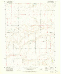 1977 Thurman1978 Print · USGSEastern Colorado's High Plains in the 1970s reveal a landscape of remote farmsteads and river drainages. Genealogists can locate Thurman Cem and the settlement of Thurman near the winding North Fork Arikaree River.
 - 1983 Map of Last Chance
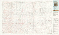 1983 Last Chance1983 Print · USGSThe high plains of Washington and Arapahoe counties in the early eighties were a network of isolated crossroads and essential watercourses. Genealogists and local historians can trace the foundations of rural life near Last Chance, Woodrow, and the valley of Arickaree Creek.
 - 2010 Map of Thurman, 2010 Print
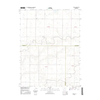
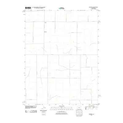 2010 Thurman2010 Print · USGSCovers Thurman, including Lincoln County, Kit Carson County, and other nearby areas
 - 2013 Map of Thurman, 2013 Print
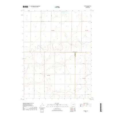
 2013 Thurman2013 Print · USGSCovers Thurman, including Lincoln County, Kit Carson County, and other nearby areas
 - 2016 Map of Thurman, 2016 Print
 2016 Thurman2016 Print · USGSCovers Thurman, including Lincoln County, Kit Carson County, and other nearby areas
 - 2019 Map of Thurman, 2019 Print
 2019 Thurman2019 Print · USGSCovers Thurman, including Lincoln County, Kit Carson County, and other nearby areas
 - 2022 Map of Thurman, 2022 Print
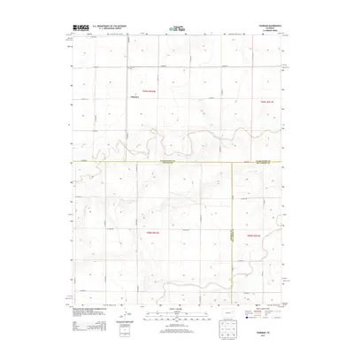
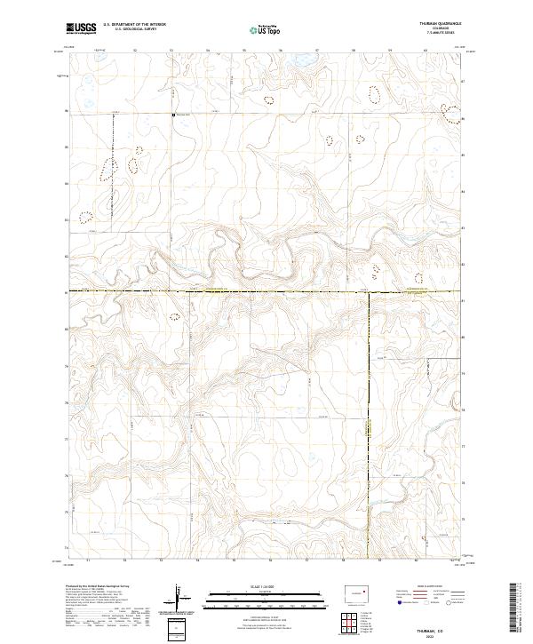 2022 Thurman2022 Print · USGSThe eastern Colorado plains meet at the tri-county border of Washington, Lincoln, and Kit Carson counties in this recent survey. Local historians can trace the course of the Arikaree River and locate the Thurman Cem along a network of section roads like CO RD 0.
End of results
Showing maps 1-10 of 10
Frequently asked questions
- What are the different types of historical maps available for Thurman?
- What is the oldest map of Thurman?
- Where can I purchase historical maps of Thurman for my home or office?
- Where can I download high-res historical maps of Thurman?
- Are there historical topographic maps available for Thurman?
- Is there historical aerial imagery available for Thurman?
- Where are historical maps of Thurman sourced from?