2000s (21st Century) Maps of Columbia, Connecticut
Explore 10 historic maps of Columbia from the 2000s (21st Century). These maps offer a rare glimpse into what life looked like during the 2000s — showing old roads, neighborhoods, homes, and landmarks that have changed or disappeared over time.
Whether you're researching your family's past, planning a metal detecting trip, or studying how Columbia's landscape evolved across the 2000s, these high-resolution maps are a powerful tool for exploring the history of this region.
- Focus on a specific era: All maps on this page are from the 2000s, giving you a focused view of this time period.
- See what’s changed: Compare century-old streets, trails, and buildings to today's modern landscape using overlays and satellite layers.
- Research with precision: Use these maps for genealogy, historical research, land use analysis, or educational projects.
- View, download, or print: Maps are fully viewable online in high resolution, and can be downloaded or printed for your own records.
Start exploring Columbia's history through authentic maps from the 2000s. This is your window into the past.
Columbia, CT maps
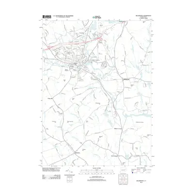
(10)- 2012 Map of Columbia, 2012 Print
 2012 Columbia2012 Print · USGSCovers Columbia, including Mansfield, Windham, and other nearby areas
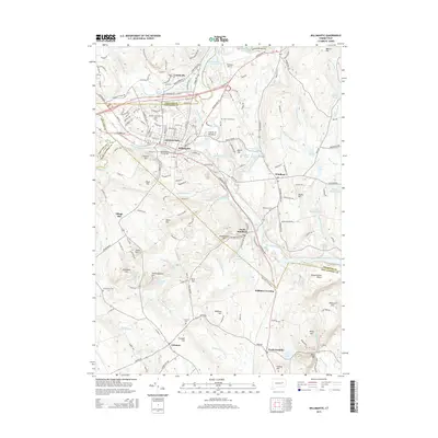
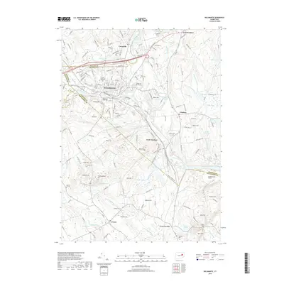
 - 2012 Map of Willimantic, 2012 Print
 2012 Willimantic2012 Print · USGSCovers Columbia, including Mansfield, Windham, and other nearby areas
 - 2015 Map of Columbia, 2015 Print
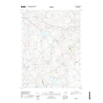
 2015 Columbia2015 Print · USGSCovers Columbia, including Mansfield, Windham, and other nearby areas
 - 2015 Map of Willimantic, 2015 Print
 2015 Willimantic2015 Print · USGSCovers Columbia, including Mansfield, Windham, and other nearby areas
 - 2018 Map of Columbia, 2018 Print
 2018 Columbia2018 Print · USGSCovers Columbia, including Mansfield, Windham, and other nearby areas
 - 2018 Map of Willimantic, 2018 Print
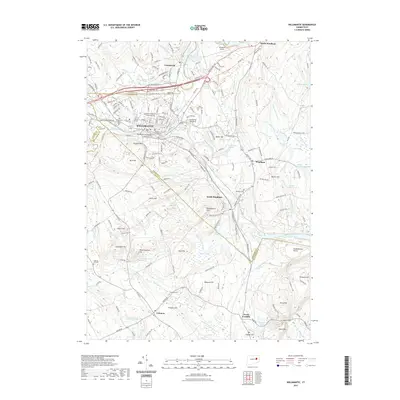
 2018 Willimantic2018 Print · USGSCovers Columbia, including Mansfield, Windham, and other nearby areas
 - 2021 Map of Columbia, 2021 Print
 2021 Columbia2021 Print · USGSCovers Columbia, including Mansfield, Windham, and other nearby areas
 - 2021 Map of Willimantic, 2021 Print
 2021 Willimantic2021 Print · USGSCovers Columbia, including Mansfield, Windham, and other nearby areas
 - 2024 Map of Willimantic, 2024 Print
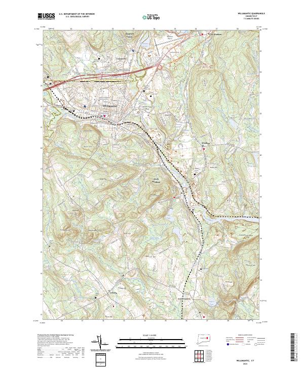 2024 Willimantic2024 Print · USGSWillimantic and the surrounding Windham countryside are shown here in modern detail, centered on the confluence of the Willimantic and Natchaug rivers. Researchers can locate historic sites like the Windham County Courthouse, the Airline Trl, and numerous burial grounds including Saint Joseph Cem.
 - 2024 Map of Columbia, 2024 Print
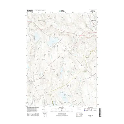
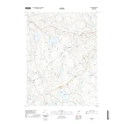
 2024 Columbia2024 Print · USGSThe hill country of eastern Connecticut is captured here during the 2020s, showing a landscape shaped by glacial ponds and early rail history. Genealogists and hikers can trace the Airline Trl, locate the Columbia Burying Grounds, or find old family sites near Chestnut Hill and Amston Lake.
End of results
Showing maps 1-10 of 10
Top cities near Columbia
- Manchester historical maps
- Norwich historical maps
- Glastonbury historical maps
- Vernon historical maps
- Mansfield historical maps
- South Windsor historical maps
See more
Frequently asked questions
- What are the different types of historical maps available for Columbia?
- What is the oldest map of Columbia?
- Where can I purchase historical maps of Columbia for my home or office?
- Where can I download high-res historical maps of Columbia?
- Are there historical topographic maps available for Columbia?
- Is there historical aerial imagery available for Columbia?
- Where are historical maps of Columbia sourced from?