2000s (21st Century) Maps of Norwich, Connecticut
Explore 15 historic maps of Norwich from the 2000s (21st Century). These maps offer a rare glimpse into what life looked like during the 2000s — showing old roads, neighborhoods, homes, and landmarks that have changed or disappeared over time.
Whether you're researching your family's past, planning a metal detecting trip, or studying how Norwich's landscape evolved across the 2000s, these high-resolution maps are a powerful tool for exploring the history of this region.
- Focus on a specific era: All maps on this page are from the 2000s, giving you a focused view of this time period.
- See what’s changed: Compare century-old streets, trails, and buildings to today's modern landscape using overlays and satellite layers.
- Research with precision: Use these maps for genealogy, historical research, land use analysis, or educational projects.
- View, download, or print: Maps are fully viewable online in high resolution, and can be downloaded or printed for your own records.
Start exploring Norwich's history through authentic maps from the 2000s. This is your window into the past.
Norwich, CT maps
(15)- 2012 Map of Fitchville, 2012 Print
 2012 Fitchville2012 Print · USGSCovers Norwich, including Montville, Colchester, and other nearby areas
 - 2012 Map of Uncasville, 2012 Print
 2012 Uncasville2012 Print · USGSCovers Norwich, including Groton, New London, and other nearby areas
 - 2012 Map of Norwich, 2012 Print
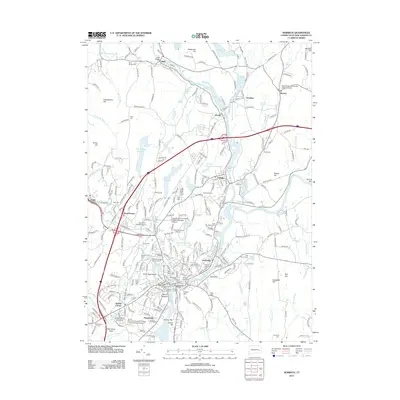 2012 Norwich2012 Print · USGSCovers Norwich, including Montville, Preston, and other nearby areas
 - 2015 Map of Fitchville, 2015 Print
 2015 Fitchville2015 Print · USGSCovers Norwich, including Montville, Colchester, and other nearby areas
 - 2015 Map of Norwich, 2015 Print
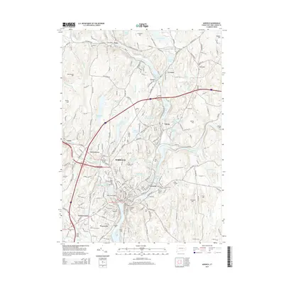 2015 Norwich2015 Print · USGSCovers Norwich, including Montville, Preston, and other nearby areas
 - 2015 Map of Uncasville, 2015 Print
 2015 Uncasville2015 Print · USGSCovers Norwich, including Groton, New London, and other nearby areas
 - 2018 Map of Fitchville, 2018 Print
 2018 Fitchville2018 Print · USGSCovers Norwich, including Montville, Colchester, and other nearby areas
 - 2018 Map of Norwich, 2018 Print
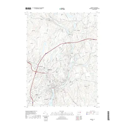 2018 Norwich2018 Print · USGSCovers Norwich, including Montville, Preston, and other nearby areas
 - 2018 Map of Uncasville, 2018 Print
 2018 Uncasville2018 Print · USGSCovers Norwich, including Groton, New London, and other nearby areas
 - 2021 Map of Uncasville, 2021 Print
 2021 Uncasville2021 Print · USGSCovers Norwich, including Groton, New London, and other nearby areas
 - 2021 Map of Norwich, 2021 Print
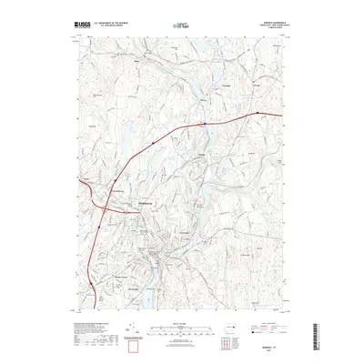 2021 Norwich2021 Print · USGSCovers Norwich, including Montville, Preston, and other nearby areas
 - 2021 Map of Fitchville, 2021 Print
 2021 Fitchville2021 Print · USGSCovers Norwich, including Montville, Colchester, and other nearby areas
 - 2024 Map of Fitchville, 2024 Print
 2024 Fitchville2024 Print · USGSNew London County's landscape is captured here in the contemporary era, centered on the historic settlements of Fitchville and Gilman. Genealogists and historians can trace numerous family burial sites, including Wightman Cem and the Gardner-Bulkeley Cem near Gardner Lake.
 - 2024 Map of Uncasville, 2024 Print
 2024 Uncasville2024 Print · USGSThe Thames River corridor in the modern era reveals a landscape shaped by military importance and deep ancestral roots. Trace family history through numerous small burial plots like Gales Ferry Cem or explore the riverside infrastructure of the Naval Submarine Base New London.
 - 2024 Map of Norwich, 2024 Print
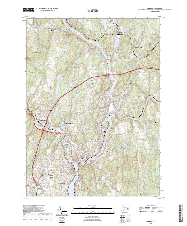 2024 Norwich2024 Print · USGSGreater Norwich and the Shetucket River valley are shown here in the 2020s, highlighting a landscape rich in Mohegan and colonial history. Researchers can trace ancestral sites like the Royal Mohegan Burial Ground, Founders Cem, and the historic Long Society Congregational Church.
End of results
Showing maps 1-15 of 15
Top cities near Norwich
- Groton historical maps
- New London historical maps
- Mansfield historical maps
- Windham historical maps
- Montville historical maps
- Waterford historical maps
See more
Top neighborhoods of Norwich
- Taftville historical maps
- Bean Hill historical maps
- Occum historical maps
- Yantic historical maps
- Greeneville historical maps
- Thamesville historical maps
See more
Frequently asked questions
- What are the different types of historical maps available for Norwich?
- What is the oldest map of Norwich?
- Where can I purchase historical maps of Norwich for my home or office?
- Where can I download high-res historical maps of Norwich?
- Are there historical topographic maps available for Norwich?
- Is there historical aerial imagery available for Norwich?
- Where are historical maps of Norwich sourced from?