2000s (21st Century) Maps of Norwalk, Connecticut
Explore 11 historic maps of Norwalk from the 2000s (21st Century). These maps offer a rare glimpse into what life looked like during the 2000s — showing old roads, neighborhoods, homes, and landmarks that have changed or disappeared over time.
Whether you're researching your family's past, planning a metal detecting trip, or studying how Norwalk's landscape evolved across the 2000s, these high-resolution maps are a powerful tool for exploring the history of this region.
- Focus on a specific era: All maps on this page are from the 2000s, giving you a focused view of this time period.
- See what’s changed: Compare century-old streets, trails, and buildings to today's modern landscape using overlays and satellite layers.
- Research with precision: Use these maps for genealogy, historical research, land use analysis, or educational projects.
- View, download, or print: Maps are fully viewable online in high resolution, and can be downloaded or printed for your own records.
Start exploring Norwalk's history through authentic maps from the 2000s. This is your window into the past.
Norwalk, CT maps
(11)- 2010 Map of Norwalk North, 2010 Print
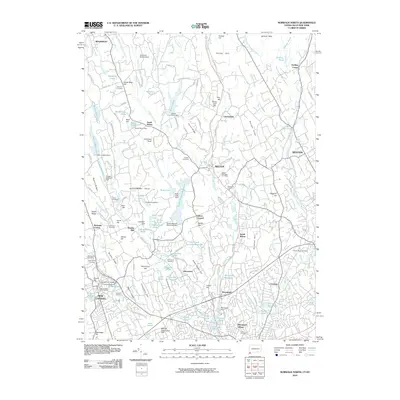 2010 Norwalk North2010 Print · USGSCovers Norwalk, including Westport, New Canaan, and other nearby areas
 - 2012 Map of Norwalk North, 2012 Print
 2012 Norwalk North2012 Print · USGSCovers Norwalk, including Westport, New Canaan, and other nearby areas
 - 2012 Map of Norwalk South, 2012 Print
 2012 Norwalk South2012 Print · USGSCovers Norwalk, including Huntington, Stamford, and other nearby areas
 - 2015 Map of Norwalk North, 2015 Print
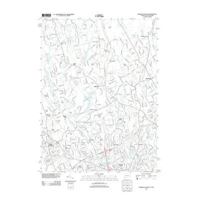
 2015 Norwalk North2015 Print · USGSCovers Norwalk, including Westport, New Canaan, and other nearby areas
 - 2015 Map of Norwalk South, 2015 Print
 2015 Norwalk South2015 Print · USGSCovers Norwalk, including Huntington, Stamford, and other nearby areas
 - 2018 Map of Norwalk North, 2018 Print
 2018 Norwalk North2018 Print · USGSCovers Norwalk, including Westport, New Canaan, and other nearby areas
 - 2018 Map of Norwalk South, 2018 Print
 2018 Norwalk South2018 Print · USGSCovers Norwalk, including Huntington, Stamford, and other nearby areas
 - 2021 Map of Norwalk South, 2021 Print
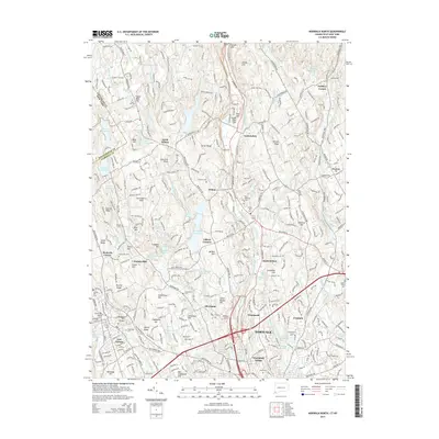
 2021 Norwalk South2021 Print · USGSCovers Norwalk, including Huntington, Stamford, and other nearby areas
 - 2021 Map of Norwalk North, 2021 Print
 2021 Norwalk North2021 Print · USGSCovers Norwalk, including Westport, New Canaan, and other nearby areas
 - 2024 Map of Norwalk North, 2024 Print
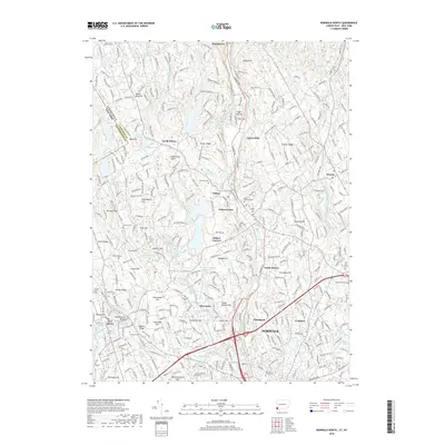
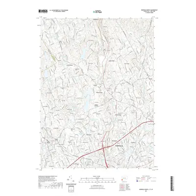
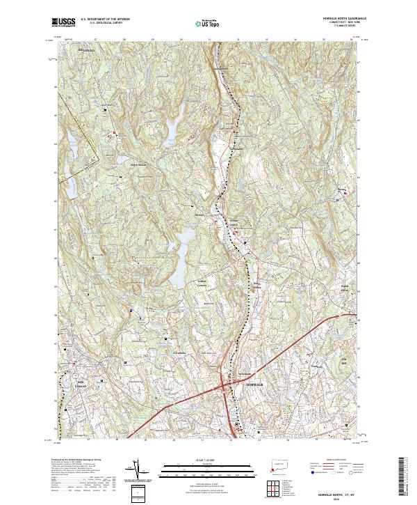 2024 Norwalk North2024 Print · USGSFairfield County’s modern landscape preserves deep roots in this survey of the communities between Ridgefield and Norwalk. Genealogists can trace family heritage through sites like Zion Hill Methodist Episcopal Cem and the Platt Burial Ground or explore the early settlements of Cannondale and Silvermine.
 - 2024 Map of Norwalk South, 2024 Print
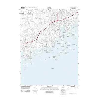
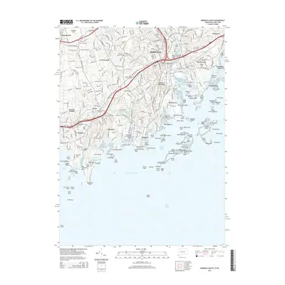
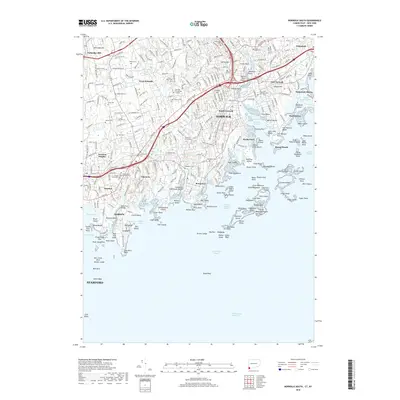
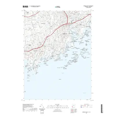
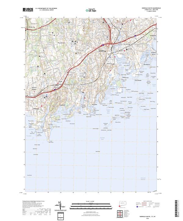 2024 Norwalk South2024 Print · USGSThe Fairfield County coast comes into sharp focus here, from the busy streets of Norwalk to the quiet coves of Tokeneke. Genealogists can locate several family graveyards like the Andreas-Hoyt Graveyard or trace the Metro-North Railroad through Darien Downtown.
End of results
Showing maps 1-11 of 11
Top cities near Norwalk
- Oyster Bay historical maps
- North Hempstead historical maps
- Huntington historical maps
- Bridgeport historical maps
- Stamford historical maps
- Smithtown historical maps
See more
Top neighborhoods of Norwalk
- Harborview historical maps
- Round Beach historical maps
- Shorehaven historical maps
- Cranbury historical maps
- Silvermine historical maps
- Winnipauk Village historical maps
See more
Frequently asked questions
- What are the different types of historical maps available for Norwalk?
- What is the oldest map of Norwalk?
- Where can I purchase historical maps of Norwalk for my home or office?
- Where can I download high-res historical maps of Norwalk?
- Are there historical topographic maps available for Norwalk?
- Is there historical aerial imagery available for Norwalk?
- Where are historical maps of Norwalk sourced from?