Old Maps of Ocheesee Landing, Florida for Genealogy
Trace your family roots with 12 historic maps of Ocheesee Landing. These high-res maps reveal old neighborhoods, homesites, landmarks, and streets — helping you uncover where your ancestors lived and how the area evolved over time.
- Explore historic neighborhoods: Identify where your relatives may have lived in the 1800s or 1900s.
- Compare maps over time: Trace the changes in streets, buildings, and landmarks for multi-generational research.
- Perfect for genealogy & ancestry research: Used by family historians and researchers to map out lineage and migration.
These maps are an incredible resource for exploring your personal connection to Ocheesee Landing's past.
Ocheesee Landing, FL maps
(12)- 1954 Map of Tallahassee, 1967 Print
 1954 Tallahassee1967 Print · USGSThe Florida Panhandle and South Georgia are captured here during a period of mid-century growth and military expansion. Researchers can trace the development of Panama City, the footprint of Tyndall Air Force Base, and the rail lines of the Atlantic Coast Line.4 unique versions available
 - 1955 Map of Rock Bluff, 1956 Print
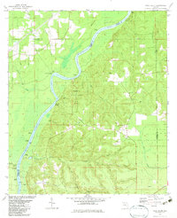
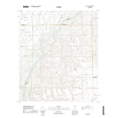
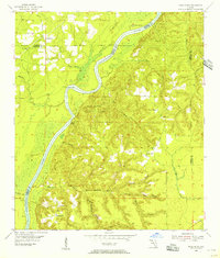 1955 Rock Bluff1956 Print · USGSThe Florida Panhandle river country is captured here in the mid-fifties, centered on the winding Apalachicola River. Genealogists and historians can trace rural lifeways through landmarks like Rock Bluff, St Stephens Ch, and the high ridges of Torreya State Park.2 unique versions available
 - 1959 Map of Tallahassee
 1959 Tallahassee1959 Print · USGSFlorida's Panhandle and the Big Bend region appear here in the mid-fifties, showing a landscape defined by its great river systems and developing coast. Trace the early layout of Panama City, the expansive Apalachicola National Forest, and the coastal St Marks Lighthouse.
 - 1960 Map of Tallahassee
 1960 Tallahassee1960 Print · USGSThe Florida Panhandle and southern Georgia are captured here in the mid-twentieth century, showing a region defined by its rivers and military installations. Genealogists and historians can trace the growth of Tallahassee or locate coastal landmarks like the St Marks Lighthouse and Tyndall Air Force Base.
 - 1978 Map of Bainbridge, 1980 Print
 1978 Bainbridge1980 Print · USGSIn the late seventies, this Georgia-Florida borderland was defined by the confluence of the Flint and Chattahoochee rivers. Trace the region's infrastructure via the Seaboard Coast Line Railroad and find sites like Bainbridge State Hospital.
 - 1982 Map of Rock Bluff, 1983 Print
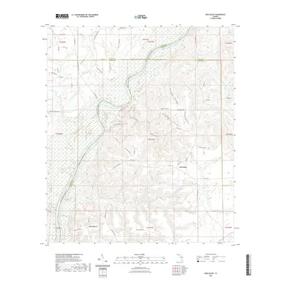
 1982 Rock Bluff1983 Print · USGSThe Apalachicola River bluffs of Liberty County are captured here in the early eighties, centered on the diverse terrain of Torreya State Park. Researchers can trace old river access points like Hickory Landing and Porters Landing alongside several local churches and burial sites.
 - 1988 Map of Tallahassee
 1988 Tallahassee1988 Print · USGSThe Florida Panhandle and South Georgia are captured here in the late eighties, showing the expansion of the regional highway network and coastal growth. Genealogists and historians can trace rail lines like the Seaboard System Railroad or locate family roots in Blountstown, Graceville, or Crawfordville.2 unique versions available
 - 2012 Map of Rock Bluff, 2012 Print
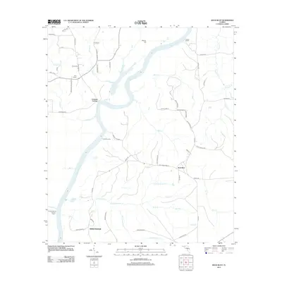 2012 Rock Bluff2012 Print · USGSCovers Ocheesee Landing, including Rock Bluff, Sweetwater, and other nearby areas
 - 2015 Map of Rock Bluff, 2015 Print
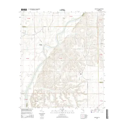 2015 Rock Bluff2015 Print · USGSCovers Ocheesee Landing, including Rock Bluff, Sweetwater, and other nearby areas
 - 2018 Map of Rock Bluff, 2018 Print
 2018 Rock Bluff2018 Print · USGSCovers Ocheesee Landing, including Rock Bluff, Sweetwater, and other nearby areas
 - 2021 Map of Rock Bluff, 2021 Print
 2021 Rock Bluff2021 Print · USGSCovers Ocheesee Landing, including Rock Bluff, Sweetwater, and other nearby areas
 - 2024 Map of Rock Bluff, 2024 Print
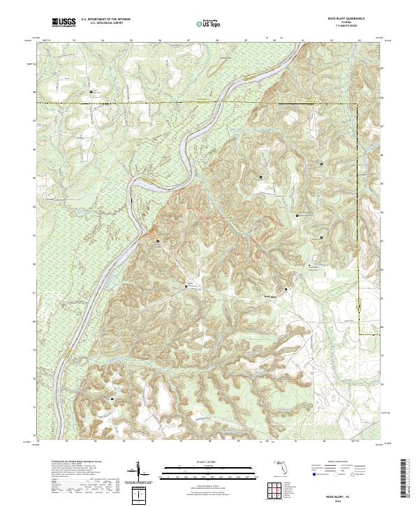 2024 Rock Bluff2024 Print · USGSLiberty County's high bluffs along the river appear in detail here during the modern era. Genealogists can trace family histories through numerous remote burial sites like Rockville Missionary Baptist Church Cem and Rock Bluff Cem.
End of results
Showing maps 1-12 of 12
Top cities near Ocheesee Landing
- Marianna historical maps
- Chattahoochee historical maps
- Blountstown historical maps
- Sneads historical maps
- Bristol historical maps
- Grand Ridge historical maps
See more
Frequently asked questions
- What are the different types of historical maps available for Ocheesee Landing?
- What is the oldest map of Ocheesee Landing?
- Where can I purchase historical maps of Ocheesee Landing for my home or office?
- Where can I download high-res historical maps of Ocheesee Landing?
- Are there historical topographic maps available for Ocheesee Landing?
- Is there historical aerial imagery available for Ocheesee Landing?
- Where are historical maps of Ocheesee Landing sourced from?