Old Maps of Englewood, Jacksonville
Explore 24 old maps of Englewood, spanning from 1918 to today. These high-resolution historic maps reveal how streets, neighborhoods, landmarks, and natural features evolved over time — perfect for genealogy, metal detecting, research, and local history exploration.
What you can do with these maps:
- See how Englewood changed over time: Compare historical maps to modern-day views to trace roads, homesites, rail lines & more.
- View detailed metadata: Each map includes creators, publishers, year, scale, and archive source.
- Overlay maps with satellite & LiDAR: Visualize the past alongside modern tools to explore terrain & human change.
- Trusted historical sources: Maps sourced from the USGS, Library of Congress, and other archives.
- Access maps your way: View online, download high-res files, or order prints for personal or research use.
Start exploring old maps of Englewood to uncover forgotten places, hidden landmarks, and the deep history beneath your feet.
Englewood, Jacksonville maps
(24)- 1918 Map of Jacksonville
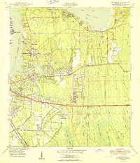
 1918 Jacksonville1918 Print · USGSJacksonville and the winding St. Johns River are shown here during the First World War, capturing the city's rail-and-river industrial core. Genealogists and researchers can trace early neighborhoods like Brooklyn and Murray Hill, or locate rural landmarks like Otto Chapel School and the Braddock School.5 unique versions available
 - 1948 Map of Jacksonville
 1948 Jacksonville1948 Print · USGSNortheast Florida and Southeast Georgia's coastal waterways and railroad towns are captured here in the years following the war. Genealogists can trace family connections through river towns like St Marys or identify long-standing military landmarks like Jacksonville NAS.
 - 1950 Map of Arlington
 1950 Arlington1950 Print · USGSCoastal Duval County comes alive in the early fifties as the St. Johns River communities begin to expand eastward into the pine lands. Local researchers can trace family roots through several rural burial grounds like Gilmore Cem and Parsons Cem, or locate historic landmarks such as Craig Field and the ancient Indian Mound.2 unique versions available
 - 1950 Map of Jacksonville
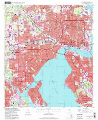
 1950 Jacksonville1950 Print · USGSJacksonville at the dawn of the fifties was a thriving riverfront hub of industry and commerce. Genealogists and researchers can trace the city's layout through numerous local landmarks, from Union Station and Edward Waters College to neighborhoods like Ortega and St Nicholas.
 - 1957 Map of Jacksonville, 1967 Print
 1957 Jacksonville1967 Print · USGSCoastal Florida and Georgia meet in the late fifties, showcasing a landscape of naval aviation, deep-water terminals, and barrier island communities. Researchers can trace the mid-century footprints of NAS Jacksonville, find small communities like Franklintown, and locate the historic Fort Clinch State Park.3 unique versions available
 - 1959 Map of Jacksonville
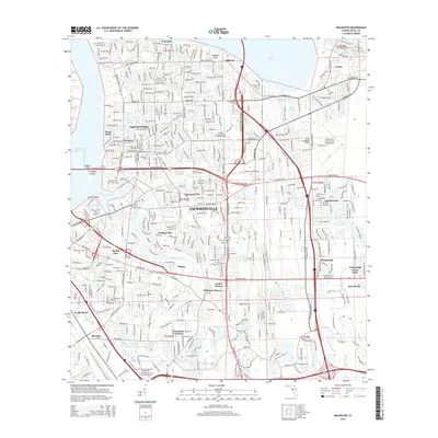
 1959 Jacksonville1959 Print · USGSNortheast Florida and Southeast Georgia are seen here in the late fifties, dominated by the maritime activity of the St Johns River and the Atlantic coast. Researchers can trace the mid-century layout of Jacksonville and identify sprawling military sites like Camp Blanding Military Reservation and Kings Bay Ammunition Terminal.
 - 1960 Map of Jacksonville
 1960 Jacksonville1960 Print · USGSCoastal Florida and Georgia meet in this mid-century portrait of a region shaped by naval power and the winding St Johns River. Researchers can trace the development of military sites like Cecil Field or locate historic rural landmarks such as Jerusalem Ch and Kings Ferry.
 - 1963 Map of Arlington, 1965 Print
 1963 Arlington1965 Print · USGSArlington and East Jacksonville are shown in a phase of significant suburban expansion just after the mid-century. Genealogists and researchers can trace the growth of Eggleston Heights and Southside Estates alongside landmarks like Parsons Cem and the Florida East Coast railway.6 unique versions available
 - 1964 Map of Jacksonville, 1966 Print
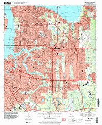
 1964 Jacksonville1966 Print · USGSThe riverfront and rail lines of this Florida port city are shown in detail during the mid-sixties boom. Researchers can trace historic neighborhoods and landmarks like Evergreen Cemetery, the Municipal Terminal, and the Fuller Warren Bridge.5 unique versions available
 - 1977 Map of Jacksonville, 1983 Print
 1977 Jacksonville1983 Print · USGSNortheast Florida during the late seventies shows a region defined by its deep-water naval bases and burgeoning riverfront suburbs. You can trace the rail networks of the Seaboard Coast Line, locate the Kingsley Plantation, and study the sprawling grounds of Cecil Field Naval Air Station.
 - 1980 Map of Jacksonville, 1984 Print
 1980 Jacksonville1984 Print · USGSThe Jacksonville metropolitan area and the Atlantic coast are captured here during a period of significant late-century growth. Researchers can trace the massive military footprints of Cecil Field and Mayport Naval Station alongside historic communities like Mandarin and Switzerland.
 - 1988 Map of Jacksonville
 1988 Jacksonville1988 Print · USGSCoastal Florida and Georgia are captured here during the late eighties, documenting the rapid growth of the First Coast and its vital military installations. Researchers can trace the development of beach communities like Fernandina Beach and Atlantic Beach or locate family landmarks near Mickler Landing and Orange Park.
 - 1994 Map of Jacksonville, 1998 Print
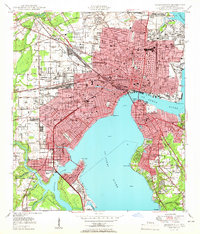
 1994 Jacksonville1998 Print · USGSJacksonville's urban core and riverfront neighborhoods are shown here in the 1990s, capturing the city before late-century redevelopment. Genealogists and historians can locate family sites near Evergreen Cemetery or trace the old rail lines serving Union Station and the Municipal Terminals.
 - 1994 Map of Arlington, 2003 Print
 1994 Arlington2003 Print · USGSJacksonville's eastern suburbs expanded across the St. Johns River in the late twentieth century, creating a dense network of neighborhoods and tidal creeks. Researchers can locate family sites like Sammis Cem, the Tree of Life Synagogue, and the original campus of Jacksonville University.
 - 2012 Map of Jacksonville, 2012 Print
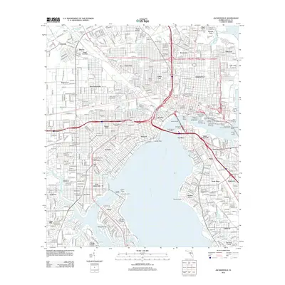 2012 Jacksonville2012 Print · USGSCovers Englewood, including Jacksonville, Grand Crossing, and other nearby areas
 - 2012 Map of Arlington, 2012 Print
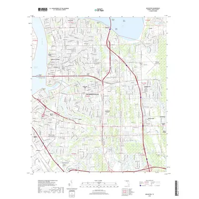
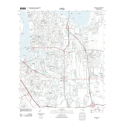 2012 Arlington2012 Print · USGSCovers Englewood, including Jacksonville, Holiday Hill, and other nearby areas
 - 2015 Map of Arlington, 2015 Print
 2015 Arlington2015 Print · USGSCovers Englewood, including Jacksonville, Holiday Hill, and other nearby areas
 - 2015 Map of Jacksonville, 2015 Print
 2015 Jacksonville2015 Print · USGSCovers Englewood, including Jacksonville, Grand Crossing, and other nearby areas
 - 2018 Map of Arlington, 2018 Print
 2018 Arlington2018 Print · USGSCovers Englewood, including Jacksonville, Holiday Hill, and other nearby areas
 - 2018 Map of Jacksonville, 2018 Print
 2018 Jacksonville2018 Print · USGSCovers Englewood, including Jacksonville, Grand Crossing, and other nearby areas
 - 2021 Map of Arlington, 2021 Print
 2021 Arlington2021 Print · USGSCovers Englewood, including Jacksonville, Holiday Hill, and other nearby areas
 - 2021 Map of Jacksonville, 2021 Print
 2021 Jacksonville2021 Print · USGSCovers Englewood, including Jacksonville, Grand Crossing, and other nearby areas
 - 2024 Map of Arlington, 2024 Print
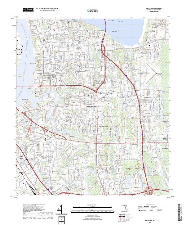 2024 Arlington2024 Print · USGSJacksonville's eastern expansion across the Arlington River and Pottsburg Creek is documented here in the early twenty-first century. Genealogists and historians can trace local landmarks from Floral Bluff to Cosmo, including several historic burial sites like Parsons Cem and Gilmore Cem.
 - 2024 Map of Jacksonville, 2024 Print
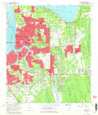
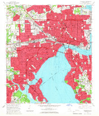
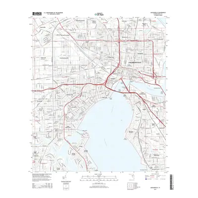
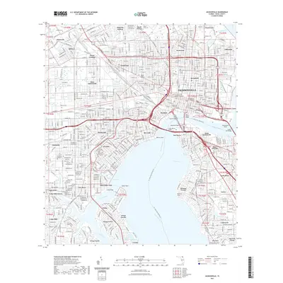
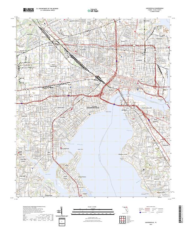 2024 Jacksonville2024 Print · USGSCoastal Florida's urban hub is captured here as it appeared in the 2020s, showing the dense street grids and riverfront neighborhoods of Jacksonville. Researchers can trace family sites near Evergreen Cem or explore the historic residential layouts of Riverside and Ortega.
End of results
Showing maps 1-24 of 24
Frequently asked questions
- What are the different types of historical maps available for Englewood?
- What is the oldest map of Englewood?
- Where can I purchase historical maps of Englewood for my home or office?
- Where can I download high-res historical maps of Englewood?
- Are there historical topographic maps available for Englewood?
- Is there historical aerial imagery available for Englewood?
- Where are historical maps of Englewood sourced from?