Old Maps of Apalachicola, Florida
Explore 25 old maps of Apalachicola, spanning from 1943 to today. These high-resolution historic maps reveal how streets, neighborhoods, landmarks, and natural features evolved over time — perfect for genealogy, metal detecting, research, and local history exploration.
What you can do with these maps:
- See how Apalachicola changed over time: Compare historical maps to modern-day views to trace roads, homesites, rail lines & more.
- View detailed metadata: Each map includes creators, publishers, year, scale, and archive source.
- Overlay maps with satellite & LiDAR: Visualize the past alongside modern tools to explore terrain & human change.
- Trusted historical sources: Maps sourced from the USGS, Library of Congress, and other archives.
- Access maps your way: View online, download high-res files, or order prints for personal or research use.
Start exploring old maps of Apalachicola to uncover forgotten places, hidden landmarks, and the deep history beneath your feet.
Apalachicola, FL maps
(25)- 1943 Map of West Pass
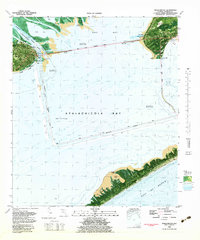
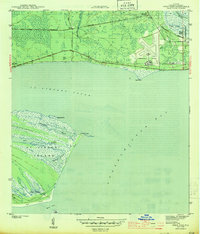 1943 West Pass1943 Print · USGSThe Franklin County coastline comes alive in this wartime survey of the marshes and barrier islands surrounding Apalachicola. Researchers can trace the early layout of Nine Mile, the P and R Ranch, and the Apalachicola Northern railroad line.5 unique versions available
 - 1943 Map of Apalachicola
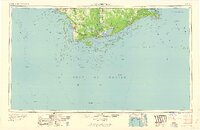
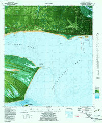
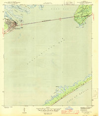 1943 Apalachicola1943 Print · USGSCoastal Franklin County at the height of the war years reveals a landscape defined by its river-and-rail economy. Genealogists and historians can trace the streets of Apalachicola, the crossing to Eastpoint, and landmarks like Godleys Bluff and the Apalachicola Northern rail line.4 unique versions available
 - 1944 Map of Apalachicola, 1960 Print
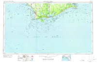
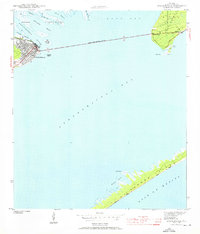 1944 Apalachicola1960 Print · USGSFlorida's Forgotten Coast comes to life in the mid-1940s as the riverfront town of Apalachicola connects to the mainland. Trace the early layout of Eastpoint and explore the natural shoreline from Godleys Bluff to the dunes of St George Island.
 - 1949 Map of Apalachicola
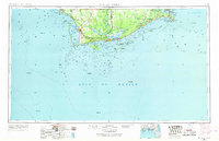
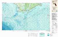
 1949 Apalachicola1949 Print · USGSThe Florida Panhandle's Forgotten Coast is captured mid-century, showcasing the intricate web of swamps, sounds, and barrier islands. Genealogists and historians can trace the Apalachicola Northern rail line and locate old landmarks like Fort Gadsden or the St Joe Fire Tower.
 - 1957 Map of Apalachicola, 1968 Print
 1957 Apalachicola1968 Print · USGSFlorida's Forgotten Coast comes alive in this mid-century portrait of timber, fishing, and military outposts. Researchers can trace the waterfronts of Apalachicola, the grounds of Fort Gadsden, and the early footprint of Mexico Beach before modern development.2 unique versions available
 - 1959 Map of Apalachicola
 1959 Apalachicola1959 Print · USGSThe Florida Panhandle's coastline is captured in the late fifties, showcasing the maritime and rail connections between Port St Joe and the oyster-rich waters of Apalachicola. Researchers can trace the legacy of Fort Gadsden or locate historic rail stops like Lanark Station and McIntyre along the coast.
 - 1960 Map of Apalachicola
 1960 Apalachicola1960 Print · USGSFlorida's Forgotten Coast was a realm of maritime industry and vast wetlands in the late fifties. Genealogists and historians can trace the rail lines of the Apalachicola Northern or locate sites like Port St Joe, the Cape St George Lighthouse, and Carrabelle.
 - 1967 Map of Apalachicola, 1975 Print
 1967 Apalachicola1975 Print · USGSCoastal Florida in the mid-twentieth century reveals a landscape of maritime navigation and expansive wetlands. Trace the Apalachicola Northern rail line to waterfront hubs like Carrabelle and the historic Cape St George Lighthouse.
 - 1978 Map of Port Saint Joe, 1980 Print
 1978 Port Saint Joe1980 Print · USGSThe Florida Panhandle coastline in the late seventies reveals a landscape of massive wildlife refuges and critical maritime waterways. Genealogists and historians can trace the Apalachicola Northern rail line and locate coastal landmarks like Port St Joe and Beacon Hill.2 unique versions available
 - 1978 Map of Carrabelle, 1980 Print
 1978 Carrabelle1980 Print · USGSCoastal Franklin County comes into focus during the late seventies, showing a landscape defined by maritime trade and timber. Researchers can locate historic sites like Fort Gadsden, trace the rail line past Buck Siding, or explore the reach of Tates Hell Swamp.4 unique versions available
 - 1982 Map of Apalachicola, 1983 Print
 1982 Apalachicola1983 Print · USGSCoastal Franklin County in the early eighties shows a thriving maritime landscape at the mouth of the river. Genealogists and local historians can trace the town layouts of Apalachicola and Eastpoint or locate landmarks like Battery Park and Magnolia Bluffs.
 - 1982 Map of West Pass, 1983 Print
 1982 West Pass1983 Print · USGSThe Florida Panhandle coast near Apalachicola shows its dual nature as a protected wilderness and military site in the early eighties. Researchers can trace the layout of the St Vincent National Wildlife Refuge and locate the Apa Army Test Facility near Green Point.2 unique versions available
 - 1988 Map of Apalachicola
 1988 Apalachicola1988 Print · USGSThe Florida Panhandle's Forgotten Coast comes to life in the late eighties, showing the delicate balance between wild marshlands and historic waterfront towns. Researchers can trace the shoreline from Cape San Blas to Bald Point, locating family-named landings like Hays Place and the historic grounds of Fort Gadsden.
 - 2012 Map of Apalachicola, 2012 Print
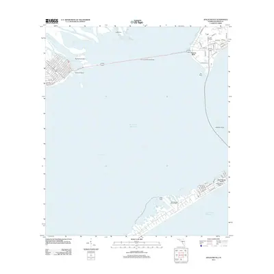 2012 Apalachicola2012 Print · USGSCovers Apalachicola, including Eastpoint, Magnolia Bluffs, and other nearby areas
 - 2012 Map of West Pass, 2012 Print
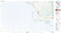
 2012 West Pass2012 Print · USGSCovers Apalachicola, including Nine Mile, Tilton, and other nearby areas
 - 2015 Map of West Pass, 2015 Print
 2015 West Pass2015 Print · USGSCovers Apalachicola, including Nine Mile, Tilton, and other nearby areas
 - 2015 Map of Apalachicola, 2015 Print
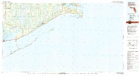
 2015 Apalachicola2015 Print · USGSCovers Apalachicola, including Eastpoint, Magnolia Bluffs, and other nearby areas
 - 2018 Map of Apalachicola, 2018 Print
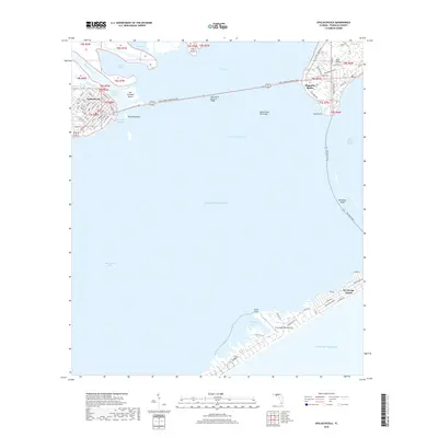 2018 Apalachicola2018 Print · USGSCovers Apalachicola, including Eastpoint, Magnolia Bluffs, and other nearby areas
 - 2018 Map of West Pass, 2018 Print
 2018 West Pass2018 Print · USGSCovers Apalachicola, including Nine Mile, Tilton, and other nearby areas
 - 2021 Map of Apalachicola, 2021 Print
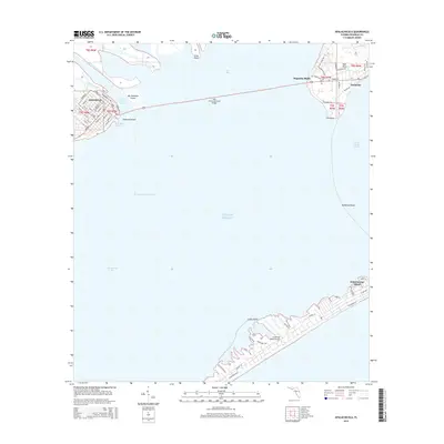
 2021 Apalachicola2021 Print · USGSCovers Apalachicola, including Eastpoint, Magnolia Bluffs, and other nearby areas
 - 2021 Map of West Pass, 2021 Print
 2021 West Pass2021 Print · USGSCovers Apalachicola, including Nine Mile, Tilton, and other nearby areas
 - 2024 Map of West Pass, 2024 Print
 2024 West Pass2024 Print · USGSCovers Apalachicola, including Nine Mile, Tilton, and other nearby areas
 - 2024 Map of Apalachicola, 2024 Print
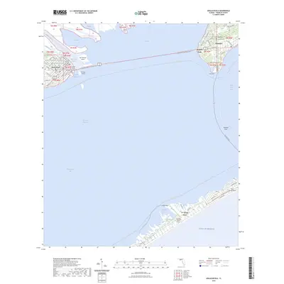 2024 Apalachicola2024 Print · USGSCovers Apalachicola, including Eastpoint, Magnolia Bluffs, and other nearby areas
 - 2025 Map of Apalachicola, 2025 Print
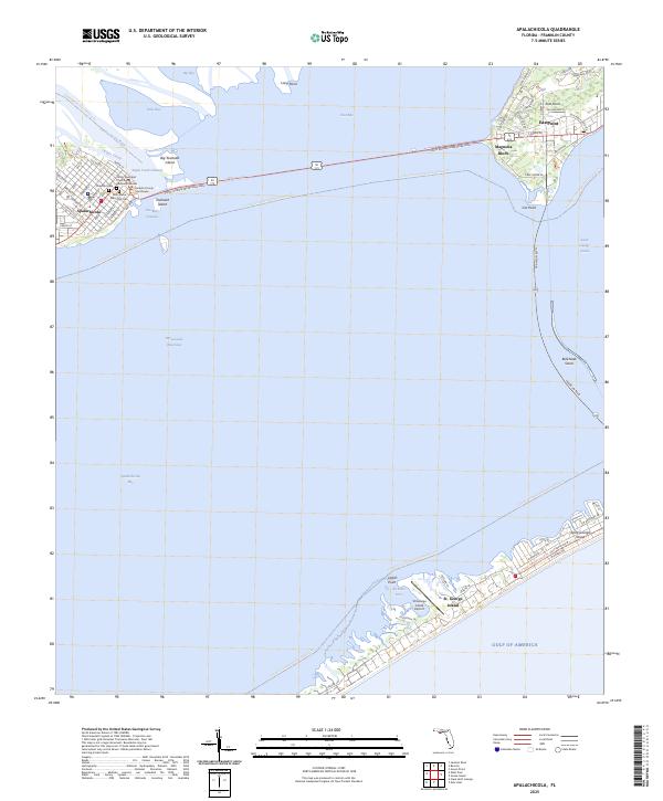 2025 Apalachicola2025 Print · USGSCoastal Franklin County comes alive in this study of the waterfront communities and barrier islands during the mid-2020s. Genealogists and local historians can trace street-level details in Apalachicola and locate landmarks like Chestnut Cem or the Franklin County Courthouse.
 - 2025 Map of West Pass, 2025 Print
 2025 West Pass2025 Print · USGSThe Franklin County coastline comes into sharp focus in this mid-2020s survey of the barrier islands and river delta. Researchers can trace the trails of Saint Vincent Island or locate family history at Magnolia Cem and Hatch Cem.
End of results
Showing maps 1-25 of 25
Frequently asked questions
- What are the different types of historical maps available for Apalachicola?
- What is the oldest map of Apalachicola?
- Where can I purchase historical maps of Apalachicola for my home or office?
- Where can I download high-res historical maps of Apalachicola?
- Are there historical topographic maps available for Apalachicola?
- Is there historical aerial imagery available for Apalachicola?
- Where are historical maps of Apalachicola sourced from?