2000s (21st Century) Maps of Apalachicola, Florida
Explore 12 historic maps of Apalachicola from the 2000s (21st Century). These maps offer a rare glimpse into what life looked like during the 2000s — showing old roads, neighborhoods, homes, and landmarks that have changed or disappeared over time.
Whether you're researching your family's past, planning a metal detecting trip, or studying how Apalachicola's landscape evolved across the 2000s, these high-resolution maps are a powerful tool for exploring the history of this region.
- Focus on a specific era: All maps on this page are from the 2000s, giving you a focused view of this time period.
- See what’s changed: Compare century-old streets, trails, and buildings to today's modern landscape using overlays and satellite layers.
- Research with precision: Use these maps for genealogy, historical research, land use analysis, or educational projects.
- View, download, or print: Maps are fully viewable online in high resolution, and can be downloaded or printed for your own records.
Start exploring Apalachicola's history through authentic maps from the 2000s. This is your window into the past.
Apalachicola, FL maps
(12)- 2012 Map of Apalachicola, 2012 Print
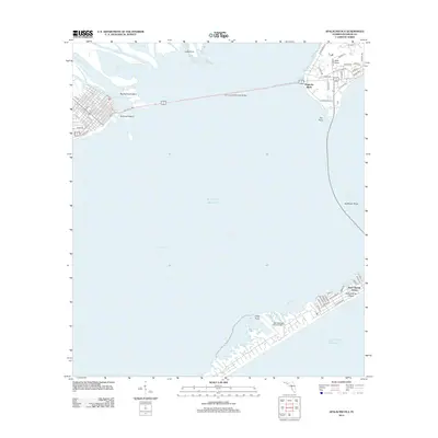 2012 Apalachicola2012 Print · USGSCovers Apalachicola, including Eastpoint, Magnolia Bluffs, and other nearby areas
 - 2012 Map of West Pass, 2012 Print
 2012 West Pass2012 Print · USGSCovers Apalachicola, including Nine Mile, Tilton, and other nearby areas
 - 2015 Map of West Pass, 2015 Print
 2015 West Pass2015 Print · USGSCovers Apalachicola, including Nine Mile, Tilton, and other nearby areas
 - 2015 Map of Apalachicola, 2015 Print
 2015 Apalachicola2015 Print · USGSCovers Apalachicola, including Eastpoint, Magnolia Bluffs, and other nearby areas
 - 2018 Map of Apalachicola, 2018 Print
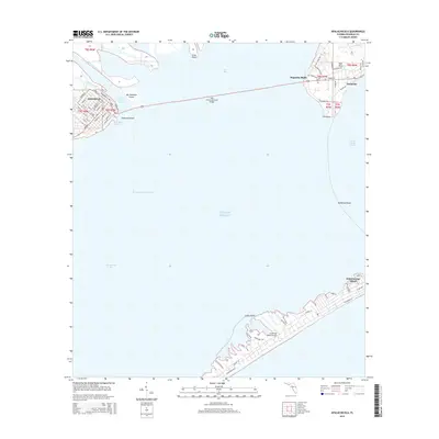
 2018 Apalachicola2018 Print · USGSCovers Apalachicola, including Eastpoint, Magnolia Bluffs, and other nearby areas
 - 2018 Map of West Pass, 2018 Print
 2018 West Pass2018 Print · USGSCovers Apalachicola, including Nine Mile, Tilton, and other nearby areas
 - 2021 Map of Apalachicola, 2021 Print
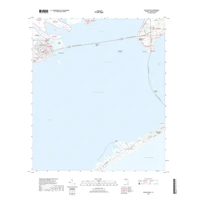
 2021 Apalachicola2021 Print · USGSCovers Apalachicola, including Eastpoint, Magnolia Bluffs, and other nearby areas
 - 2021 Map of West Pass, 2021 Print
 2021 West Pass2021 Print · USGSCovers Apalachicola, including Nine Mile, Tilton, and other nearby areas
 - 2024 Map of West Pass, 2024 Print
 2024 West Pass2024 Print · USGSCovers Apalachicola, including Nine Mile, Tilton, and other nearby areas
 - 2024 Map of Apalachicola, 2024 Print
 2024 Apalachicola2024 Print · USGSCovers Apalachicola, including Eastpoint, Magnolia Bluffs, and other nearby areas
 - 2025 Map of Apalachicola, 2025 Print
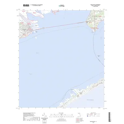
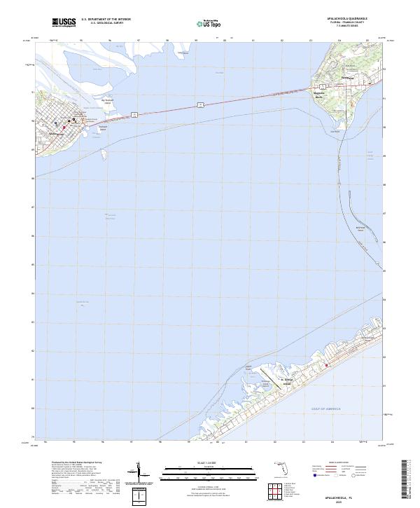 2025 Apalachicola2025 Print · USGSCoastal Franklin County comes alive in this study of the waterfront communities and barrier islands during the mid-2020s. Genealogists and local historians can trace street-level details in Apalachicola and locate landmarks like Chestnut Cem or the Franklin County Courthouse.
 - 2025 Map of West Pass, 2025 Print
 2025 West Pass2025 Print · USGSThe Franklin County coastline comes into sharp focus in this mid-2020s survey of the barrier islands and river delta. Researchers can trace the trails of Saint Vincent Island or locate family history at Magnolia Cem and Hatch Cem.
End of results
Showing maps 1-12 of 12
Frequently asked questions
- What are the different types of historical maps available for Apalachicola?
- What is the oldest map of Apalachicola?
- Where can I purchase historical maps of Apalachicola for my home or office?
- Where can I download high-res historical maps of Apalachicola?
- Are there historical topographic maps available for Apalachicola?
- Is there historical aerial imagery available for Apalachicola?
- Where are historical maps of Apalachicola sourced from?