Old Maps of Greensboro, Florida for Hiking & Exploration
Hike through history with 21 historic maps of Greensboro. Explore old trails, ghost towns, and forgotten backroads — perfect for outdoor adventurers and local explorers.
- Rediscover forgotten places: Map out old mining camps, roads, and footpaths that no longer exist on modern maps.
- Layer with modern tools: Combine with LiDAR or satellite views to plan hikes through historical terrain.
- Made for exploration: Popular among hikers, overlanders, and local history lovers.
Use these maps to find adventure and explore the hidden past of Greensboro.
Greensboro, FL maps
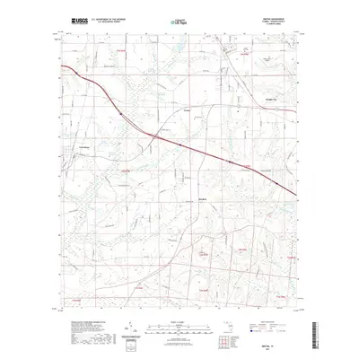
(21)- 1954 Map of Tallahassee, 1967 Print
 1954 Tallahassee1967 Print · USGSThe Florida Panhandle and South Georgia are captured here during a period of mid-century growth and military expansion. Researchers can trace the development of Panama City, the footprint of Tyndall Air Force Base, and the rail lines of the Atlantic Coast Line.4 unique versions available
 - 1955 Map of Sycamore, 1956 Print
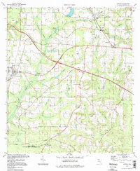
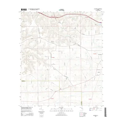
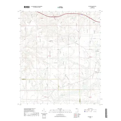
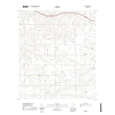
 1955 Sycamore1956 Print · USGSGadsden County timberlands and rural settlements are frozen in time mid-century, before significant modern development. Genealogists can locate family landmarks such as Smith Cem, Hawkins Lane Ch, and the historic Forbes Purchase Line.2 unique versions available
 - 1959 Map of Tallahassee
 1959 Tallahassee1959 Print · USGSFlorida's Panhandle and the Big Bend region appear here in the mid-fifties, showing a landscape defined by its great river systems and developing coast. Trace the early layout of Panama City, the expansive Apalachicola National Forest, and the coastal St Marks Lighthouse.
 - 1959 Map of Gretna, 1960 Print
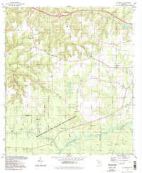
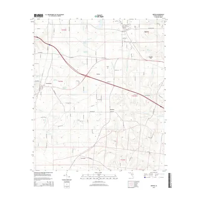
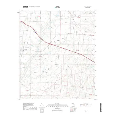
 1959 Gretna1960 Print · USGSGadsden County in the late fifties shows a rural landscape of family-run mills and established country churches. Researchers can trace the Seaboard Air Line through Gretna or locate historic sites like Shepards Millpond and the Union Chapel Cem.2 unique versions available
 - 1960 Map of Tallahassee
 1960 Tallahassee1960 Print · USGSThe Florida Panhandle and southern Georgia are captured here in the mid-twentieth century, showing a region defined by its rivers and military installations. Genealogists and historians can trace the growth of Tallahassee or locate coastal landmarks like the St Marks Lighthouse and Tyndall Air Force Base.
 - 1978 Map of Bainbridge, 1980 Print
 1978 Bainbridge1980 Print · USGSIn the late seventies, this Georgia-Florida borderland was defined by the confluence of the Flint and Chattahoochee rivers. Trace the region's infrastructure via the Seaboard Coast Line Railroad and find sites like Bainbridge State Hospital.
 - 1982 Map of Gretna, 1983 Print
 1982 Gretna1983 Print · USGSGadsden County in the early eighties shows a landscape of small agricultural hubs and millponds along the SEABOARD line. Local historians can trace established community landmarks like Gretna Sch and Sunny Dell Cem, or explore the historic boundaries of the Forbes Purchase.2 unique versions available
 - 1982 Map of Sycamore, 1983 Print
 1982 Sycamore1983 Print · USGSGadsden and Liberty counties are shown here in the early eighties, a rural landscape shaped by old land grants and deep-seated family roots. Genealogists and local historians can trace legacy sites like Gause Cem, Sycamore Ch, and the historical Forbes Purchase Line.
 - 1988 Map of Tallahassee
 1988 Tallahassee1988 Print · USGSThe Florida Panhandle and South Georgia are captured here in the late eighties, showing the expansion of the regional highway network and coastal growth. Genealogists and historians can trace rail lines like the Seaboard System Railroad or locate family roots in Blountstown, Graceville, or Crawfordville.2 unique versions available
 - 1994 Map of Gretna, 1998 Print
 1994 Gretna1998 Print · USGSGadsden County in the 1990s remained a landscape of rural settlements and timberland management. Genealogists can trace family footprints through sites like Sunny Dell Cem, St Marys Ch, and the small community at Sawdust.
 - 1994 Map of Sycamore, 1998 Print
 1994 Sycamore1998 Print · USGSGadsden County's rural landscape is mapped here in the late twentieth century, showing a network of small churches and family land lines. Genealogists can trace property markers like the Forbes Purchase Line or locate ancestral sites at Smith Cem and Gause Cem.2 unique versions available
 - 2012 Map of Sycamore, 2012 Print
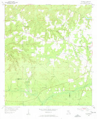
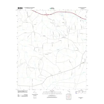 2012 Sycamore2012 Print · USGSCovers Greensboro, including Juniper, Sycamore, and other nearby areas
 - 2012 Map of Gretna, 2012 Print
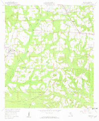
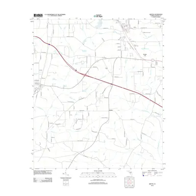 2012 Gretna2012 Print · USGSCovers Greensboro, including Gretna, Sawdust, and other nearby areas
 - 2015 Map of Gretna, 2015 Print
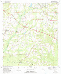
 2015 Gretna2015 Print · USGSCovers Greensboro, including Gretna, Sawdust, and other nearby areas
 - 2015 Map of Sycamore, 2015 Print
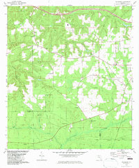
 2015 Sycamore2015 Print · USGSCovers Greensboro, including Juniper, Sycamore, and other nearby areas
 - 2018 Map of Gretna, 2018 Print
 2018 Gretna2018 Print · USGSCovers Greensboro, including Gretna, Sawdust, and other nearby areas
 - 2018 Map of Sycamore, 2018 Print
 2018 Sycamore2018 Print · USGSCovers Greensboro, including Juniper, Sycamore, and other nearby areas
 - 2021 Map of Gretna, 2021 Print
 2021 Gretna2021 Print · USGSCovers Greensboro, including Gretna, Sawdust, and other nearby areas
 - 2021 Map of Sycamore, 2021 Print
 2021 Sycamore2021 Print · USGSCovers Greensboro, including Juniper, Sycamore, and other nearby areas
 - 2024 Map of Sycamore, 2024 Print
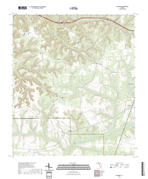 2024 Sycamore2024 Print · USGSGadsden and Liberty County rural life is documented here in the early twenty-first century, showing a landscape shaped by family estates and timber lands. Researchers can trace local heritage through numerous burial sites like Kelly Family Cem, Sycamore Cem, and Potter Hill Cem.
 - 2024 Map of Gretna, 2024 Print
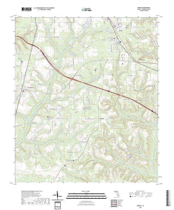 2024 Gretna2024 Print · USGSGadsden County at the start of the 2020s shows a landscape of long-standing rural communities and intricate creek systems. Genealogists can trace family heritage at Gretna and Greensboro, while identifying small burials like Edwards Cem and Gunn Cem.
End of results
Showing maps 1-21 of 21
Top cities near Greensboro
- Quincy historical maps
- Chattahoochee historical maps
- Sneads historical maps
- Midway historical maps
- Gretna historical maps
Frequently asked questions
- What are the different types of historical maps available for Greensboro?
- What is the oldest map of Greensboro?
- Where can I purchase historical maps of Greensboro for my home or office?
- Where can I download high-res historical maps of Greensboro?
- Are there historical topographic maps available for Greensboro?
- Is there historical aerial imagery available for Greensboro?
- Where are historical maps of Greensboro sourced from?