Old Maps of Sycamore, Florida
Explore 13 old maps of Sycamore, spanning from 1954 to today. These high-resolution historic maps reveal how streets, neighborhoods, landmarks, and natural features evolved over time — perfect for genealogy, metal detecting, research, and local history exploration.
What you can do with these maps:
- See how Sycamore changed over time: Compare historical maps to modern-day views to trace roads, homesites, rail lines & more.
- View detailed metadata: Each map includes creators, publishers, year, scale, and archive source.
- Overlay maps with satellite & LiDAR: Visualize the past alongside modern tools to explore terrain & human change.
- Trusted historical sources: Maps sourced from the USGS, Library of Congress, and other archives.
- Access maps your way: View online, download high-res files, or order prints for personal or research use.
Start exploring old maps of Sycamore to uncover forgotten places, hidden landmarks, and the deep history beneath your feet.
Sycamore, FL maps
(13)- 1954 Map of Tallahassee, 1967 Print
 1954 Tallahassee1967 Print · USGSThe Florida Panhandle and South Georgia are captured here during a period of mid-century growth and military expansion. Researchers can trace the development of Panama City, the footprint of Tyndall Air Force Base, and the rail lines of the Atlantic Coast Line.4 unique versions available
 - 1955 Map of Sycamore, 1956 Print
 1955 Sycamore1956 Print · USGSGadsden County timberlands and rural settlements are frozen in time mid-century, before significant modern development. Genealogists can locate family landmarks such as Smith Cem, Hawkins Lane Ch, and the historic Forbes Purchase Line.2 unique versions available
 - 1959 Map of Tallahassee
 1959 Tallahassee1959 Print · USGSFlorida's Panhandle and the Big Bend region appear here in the mid-fifties, showing a landscape defined by its great river systems and developing coast. Trace the early layout of Panama City, the expansive Apalachicola National Forest, and the coastal St Marks Lighthouse.
 - 1960 Map of Tallahassee
 1960 Tallahassee1960 Print · USGSThe Florida Panhandle and southern Georgia are captured here in the mid-twentieth century, showing a region defined by its rivers and military installations. Genealogists and historians can trace the growth of Tallahassee or locate coastal landmarks like the St Marks Lighthouse and Tyndall Air Force Base.
 - 1978 Map of Bainbridge, 1980 Print
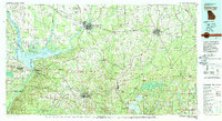 1978 Bainbridge1980 Print · USGSIn the late seventies, this Georgia-Florida borderland was defined by the confluence of the Flint and Chattahoochee rivers. Trace the region's infrastructure via the Seaboard Coast Line Railroad and find sites like Bainbridge State Hospital.
 - 1982 Map of Sycamore, 1983 Print
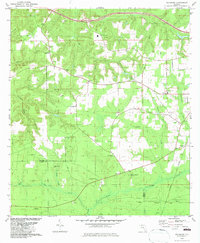 1982 Sycamore1983 Print · USGSGadsden and Liberty counties are shown here in the early eighties, a rural landscape shaped by old land grants and deep-seated family roots. Genealogists and local historians can trace legacy sites like Gause Cem, Sycamore Ch, and the historical Forbes Purchase Line.
 - 1988 Map of Tallahassee
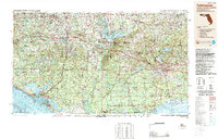 1988 Tallahassee1988 Print · USGSThe Florida Panhandle and South Georgia are captured here in the late eighties, showing the expansion of the regional highway network and coastal growth. Genealogists and historians can trace rail lines like the Seaboard System Railroad or locate family roots in Blountstown, Graceville, or Crawfordville.2 unique versions available
 - 1994 Map of Sycamore, 1998 Print
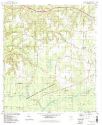 1994 Sycamore1998 Print · USGSGadsden County's rural landscape is mapped here in the late twentieth century, showing a network of small churches and family land lines. Genealogists can trace property markers like the Forbes Purchase Line or locate ancestral sites at Smith Cem and Gause Cem.2 unique versions available
 - 2012 Map of Sycamore, 2012 Print
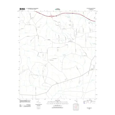 2012 Sycamore2012 Print · USGSGadsden County's rural landscape is captured here in the early twenty-first century, showing a network of creeks and family settlements. Researchers can trace local roots through sites like Smith Cem, Gause Cem, and the community of Sycamore.
 - 2015 Map of Sycamore, 2015 Print
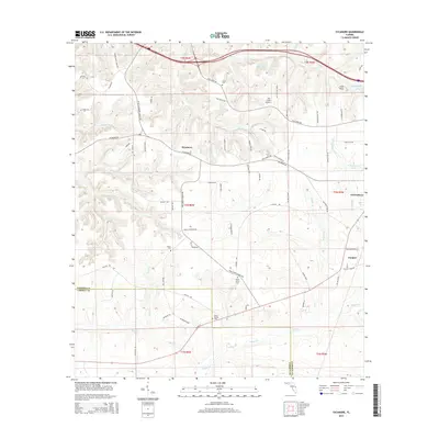 2015 Sycamore2015 Print · USGSGadsden County's piney woods and rural homesteads are captured here in the mid-2010s, centered on the settlement of Sycamore. Family history researchers can locate several rural burial grounds like Smith Cem and Pine Grove Cem or trace landmarks such as Pitts Point.
 - 2018 Map of Sycamore, 2018 Print
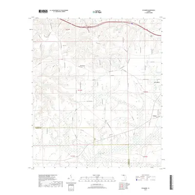 2018 Sycamore2018 Print · USGSThe rural landscapes of Gadsden and Liberty County come alive in this detailed study of the area around Sycamore and Greensboro. Genealogists and historians can trace family locations through landmarks like Smith Cem, Pitts Point, and Poley Branch Cem.
 - 2021 Map of Sycamore, 2021 Print
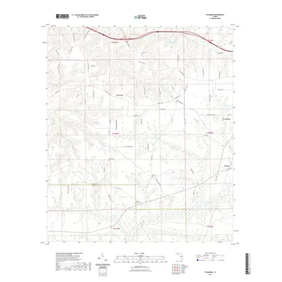 2021 Sycamore2021 Print · USGSThe rural border of Gadsden and Liberty counties is documented here in the early 2020s, showing a landscape defined by timberlands and creek branches. Genealogists can locate several family-named landmarks and burial sites, including Gause Cem, Poley Branch Cem, and Pitts Point.
 - 2024 Map of Sycamore, 2024 Print
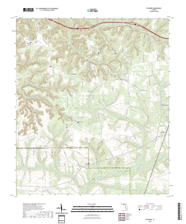 2024 Sycamore2024 Print · USGSGadsden and Liberty County rural life is documented here in the early twenty-first century, showing a landscape shaped by family estates and timber lands. Researchers can trace local heritage through numerous burial sites like Kelly Family Cem, Sycamore Cem, and Potter Hill Cem.
End of results
Showing maps 1-13 of 13
Top cities near Sycamore
- Quincy historical maps
- Chattahoochee historical maps
- Blountstown historical maps
- Sneads historical maps
- Gretna historical maps
- Bristol historical maps
See more
Frequently asked questions
- What are the different types of historical maps available for Sycamore?
- What is the oldest map of Sycamore?
- Where can I purchase historical maps of Sycamore for my home or office?
- Where can I download high-res historical maps of Sycamore?
- Are there historical topographic maps available for Sycamore?
- Is there historical aerial imagery available for Sycamore?
- Where are historical maps of Sycamore sourced from?