Old Maps of Van Dyke Estates, Northdale for Academic Research
Study the evolution of Van Dyke Estates with 22 high-resolution historic maps. Whether you're teaching, researching, or modeling changes in land use, these maps provide essential visual documentation of urban, environmental, and geographic change.
- Analyze long-term change: Track patterns in development, transportation, and natural features.
- Ideal for environmental or urban studies: Support academic projects with primary historical map data.
- Use in the classroom or lab: Educators and researchers rely on these maps to bring historical context to life.
These maps are a powerful tool for teaching, research, and visualizing how Van Dyke Estates has changed over the decades.
Van Dyke Estates, Northdale maps
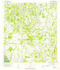
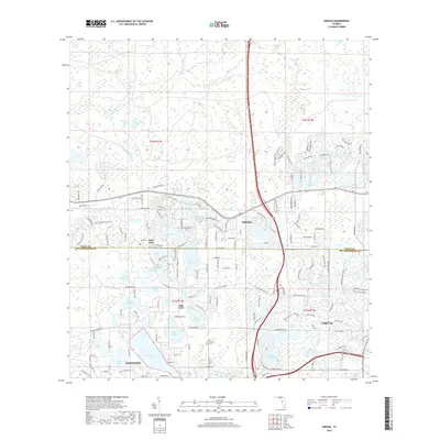
(22)- 1943 Map of Odessa, 1957 Print
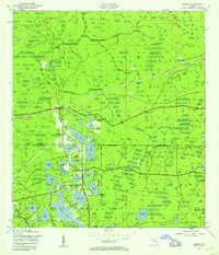 1943 Odessa1957 Print · USGSCoastal Florida pinelands and transit corridors emerge in this mid-century survey of the Pasco and Hillsborough county line. Trace the steam-era rail history through Odessa at the Atlantic Coast Line junction and explore the lakefronts of Keystone Lake and Camp Mawian.3 unique versions available
 - 1944 Map of Odessa
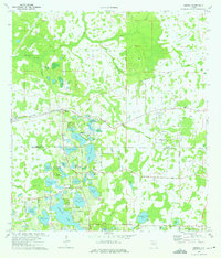
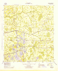 1944 Odessa1944 Print · USGSMid-century Pasco and Hillsborough counties are shown here as a landscape of citrus groves, rail lines, and cypress swamps. Genealogists and historians can trace the footprint of early communities at Odessa and Lake Fern, or find landmarks like the Lake Fern School and Camp Mawian YMCA.
 - 1947 Map of Citrus Park
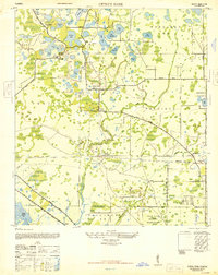 1947 Citrus Park1947 Print · USGSNorthwest of Tampa in the late Forties, this area reveals a landscape of citrus groves and cypress swamps transitioning into a military and utility hub. Genealogists and local historians can trace old settlements like Mullis City, find the Keystone Church, or locate the St Petersburg Water Supply facility.
 - 1949 Map of Odessa
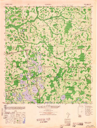 1949 Odessa1949 Print · USGSThe interior of the Florida Gulf Coast is shown here in the late 1940s, a landscape defined by citrus groves and sprawling lake networks. Genealogists and local historians can trace the early community hubs of Odessa and Lake Fern, including the Lake Fern School and the Atlantic Coast Line rail corridor.
 - 1955 Map of Plant City, 1966 Print
 1955 Plant City1966 Print · USGSMid-century Central Florida comes to life in this survey of the Nature Coast and the inland citrus and rail belt. Genealogists and historians can trace the paths of the Atlantic Coast Line, locate the Anclote Keys Lighthouse, or find old communities like Masaryktown and Lacoochee.6 unique versions available
 - 1956 Map of Citrus Park, 1957 Print
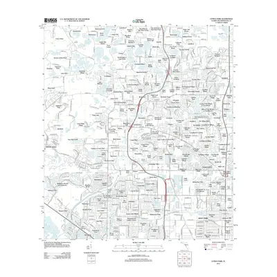
 1956 Citrus Park1957 Print · USGSHillsborough County in the mid-1950s was a landscape of citrus groves and scattered settlements connected by the Seaboard Air Line. Genealogists and historians can trace the early footprints of Citrus Park, Mullis City, and the rural community at Cosme.5 unique versions available
 - 1958 Map of Plant City
 1958 Plant City1958 Print · USGSFlorida's Gulf Coast and inland ridge country are captured here in the mid-fifties, showing the region before modern sprawl. Genealogists and historians can trace rail-era towns like Richland and Trilby or locate coastal landmarks such as the Anclote Keys Lighthouse.
 - 1959 Map of Plant City
 1959 Plant City1959 Print · USGSThe West Florida coast and inland timberlands are captured here in the late fifties, from the bend of the Gulf to the rail hubs of the interior. Trace the paths of the Atlantic Coast Line through Inverness and find landmarks like the Anclote Keys Lighthouse.
 - 1964 Map of Plant City
 1964 Plant City1964 Print · USGSThe West Florida coast and its interior rail corridors come alive in this mid-sixties survey, spanning from the gulf marshes to the agricultural heartland. Researchers can trace the routes of the Atlantic Coast Line through settlements like Bushnell, Inverness, and Plant City.
 - 1974 Map of Odessa, 1975 Print
 1974 Odessa1975 Print · USGSThe lake-dotted borderlands of Pasco and Hillsborough counties come into focus in the mid-1970s. Trace the rural development of Odessa and its surrounding waters, from Indian Mounds near Mound Lake to the grounds of Camp Keystone and the Odessa Ch.4 unique versions available
 - 1978 Map of Tarpon Springs, 1982 Print
 1978 Tarpon Springs1982 Print · USGSCoastal Florida is shown during its late-century period of rapid growth, from the Gulf shores to the deep inland swamps. Researchers can trace the development of the Intracoastal Waterway and locate regional landmarks like the Anclote Missile Tracking Annex and Lake Tarpon.
 - 1998 Map of Citrus Park, 2001 Print
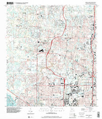 1998 Citrus Park2001 Print · USGSNorthwest Hillsborough County undergoes rapid suburban transformation in the late nineties, blending dense residential developments with a landscape of countless small lakes. Researchers can trace the growth of Town 'n' Country and Carrollwood Village or locate local landmarks like Broadly Airport and Mullis City.
 - 2012 Map of Odessa, 2012 Print
 2012 Odessa2012 Print · USGSCovers Van Dyke Estates, including Lutz, Keystone Reserve, and other nearby areas
 - 2012 Map of Citrus Park, 2012 Print
 2012 Citrus Park2012 Print · USGSCovers Van Dyke Estates, including Lutz, Rocky Ford, and other nearby areas
 - 2015 Map of Odessa, 2015 Print
 2015 Odessa2015 Print · USGSCovers Van Dyke Estates, including Lutz, Keystone Reserve, and other nearby areas
 - 2015 Map of Citrus Park, 2015 Print
 2015 Citrus Park2015 Print · USGSCovers Van Dyke Estates, including Lutz, Rocky Ford, and other nearby areas
 - 2018 Map of Odessa, 2018 Print
 2018 Odessa2018 Print · USGSCovers Van Dyke Estates, including Lutz, Keystone Reserve, and other nearby areas
 - 2018 Map of Citrus Park, 2018 Print
 2018 Citrus Park2018 Print · USGSCovers Van Dyke Estates, including Lutz, Rocky Ford, and other nearby areas
 - 2021 Map of Citrus Park, 2021 Print
 2021 Citrus Park2021 Print · USGSCovers Van Dyke Estates, including Lutz, Rocky Ford, and other nearby areas
 - 2021 Map of Odessa, 2021 Print
 2021 Odessa2021 Print · USGSCovers Van Dyke Estates, including Lutz, Keystone Reserve, and other nearby areas
 - 2024 Map of Citrus Park, 2024 Print
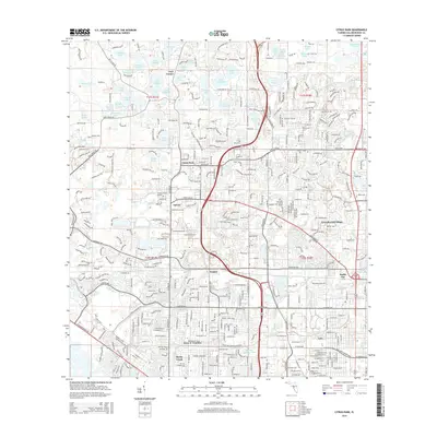
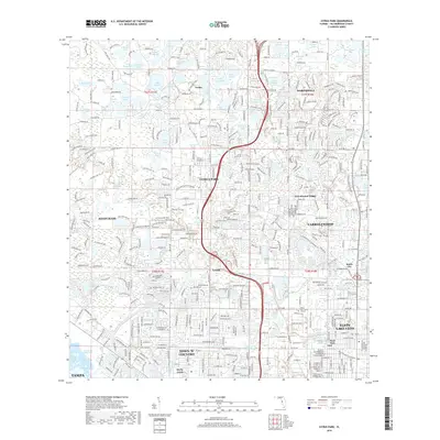
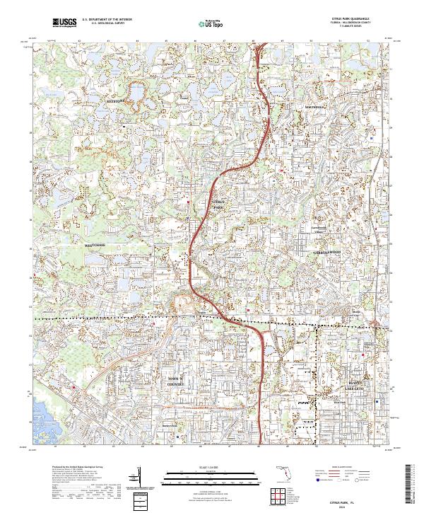 2024 Citrus Park2024 Print · USGSNorthwest Hillsborough County's lake-rich landscape is captured in the 2020s, showing the modern suburban evolution of Citrus Park and Town 'N' Country. Researchers can trace residential development around Lake Rogers or locate local landmarks like Mullis City and the Keystone United Methodist Church Cem.
 - 2024 Map of Odessa, 2024 Print
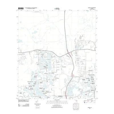
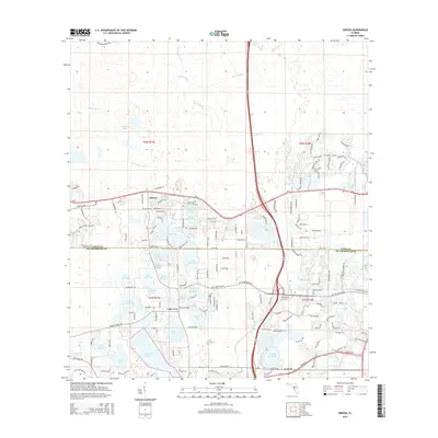
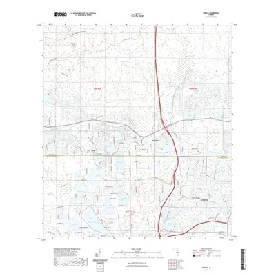
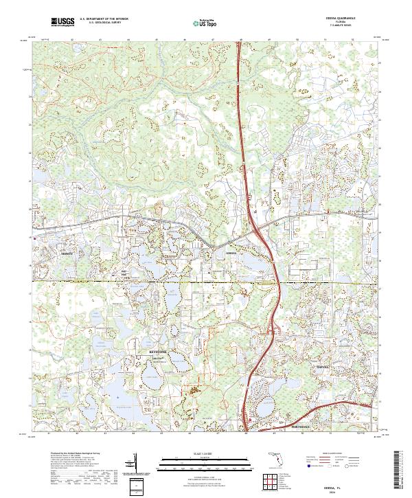 2024 Odessa2024 Print · USGSThe Pasco and Hillsborough borderlands are shown in detail as modern residential communities integrate with the region's many lakes. Local historians and genealogists can trace the development of Odessa, Keystone, and Gulf Pine alongside the Anclote River.
End of results
Showing maps 1-22 of 22
Frequently asked questions
- What are the different types of historical maps available for Van Dyke Estates?
- What is the oldest map of Van Dyke Estates?
- Where can I purchase historical maps of Van Dyke Estates for my home or office?
- Where can I download high-res historical maps of Van Dyke Estates?
- Are there historical topographic maps available for Van Dyke Estates?
- Is there historical aerial imagery available for Van Dyke Estates?
- Where are historical maps of Van Dyke Estates sourced from?