Old Maps of Monticello, Florida
Explore 16 old maps of Monticello, spanning from 1954 to today. These high-resolution historic maps reveal how streets, neighborhoods, landmarks, and natural features evolved over time — perfect for genealogy, metal detecting, research, and local history exploration.
What you can do with these maps:
- See how Monticello changed over time: Compare historical maps to modern-day views to trace roads, homesites, rail lines & more.
- View detailed metadata: Each map includes creators, publishers, year, scale, and archive source.
- Overlay maps with satellite & LiDAR: Visualize the past alongside modern tools to explore terrain & human change.
- Trusted historical sources: Maps sourced from the USGS, Library of Congress, and other archives.
- Access maps your way: View online, download high-res files, or order prints for personal or research use.
Start exploring old maps of Monticello to uncover forgotten places, hidden landmarks, and the deep history beneath your feet.
Monticello, FL maps
(16)- 1954 Map of Valdosta, 1967 Print
 1954 Valdosta1967 Print · USGSThe South Georgia and North Florida borderlands are captured here in the mid-fifties, showing the deep timber and wetland networks of the coastal plain. Researchers can trace the path of the Atlantic Coast Line through Valdosta or explore the interior of the Okefenokee Swamp.2 unique versions available
 - 1958 Map of Valdosta
 1958 Valdosta1958 Print · USGSSouth Georgia and North Florida are captured here in the mid-fifties, showing the vast Okefenokee Swamp and the vital timber and rail corridors connecting the two states. Researchers can locate the footprint of Moody Air Force Base, trace the Live Oak Perry and Gulf railroad, or find early community sites like Bakers Mill and Paradise Church.
 - 1959 Map of Valdosta
 1959 Valdosta1959 Print · USGSThe Georgia-Florida borderlands in the mid-fifties reveal a landscape of massive blackwater swamps and emerging military aviation hubs. Genealogists and historians can trace rail-stop towns like Fargo and Stockton or explore the interior reaches of the Okefenokee Swamp and Billys Island.
 - 1963 Map of Lake Miccosukee, 1964 Print
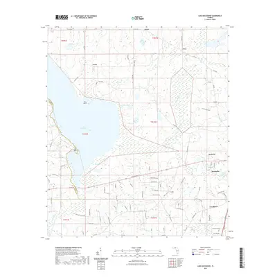
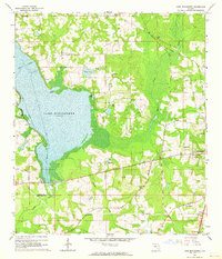 1963 Lake Miccosukee1964 Print · USGSJefferson County in the early 1960s reveals a landscape of lakeside settlements and evolving rail corridors. Genealogists and local historians can trace family-named sites like Casa Blanco, Montivilla, and rural congregations at Macedonia Ch or Juniors Hill Ch.2 unique versions available
 - 1963 Map of Monticello, 1964 Print
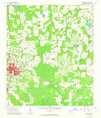 1963 Monticello1964 Print · USGSMonticello and its surrounding Florida countryside are captured here in the early sixties, a period of established rail connections and rural growth. Genealogists can trace family footprints at Howard Academy, Philadelphia Ch, and several local burial sites like Roseland Cem.2 unique versions available
 - 1981 Map of Valdosta
 1981 Valdosta1981 Print · USGSCrossing the Georgia and Florida border in the early eighties, this survey captures the agricultural and military landscape of the coastal plain. Genealogists and historians can trace the rail-linked growth of Valdosta and Quitman or find rural landmarks like New Hope Church and Lake Miccosukee.
 - 2012 Map of Lake Miccosukee, 2012 Print
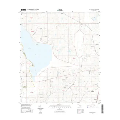
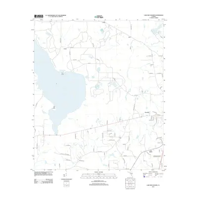 2012 Lake Miccosukee2012 Print · USGSCovers Monticello, including Lois, Montivilla, and other nearby areas
 - 2012 Map of Monticello, 2012 Print
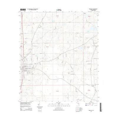
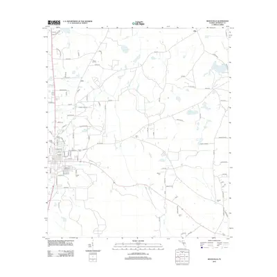 2012 Monticello2012 Print · USGSCovers Monticello, including Dills, Jefferson County, and other nearby areas
 - 2015 Map of Monticello, 2015 Print
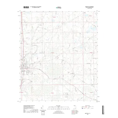
 2015 Monticello2015 Print · USGSCovers Monticello, including Dills, Jefferson County, and other nearby areas
 - 2015 Map of Lake Miccosukee, 2015 Print
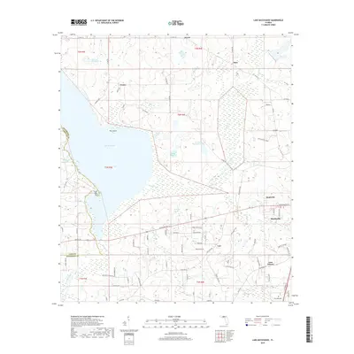
 2015 Lake Miccosukee2015 Print · USGSCovers Monticello, including Lois, Montivilla, and other nearby areas
 - 2018 Map of Lake Miccosukee, 2018 Print
 2018 Lake Miccosukee2018 Print · USGSCovers Monticello, including Lois, Montivilla, and other nearby areas
 - 2018 Map of Monticello, 2018 Print
 2018 Monticello2018 Print · USGSCovers Monticello, including Dills, Jefferson County, and other nearby areas
 - 2021 Map of Lake Miccosukee, 2021 Print
 2021 Lake Miccosukee2021 Print · USGSCovers Monticello, including Lois, Montivilla, and other nearby areas
 - 2021 Map of Monticello, 2021 Print
 2021 Monticello2021 Print · USGSCovers Monticello, including Dills, Jefferson County, and other nearby areas
 - 2024 Map of Monticello, 2024 Print
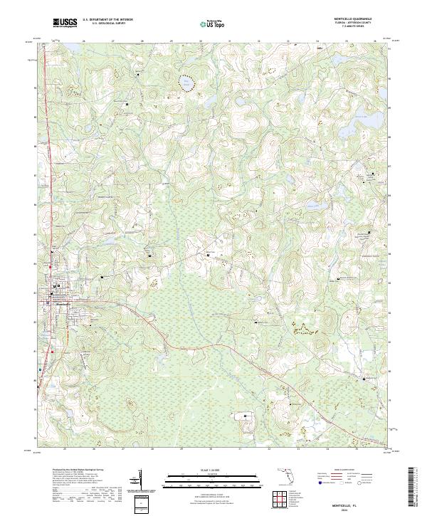 2024 Monticello2024 Print · USGSMonticello and its surrounding North Florida farmstead country are captured here in the early twenty-first century. Family historians can trace numerous rural burial sites and congregations, from the Reichert Family Cem to the New Bethel A M E Church and the Jefferson County Courthouse.
 - 2024 Map of Lake Miccosukee, 2024 Print
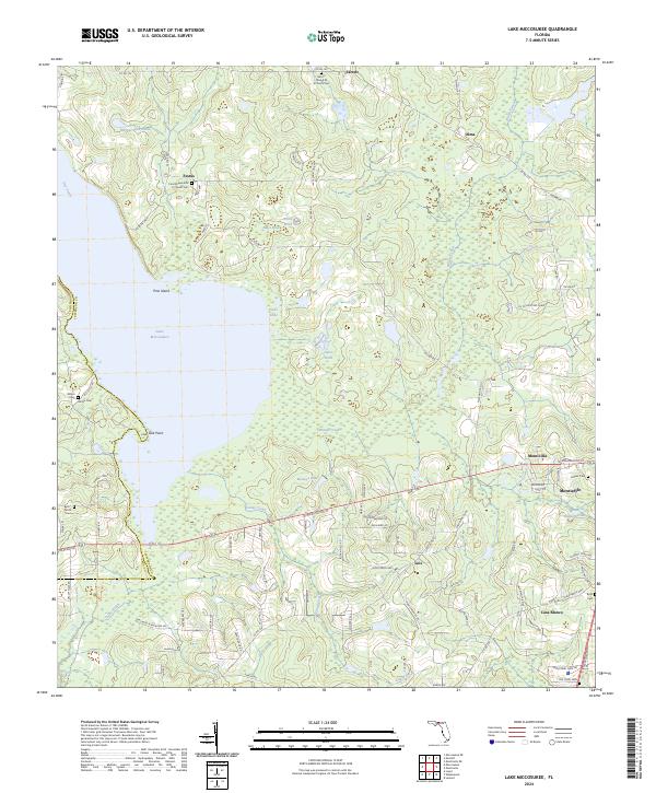 2024 Lake Miccosukee2024 Print · USGSJefferson County's wetland landscape is captured here, centered on the significant waters of Lake Miccosukee. Researchers can find and trace rural legacy sites like the Mount Olive A M E Church and family-named landmarks such as Alston Cem and Byrd Parish Cem.
End of results
Showing maps 1-16 of 16
Top cities near Monticello
Frequently asked questions
- What are the different types of historical maps available for Monticello?
- What is the oldest map of Monticello?
- Where can I purchase historical maps of Monticello for my home or office?
- Where can I download high-res historical maps of Monticello?
- Are there historical topographic maps available for Monticello?
- Is there historical aerial imagery available for Monticello?
- Where are historical maps of Monticello sourced from?