
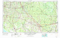
1954 Map of Valdosta
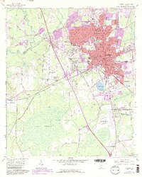
USGS Topo · Published 1967About this map
The Okefenokee Swamp dominates the eastern landscape of this South Georgia and North Florida border region, showing a complex interior of islands like Honey Island and Blackjack Island. To the west, the city of Valdosta serves as a major hub for the Georgia Southern and Florida and Atlantic Coast Line railroads. The map documents the extensive river systems that define the Gulf drainage, including the winding Suwannee River and the Withlacoochee River.
Find a feature on this map
74 named features on this map. Tap any name to fly to it.
Don’t see what you’re looking for? This feature index may not catch every label — zoom into the map to look around manually.
Map Details
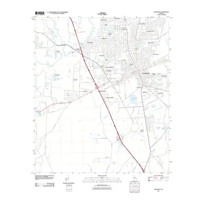
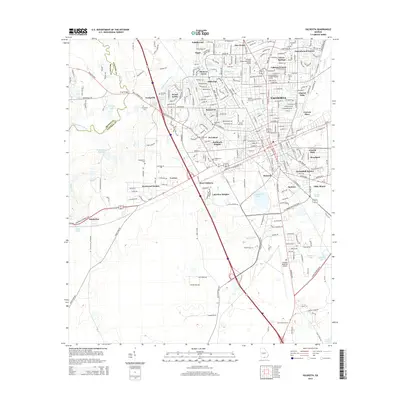
Editions of this 1954 Valdosta Map
2 editions found
Historical Maps of Jacksonville Through Time
10 maps found
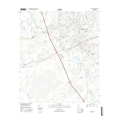
1954 Valdosta
Lowndes County, GA

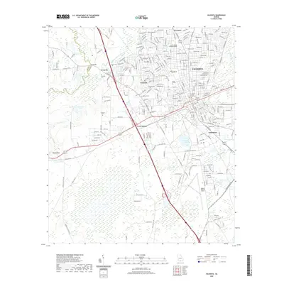
1958 Valdosta
Lowndes County, GA

1959 Valdosta
Lowndes County, GA
1961 Valdosta
Lowndes County, GA

1981 Valdosta
Lowndes County, GA
2011 Valdosta
Lowndes County, GA
2014 Valdosta
Lowndes County, GA
2017 Valdosta
Lowndes County, GA
2020 Valdosta
Lowndes County, GA
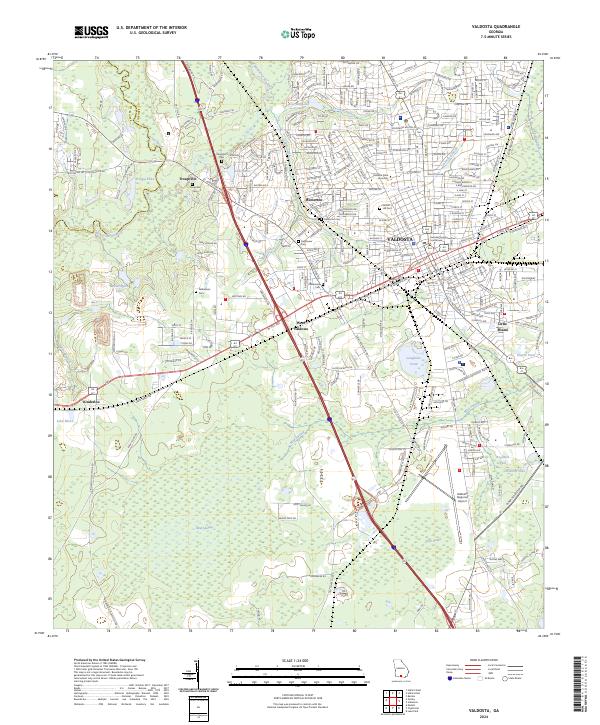
2024 Valdosta
Lowndes County, GA