
1918 Map of Folkston
USGS Topo · Published 1918About this map
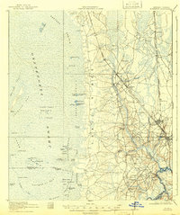
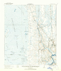
Trail Ridge forms a distinct topographical spine through this 1918 survey, separating the dense settlements and rail corridors to the east from the sprawling wet prairies of the Okeefenokee Swamp to the west. The Atlantic Coast Line railroad dictates the development pattern of Charlton County, anchoring the towns of Folkston and Homeland and providing transit for agricultural sidings like Burch Siding. The landscape is a study in contrasts, where the high ground supports community hubs such as Bethel Church and Sardis School, while the swamp interior is marked by an intricate network of named prairies and isolated landmarks like Indian Island and the Mizell Canal. In the southeast, Traders Hill stands near the winding St Marys River, which serves as the boundary between Georgia and Florida, illustrating the historical significance of this riverine trade and transport corridor.
Find a feature on this map
67 named features on this map. Tap any name to fly to it.
Don’t see what you’re looking for? This feature index may not catch every label — zoom into the map to look around manually.
Map Details
Editions of this 1918 Folkston Map
3 editions found
Other maps of this area

1917 · Nahunta
USGS Topo · 1:62,500

1917 · Boulogne
USGS Topo · 1:62,500

1917 · Hilliard
USGS Topo · 1:62,500

1918 · Moniac
USGS Topo · 1:62,500

1918 · Nahunta
USGS Topo · 1:62,500

1919 · Hilliard
USGS Topo · 1:62,500

1919 · Boulogne
USGS Topo · 1:62,500

1942 · Moniac
USGS Topo · 1:62,500

1946 · Brunswick
USGS Topo · 1:250,000

1948 · Jacksonville
USGS Topo · 1:250,000