
1919 Map of Hilliard
USGS Topo · Published 1919About this map
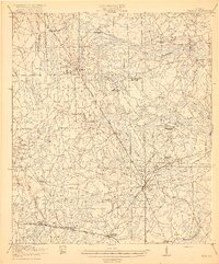
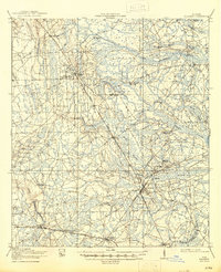
Hilliard and Callahan serve as the primary rail hubs for this Nassau County landscape during the late 1910s, where three major lines intersect to transport timber and passengers. The Atlantic Coast Line, Seaboard Air Line, and Southern Ry create a triangular rail network that anchors small settlements like Dyal, Crawford, and Kent. The terrain is defined by an extensive system of wetlands, including Wilder Swamp and Boggy Swamp, which fed the regional timber economy evidenced by Hodges Mill and Nelsons Mill.
Find a feature on this map
36 named features on this map. Tap any name to fly to it.
Don’t see what you’re looking for? This feature index may not catch every label — zoom into the map to look around manually.
Map Details
Editions of this 1919 Hilliard Map
3 editions found
Other maps of this area

1917 · Cambon
USGS Topo · 1:62,500

1917 · Boulogne
USGS Topo · 1:62,500

1917 · Macclenny
USGS Topo · 1:62,500

1917 · Hilliard
USGS Topo · 1:62,500

1918 · St Marys
USGS Topo · 1:62,500

1918 · Folkston
USGS Topo · 1:62,500

1918 · Moniac
USGS Topo · 1:62,500

1918 · Cambon
USGS Topo · 1:62,500

1918 · Jacksonville
USGS Topo · 1:62,500

1918 · Kingsland
USGS Topo · 1:62,500