
1918 Map of Cambon
USGS Topo · Published 1918About this map
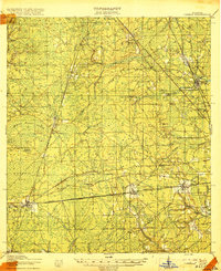
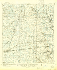
The junction of major Florida transportation corridors defines this landscape just west of Jacksonville. Baldwin emerges as a critical rail hub, where the Seaboard Air Line Railway, Southern Railway, and Atlantic Coast Line Railroad converge, supporting the timber and naval stores industries of the early twentieth century. These industrial tracks, including specialized lines like the Nassau Industrial Railroad and the Heber Tramroad, cut through the low-lying reaches of Brandy Branch Swamp and Baldwin Bay. Scattered across the pine flatwoods are small community anchors such as St Marys School and Caleb Church, alongside settlements like Bryceville and Whitehouse that grew along the early National Road. The mapping reveals a transitional economy where formal railway towns exist alongside traditional rural landmarks like the Higginbotham School, illustrating the region's development before modern suburban expansion.
Find a feature on this map
49 named features on this map. Tap any name to fly to it.
Don’t see what you’re looking for? This feature index may not catch every label — zoom into the map to look around manually.
Map Details
Editions of this 1918 Cambon Map
3 editions found
Other maps of this area

1917 · Orange Park
USGS Topo · 1:62,500

1917 · Cambon
USGS Topo · 1:62,500

1917 · Macclenny
USGS Topo · 1:62,500

1917 · Hilliard
USGS Topo · 1:62,500

1918 · St Marys
USGS Topo · 1:62,500

1918 · Middleburg
USGS Topo · 1:62,500

1918 · Moniac
USGS Topo · 1:62,500

1918 · Lawtey
USGS Topo · 1:62,500

1918 · Jacksonville
USGS Topo · 1:62,500

1918 · Orange Park
USGS Topo · 1:62,500