
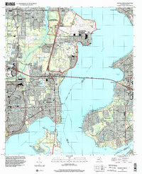
1917 Map of Orange Park
USGS Topo · Published 1957About this map
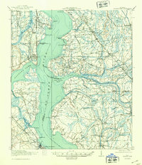
The St. Johns River dominates this 1917 survey, serving as a massive thoroughfare between Duval, Clay, and St. Johns counties. At this time, the river-based economy is evident through features like Neals Dock and the numerous named points and bluffs, such as Beauclerc Bluff and Magnolia Pt, that defined the era's navigation. On the western shore, the Atlantic Coast Line Railroad links the town of Orange Park to the riverside resort atmosphere of Green Cove Springs. Inland, the landscape is a network of small agricultural and rural settlements like Loretto and Switzerland. The map meticulously records early 20th-century social infrastructure, including the Deep Bottom School and Bethel Church, alongside ancient travel routes like the Old Kings Road and St. Augustine Road which predate the modern highway system.
Find a feature on this map
84 named features on this map. Tap any name to fly to it.
Don’t see what you’re looking for? This feature index may not catch every label — zoom into the map to look around manually.
Map Details
Editions of this 1917 Orange Park Map
This is the sole edition of this map. No revisions or reprints were ever made.
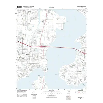
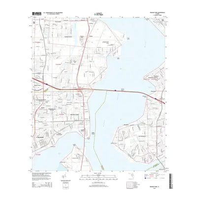
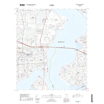
Historical Maps of Jacksonville Through Time
11 maps found
1917 Orange Park
Clay County, FL
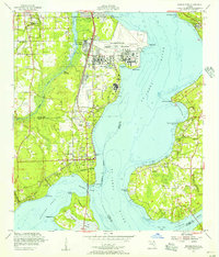
1918 Orange Park
Clay County, FL
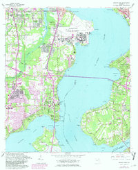
1952 Orange Park
Clay County, FL
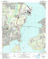
1964 Orange Park
Clay County, FL
1993 Orange Park
Clay County, FL
1994 Orange Park
Clay County, FL
2012 Orange Park
Clay County, FL
2015 Orange Park
Clay County, FL
2018 Orange Park
Clay County, FL
2021 Orange Park
Clay County, FL
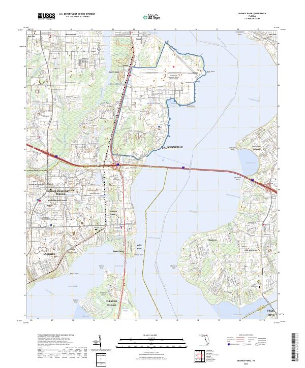
2024 Orange Park
Clay County, FL