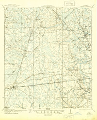
1918 Map of Cambon
USGS Topo · Published 1944About this map
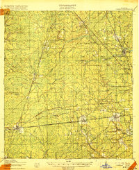
The rail junctions of Baldwin and Whitehouse dominate the southern half of this 1917 survey, where the Seaboard Air Line and Atlantic Coast Line railroads intersect the National Road. The landscape is defined by vast pine flats and wetlands like the Brandy Branch Swamp and Baldwin Bay, illustrating the timber and turpentine character of western Duval County during this period. Small settlements and rural community hubs are scattered across the terrain, including Bryceville, Dinsmore, and Marietta.
Find a feature on this map
49 named features on this map. Tap any name to fly to it.
Don’t see what you’re looking for? This feature index may not catch every label — zoom into the map to look around manually.
Map Details
Editions of this 1918 Cambon Map
3 editions found
Other maps of this area

1917 · Orange Park
USGS Topo · 1:62,500

1917 · Cambon
USGS Topo · 1:62,500

1917 · Macclenny
USGS Topo · 1:62,500

1917 · Hilliard
USGS Topo · 1:62,500

1918 · St Marys
USGS Topo · 1:62,500

1918 · Middleburg
USGS Topo · 1:62,500

1918 · Moniac
USGS Topo · 1:62,500

1918 · Lawtey
USGS Topo · 1:62,500

1918 · Cambon
USGS Topo · 1:62,500

1918 · Jacksonville
USGS Topo · 1:62,500