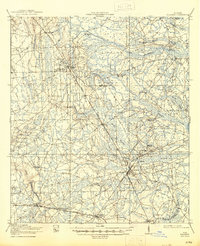
1917 Map of Hilliard
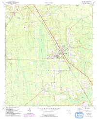
USGS Topo · Published 1967About this map
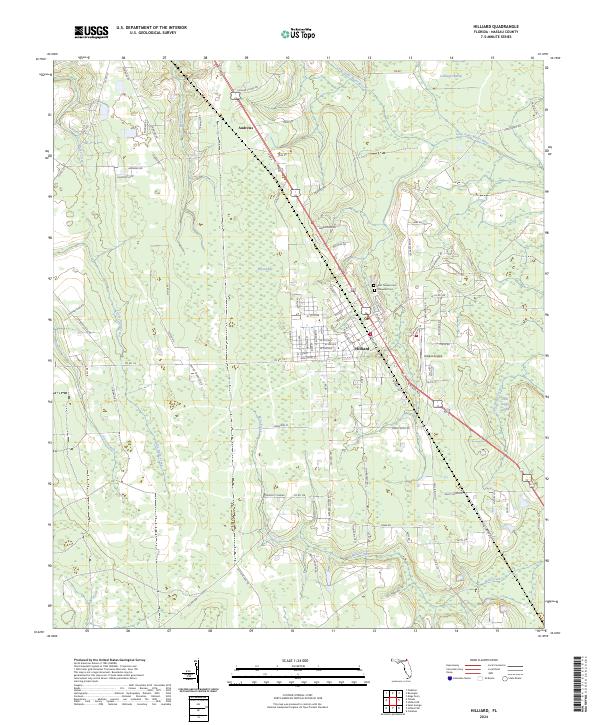
Settlement in northern Nassau County during the early twentieth century followed a pattern dictated by the intersection of railroads and vast wetland systems. The Atlantic Coast Line and Seaboard Air Line railroads anchor the primary towns of Hilliard and Callahan, serving as the economic lifelines for the region's timber and turpentine industries. Outlying areas like Dyal and Cummings Camp reflect the transient nature of logging operations, while local education is represented by scattered rural institutions such as Romulus School and Boggy Swamp School.
Find a feature on this map
43 named features on this map. Tap any name to fly to it.
Don’t see what you’re looking for? This feature index may not catch every label — zoom into the map to look around manually.
Map Details
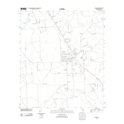
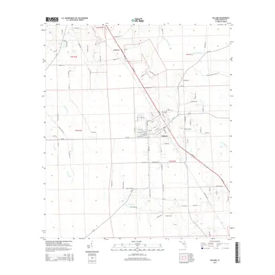
Editions of this 1917 Hilliard Map
This is the sole edition of this map. No revisions or reprints were ever made.
Historical Maps of Jacksonville Through Time
8 maps found