Old Maps of Eustis, Lake County for Hiking & Exploration
Hike through history with 23 historic maps of Eustis. Explore old trails, ghost towns, and forgotten backroads — perfect for outdoor adventurers and local explorers.
- Rediscover forgotten places: Map out old mining camps, roads, and footpaths that no longer exist on modern maps.
- Layer with modern tools: Combine with LiDAR or satellite views to plan hikes through historical terrain.
- Made for exploration: Popular among hikers, overlanders, and local history lovers.
Use these maps to find adventure and explore the hidden past of Eustis.
Eustis, Lake County maps
(23)- 1955 Map of Orlando, 1969 Print
 1955 Orlando1969 Print · USGSCentral Florida was entering the space age in the mid-fifties, balancing its citrus heritage with new military and aerospace frontiers. You can trace early developments at Kennedy Space Center or locate interior settlements like Eatonville and Pine Castle.3 unique versions available
 - 1957 Map of Orlando
 1957 Orlando1957 Print · USGSCovers Eustis, including Orlando, Palm Bay, and other nearby areas
 - 1958 Map of Orlando
 1958 Orlando1958 Print · USGSCentral Florida was a landscape of citrus, rail, and emerging aerospace technology during the late fifties. Researchers can trace the early footprints of Cape Canaveral and Patrick Air Force Base or locate inland citrus and rail hubs like Sanford and Lakeland.
 - 1962 Map of Orlando
 1962 Orlando1962 Print · USGSCentral Florida was transformed by aerospace and citrus at the start of the sixties. Genealogists and historians can trace old community footprints from Eau Gallie to Leesburg, alongside landmarks like McCoy AFB and the winding Econlockhatchee River.
 - 1965 Map of Leesburg East
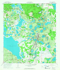
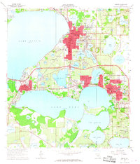
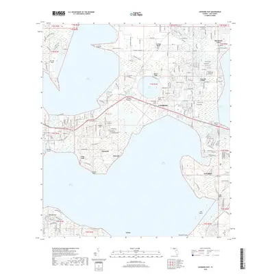
 1965 Leesburg East1965 Print · USGSThe mid-sixties lakefront of central Florida comes alive here, showing the growth of Leesburg and its surrounding waterways. Researchers can trace historic local sites like Haines Creek Ch, Tavares Cem, and the old citrus lands near Tomato Hill.3 unique versions available
 - 1965 Map of Umatilla, 1967 Print
 1965 Umatilla1967 Print · USGSLake County's watery landscape is revealed in the mid-sixties, where the citrus and rail economy of Umatilla meets the Ocala National Forest. Genealogists and local historians can trace family plots at Umatilla Cem or follow the Atlantic Coast Line tracks to Altoona.5 unique versions available
 - 1966 Map of Eustis, 1968 Print
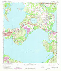
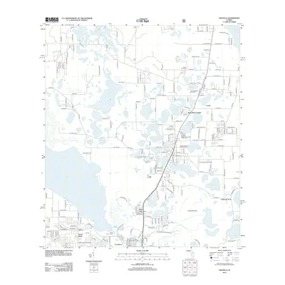
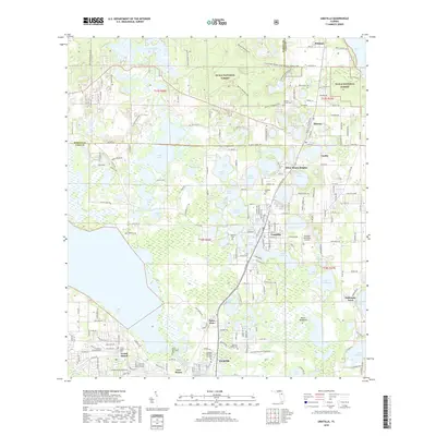
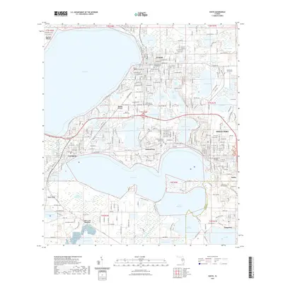
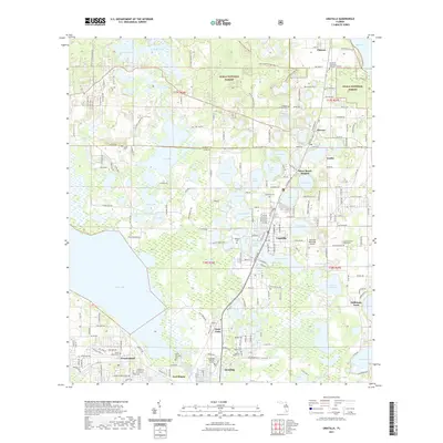
 1966 Eustis1968 Print · USGSLake County's waterfront communities thrive in the mid-sixties, dominated by a vast network of interconnected lakes and the citrus economy. Genealogists and local historians can trace family sites near Eustis and Mount Dora, or locate the Milner-Rosenwald Academy and Greenwood Cemetery.3 unique versions available
 - 1979 Map of Orlando, 1980 Print
 1979 Orlando1980 Print · USGSCentral Florida's lake country and growing urban corridors are captured here just before the decade's end. Genealogists and historians can trace the transition from citrus rail towns like Winter Garden to the suburban expansion along I-4 and Florida's Turnpike.3 unique versions available
 - 2012 Map of Eustis, 2012 Print
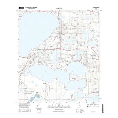
 2012 Eustis2012 Print · USGSCovers Eustis, including Tavares, Mount Dora, and other nearby areas
 - 2012 Map of Leesburg East, 2012 Print
 2012 Leesburg East2012 Print · USGSCovers Eustis, including Silver Lake, Lisbon, and other nearby areas
 - 2012 Map of Umatilla, 2012 Print
 2012 Umatilla2012 Print · USGSCovers Eustis, including Umatilla, Altoona, and other nearby areas
 - 2015 Map of Umatilla, 2015 Print
 2015 Umatilla2015 Print · USGSCovers Eustis, including Umatilla, Altoona, and other nearby areas
 - 2015 Map of Eustis, 2015 Print
 2015 Eustis2015 Print · USGSCovers Eustis, including Tavares, Mount Dora, and other nearby areas
 - 2015 Map of Leesburg East, 2015 Print
 2015 Leesburg East2015 Print · USGSCovers Eustis, including Silver Lake, Lisbon, and other nearby areas
 - 2018 Map of Eustis, 2018 Print
 2018 Eustis2018 Print · USGSCovers Eustis, including Tavares, Mount Dora, and other nearby areas
 - 2018 Map of Umatilla, 2018 Print
 2018 Umatilla2018 Print · USGSCovers Eustis, including Umatilla, Altoona, and other nearby areas
 - 2018 Map of Leesburg East, 2018 Print
 2018 Leesburg East2018 Print · USGSCovers Eustis, including Silver Lake, Lisbon, and other nearby areas
 - 2021 Map of Eustis, 2021 Print
 2021 Eustis2021 Print · USGSCovers Eustis, including Tavares, Mount Dora, and other nearby areas
 - 2021 Map of Umatilla, 2021 Print
 2021 Umatilla2021 Print · USGSCovers Eustis, including Umatilla, Altoona, and other nearby areas
 - 2021 Map of Leesburg East, 2021 Print
 2021 Leesburg East2021 Print · USGSCovers Eustis, including Silver Lake, Lisbon, and other nearby areas
 - 2024 Map of Eustis, 2024 Print
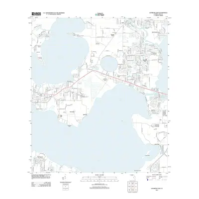
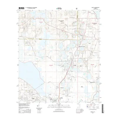
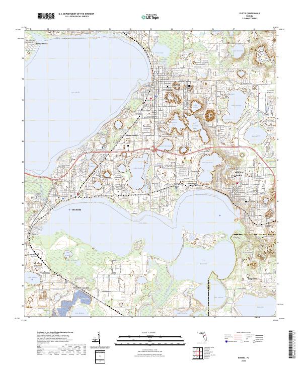 2024 Eustis2024 Print · USGSThe central Florida lake district is shown here in its modern configuration, centered on the interconnected waters of Lake Eustis and Lake Dora. Genealogists and local historians can trace the foundations of Eustis and Tavares through landmarks like the Lake County Courthouse and Mount Olive Cem.
 - 2024 Map of Umatilla, 2024 Print
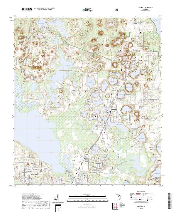 2024 Umatilla2024 Print · USGSThe Lake County landscape of the 2020s remains a mosaic of citrus groves, national forest, and dozens of named lakes. Researchers can trace family sites and local history at the Umatilla Cem, Altoona, and the historic Fort Mason area.
 - 2024 Map of Leesburg East, 2024 Print
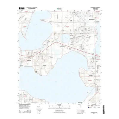
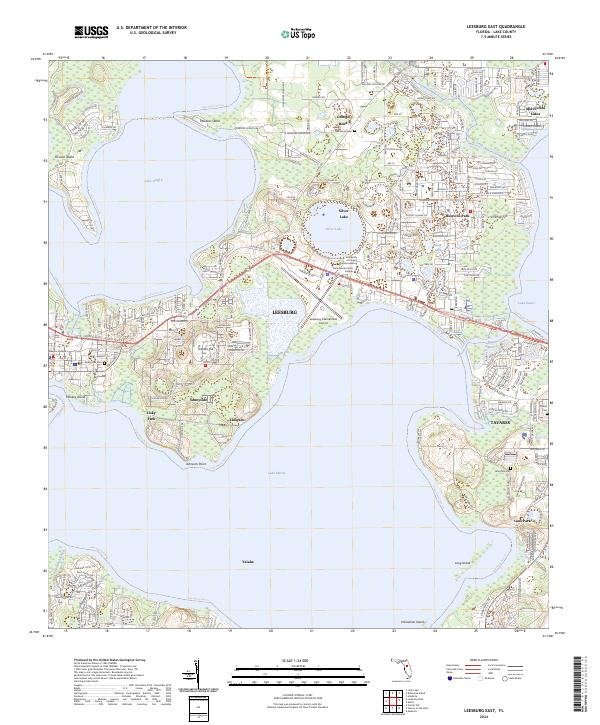 2024 Leesburg East2024 Print · USGSThe Lake County interior is seen here in the mid-2020s, showing a landscape defined by the convergence of major water bodies and growing town centers. Researchers can trace the development of Leesburg and Tavares alongside local landmarks like Tomato Hill and the Leesburg International Airport.
End of results
Showing maps 1-23 of 23
Frequently asked questions
- What are the different types of historical maps available for Eustis?
- What is the oldest map of Eustis?
- Where can I purchase historical maps of Eustis for my home or office?
- Where can I download high-res historical maps of Eustis?
- Are there historical topographic maps available for Eustis?
- Is there historical aerial imagery available for Eustis?
- Where are historical maps of Eustis sourced from?