Old Maps of Tavares, Lake County for Metal Detecting
Plan your next treasure hunt with 29 historic maps of Tavares. Find old homesites, ghost towns, trails, and gathering spots that may be lost to time — perfect for identifying promising metal detecting locations.
- Locate forgotten sites: Uncover places like long-lost settlements, abandoned rail lines, or gathering spots.
- Plan better hunts: Use map overlays combined with LiDAR or satellite views to narrow in on historically rich areas.
- Made for detectorists: Thousands of hobbyists use these maps to discover relics, coins, and hidden history.
Use these historic maps to boost your research and find new opportunities beneath the surface of Tavares.
Tavares, Lake County maps
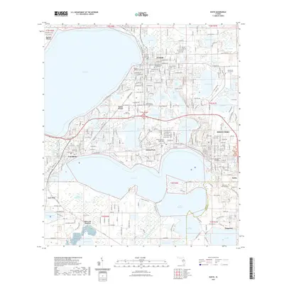
(29)- 1955 Map of Orlando, 1969 Print
 1955 Orlando1969 Print · USGSCentral Florida was entering the space age in the mid-fifties, balancing its citrus heritage with new military and aerospace frontiers. You can trace early developments at Kennedy Space Center or locate interior settlements like Eatonville and Pine Castle.3 unique versions available
 - 1957 Map of Orlando
 1957 Orlando1957 Print · USGSCovers Tavares, including Orlando, Palm Bay, and other nearby areas
 - 1958 Map of Orlando
 1958 Orlando1958 Print · USGSCentral Florida was a landscape of citrus, rail, and emerging aerospace technology during the late fifties. Researchers can trace the early footprints of Cape Canaveral and Patrick Air Force Base or locate inland citrus and rail hubs like Sanford and Lakeland.
 - 1962 Map of Orlando
 1962 Orlando1962 Print · USGSCentral Florida was transformed by aerospace and citrus at the start of the sixties. Genealogists and historians can trace old community footprints from Eau Gallie to Leesburg, alongside landmarks like McCoy AFB and the winding Econlockhatchee River.
 - 1962 Map of Astatula, 1964 Print
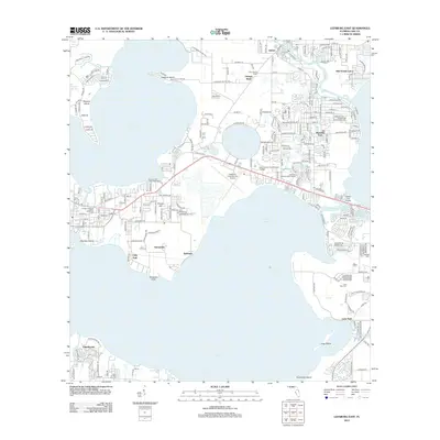
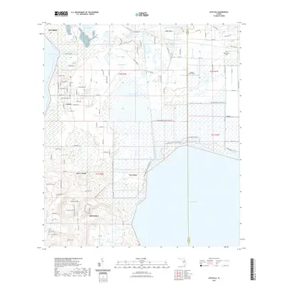
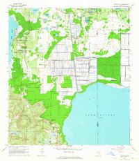 1962 Astatula1964 Print · USGSThe Lake County citrus country is captured here in the early sixties, showing the transition from agricultural groves to early residential pockets. Researchers can trace the Seaboard Air Line rail route and locate local landmarks like Sugarloaf Mountain and the Lake Apopka Lock and Dam.4 unique versions available
 - 1965 Map of Leesburg East
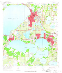
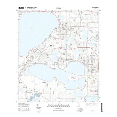
 1965 Leesburg East1965 Print · USGSThe mid-sixties lakefront of central Florida comes alive here, showing the growth of Leesburg and its surrounding waterways. Researchers can trace historic local sites like Haines Creek Ch, Tavares Cem, and the old citrus lands near Tomato Hill.3 unique versions available
 - 1966 Map of Eustis, 1968 Print
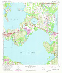
 1966 Eustis1968 Print · USGSLake County's waterfront communities thrive in the mid-sixties, dominated by a vast network of interconnected lakes and the citrus economy. Genealogists and local historians can trace family sites near Eustis and Mount Dora, or locate the Milner-Rosenwald Academy and Greenwood Cemetery.3 unique versions available
 - 1969 Map of Howey In The Hills, 1971 Print
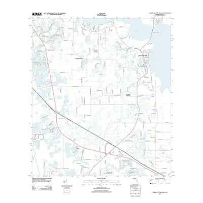
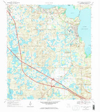 1969 Howey In The Hills1971 Print · USGSLake County at the end of the 1960s showcases a transition between traditional agriculture and modern infrastructure. You can trace the local landscape through landmarks like Howey Academy, Taylor Memorial Cem, and the Seaboard Coast Line railroad.2 unique versions available
 - 1979 Map of Orlando, 1980 Print
 1979 Orlando1980 Print · USGSCentral Florida's lake country and growing urban corridors are captured here just before the decade's end. Genealogists and historians can trace the transition from citrus rail towns like Winter Garden to the suburban expansion along I-4 and Florida's Turnpike.3 unique versions available
 - 2012 Map of Eustis, 2012 Print
 2012 Eustis2012 Print · USGSCovers Tavares, including Eustis, Mount Dora, and other nearby areas
 - 2012 Map of Leesburg East, 2012 Print
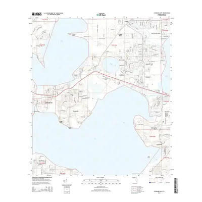
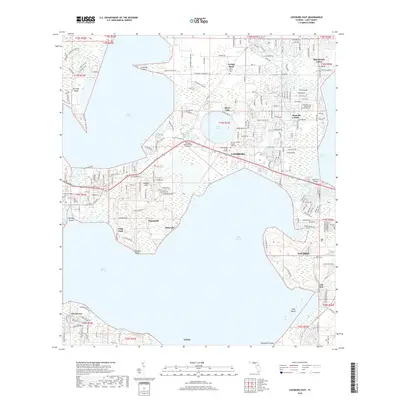
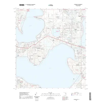
 2012 Leesburg East2012 Print · USGSCovers Tavares, including Silver Lake, Lisbon, and other nearby areas
 - 2012 Map of Astatula, 2012 Print
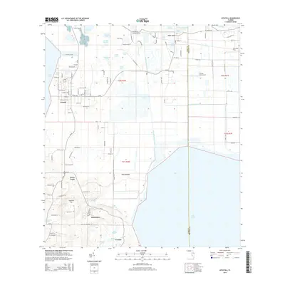
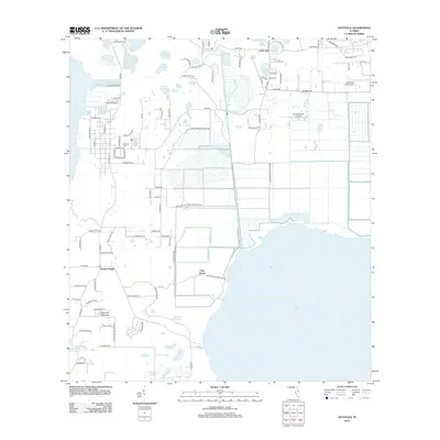 2012 Astatula2012 Print · USGSCovers Tavares, including Minneola, Astatula, and other nearby areas
 - 2012 Map of Howey-in-the-Hills, 2012 Print
 2012 Howey-in-the-Hills2012 Print · USGSCovers Tavares, including Groveland, Mascotte, and other nearby areas
 - 2015 Map of Eustis, 2015 Print
 2015 Eustis2015 Print · USGSCovers Tavares, including Eustis, Mount Dora, and other nearby areas
 - 2015 Map of Howey-in-the-Hills, 2015 Print
 2015 Howey-in-the-Hills2015 Print · USGSCovers Tavares, including Groveland, Mascotte, and other nearby areas
 - 2015 Map of Leesburg East, 2015 Print
 2015 Leesburg East2015 Print · USGSCovers Tavares, including Silver Lake, Lisbon, and other nearby areas
 - 2015 Map of Astatula, 2015 Print
 2015 Astatula2015 Print · USGSCovers Tavares, including Minneola, Astatula, and other nearby areas
 - 2018 Map of Eustis, 2018 Print
 2018 Eustis2018 Print · USGSCovers Tavares, including Eustis, Mount Dora, and other nearby areas
 - 2018 Map of Astatula, 2018 Print
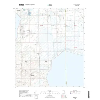 2018 Astatula2018 Print · USGSCovers Tavares, including Minneola, Astatula, and other nearby areas
 - 2018 Map of Howey-in-the-Hills, 2018 Print
 2018 Howey-in-the-Hills2018 Print · USGSCovers Tavares, including Groveland, Mascotte, and other nearby areas
 - 2018 Map of Leesburg East, 2018 Print
 2018 Leesburg East2018 Print · USGSCovers Tavares, including Silver Lake, Lisbon, and other nearby areas
 - 2021 Map of Eustis, 2021 Print
 2021 Eustis2021 Print · USGSCovers Tavares, including Eustis, Mount Dora, and other nearby areas
 - 2021 Map of Astatula, 2021 Print
 2021 Astatula2021 Print · USGSCovers Tavares, including Minneola, Astatula, and other nearby areas
 - 2021 Map of Howey-in-the-Hills, 2021 Print
 2021 Howey-in-the-Hills2021 Print · USGSCovers Tavares, including Groveland, Mascotte, and other nearby areas
 - 2021 Map of Leesburg East, 2021 Print
 2021 Leesburg East2021 Print · USGSCovers Tavares, including Silver Lake, Lisbon, and other nearby areas
Showing maps 1-25 of 29
Frequently asked questions
- What are the different types of historical maps available for Tavares?
- What is the oldest map of Tavares?
- Where can I purchase historical maps of Tavares for my home or office?
- Where can I download high-res historical maps of Tavares?
- Are there historical topographic maps available for Tavares?
- Is there historical aerial imagery available for Tavares?
- Where are historical maps of Tavares sourced from?