Old Maps of Clio, Florida for Academic Research
Study the evolution of Clio with 13 high-resolution historic maps. Whether you're teaching, researching, or modeling changes in land use, these maps provide essential visual documentation of urban, environmental, and geographic change.
- Analyze long-term change: Track patterns in development, transportation, and natural features.
- Ideal for environmental or urban studies: Support academic projects with primary historical map data.
- Use in the classroom or lab: Educators and researchers rely on these maps to bring historical context to life.
These maps are a powerful tool for teaching, research, and visualizing how Clio has changed over the decades.
Clio, FL maps
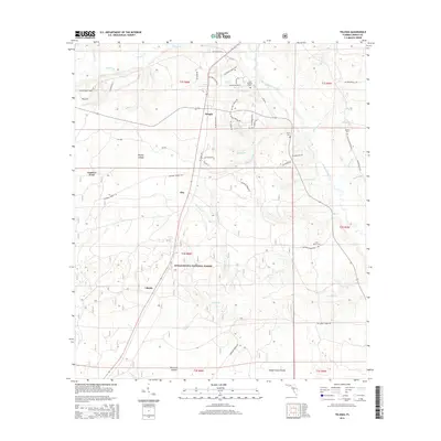
(13)- 1945 Map of Telogia, 1960 Print
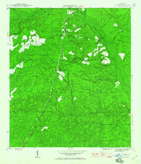 1945 Telogia1960 Print · USGSLiberty County was a landscape of deep pine woods and cypress strands at the end of the Second World War. Researchers can trace the Apalachicola Northern rail line through Telogia or locate rural family landmarks like Mc Nair Cem and Evans Cem.
 - 1946 Map of Telogia
 1946 Telogia1946 Print · USGSLiberty County's timberlands and wetlands are captured here in the mid-1940s as the railroad and forestry shaped local life. Genealogists and historians can locate family burial sites like Marys Cem and trace the route of the Apalachicola Northern rail line.2 unique versions available
 - 1954 Map of Tallahassee, 1967 Print
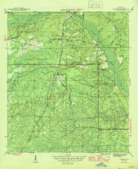
 1954 Tallahassee1967 Print · USGSThe Florida Panhandle and South Georgia are captured here during a period of mid-century growth and military expansion. Researchers can trace the development of Panama City, the footprint of Tyndall Air Force Base, and the rail lines of the Atlantic Coast Line.4 unique versions available
 - 1959 Map of Tallahassee
 1959 Tallahassee1959 Print · USGSFlorida's Panhandle and the Big Bend region appear here in the mid-fifties, showing a landscape defined by its great river systems and developing coast. Trace the early layout of Panama City, the expansive Apalachicola National Forest, and the coastal St Marks Lighthouse.
 - 1960 Map of Tallahassee
 1960 Tallahassee1960 Print · USGSThe Florida Panhandle and southern Georgia are captured here in the mid-twentieth century, showing a region defined by its rivers and military installations. Genealogists and historians can trace the growth of Tallahassee or locate coastal landmarks like the St Marks Lighthouse and Tyndall Air Force Base.
 - 1979 Map of Tallahassee, 1980 Print
 1979 Tallahassee1980 Print · USGSFlorida's capital and the Gulf coast are captured here in the late seventies, showing the region's balance between urban growth and massive protected wetlands. Researchers can trace the routes of the Apalachicola Northern Railroad or locate small inland hubs like Sopchoppy, Panacea, and Hosford.
 - 1988 Map of Tallahassee
 1988 Tallahassee1988 Print · USGSThe Florida Panhandle and South Georgia are captured here in the late eighties, showing the expansion of the regional highway network and coastal growth. Genealogists and historians can trace rail lines like the Seaboard System Railroad or locate family roots in Blountstown, Graceville, or Crawfordville.2 unique versions available
 - 1990 Map of Telogia
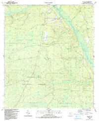 1990 Telogia1990 Print · USGSLiberty County's rural character is on full display in the 1990s, defined by the wetlands of the Apalachicola National Forest. Researchers can locate several family burial grounds like Old Burnoff Cem and McNair Cem or trace the early paths at Conners Ford.
 - 2012 Map of Telogia, 2012 Print
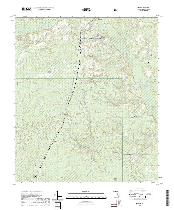
 2012 Telogia2012 Print · USGSCovers Clio, including Telogia, Conners Ford, and other nearby areas
 - 2015 Map of Telogia, 2015 Print
 2015 Telogia2015 Print · USGSCovers Clio, including Telogia, Conners Ford, and other nearby areas
 - 2018 Map of Telogia, 2018 Print
 2018 Telogia2018 Print · USGSCovers Clio, including Telogia, Conners Ford, and other nearby areas
 - 2021 Map of Telogia, 2021 Print
 2021 Telogia2021 Print · USGSCovers Clio, including Telogia, Conners Ford, and other nearby areas
 - 2024 Map of Telogia, 2024 Print
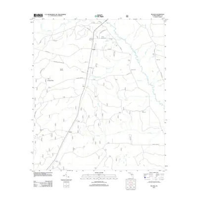
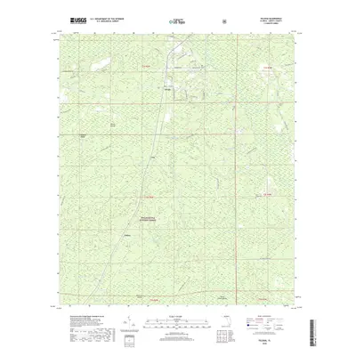
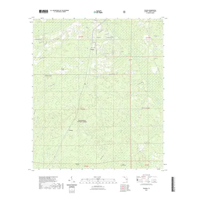
 2024 Telogia2024 Print · USGSLiberty County's forested interior is captured here in the early twenty-first century, showing the small communities and rural timberlands of the Florida Panhandle. Genealogists can trace family landmarks like Summerlin Family Cem, McNair Cem, and the historic Telogia Baptist Church.
End of results
Showing maps 1-13 of 13
Top cities near Clio
Frequently asked questions
- What are the different types of historical maps available for Clio?
- What is the oldest map of Clio?
- Where can I purchase historical maps of Clio for my home or office?
- Where can I download high-res historical maps of Clio?
- Are there historical topographic maps available for Clio?
- Is there historical aerial imagery available for Clio?
- Where are historical maps of Clio sourced from?