Old Maps of Jumbolair Aviation Estates, Marion County for Academic Research
Study the evolution of Jumbolair Aviation Estates with 12 high-resolution historic maps. Whether you're teaching, researching, or modeling changes in land use, these maps provide essential visual documentation of urban, environmental, and geographic change.
- Analyze long-term change: Track patterns in development, transportation, and natural features.
- Ideal for environmental or urban studies: Support academic projects with primary historical map data.
- Use in the classroom or lab: Educators and researchers rely on these maps to bring historical context to life.
These maps are a powerful tool for teaching, research, and visualizing how Jumbolair Aviation Estates has changed over the decades.
Jumbolair Aviation Estates, Marion County maps
(12)- 1893 Map of Citra, 1960 Print
 1893 Citra1960 Print · USGSMarion County in the late nineteenth century was a hub of industrial mining and railroad expansion. Genealogists and historians can trace the early phosphate boom at the French Phosphate Mines or locate old rail stops in Citra, McIntosh, and Anthony.
 - 1895 Map of Citra
 1895 Citra1895 Print · USGSNorthern Marion County and southern Alachua County are shown here in the 1890s, when phosphate mining and citrus transport drove the local economy. Trace the old rail lines and explore the sites of the French Phosphate Mines, Citra, and McIntosh.6 unique versions available
 - 1954 Map of Gainesville, 1965 Print
 1954 Gainesville1965 Print · USGSMid-century North Central Florida comes into focus as a landscape of timber, rails, and river towns along the Gulf. Trace family roots in established centers like Gainesville or follow the path of the Suwannee River to the coastal docks of Cedar Key.3 unique versions available
 - 1958 Map of Gainesville
 1958 Gainesville1958 Print · USGSNorth Central Florida’s rail and river networks are frozen in time just before the interstate era. Genealogists and historians can trace the paths of the Atlantic Coast Line through Gainesville or locate coastal settlements like Steinhatchee and Cedar Key.
 - 1959 Map of Gainesville
 1959 Gainesville1959 Print · USGSNorth Florida in the mid-fifties is seen here from the Gulf coast to the inland lakes, showing the rail-and-river network before modern highways dominated. Researchers can trace the paths of the Seaboard Air Line through towns like Chiefland and Micanopy, or explore the coastal inlets of Waccasassa Bay.
 - 1967 Map of Anthony, 1970 Print
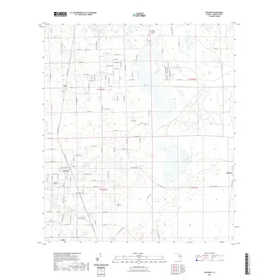
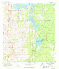 1967 Anthony1970 Print · USGSMarion County's citrus and rail corridor is captured here in the late sixties, showing the transition from agricultural tracts to early residential plats. Researchers can locate family landmarks like Dupree Cem, Mt Olive Ch, and the Seaboard Coast Line rail stops at Sparr and Anthony.3 unique versions available
 - 1978 Map of Ocala, 1980 Print
 1978 Ocala1980 Print · USGSFlorida's interior heartland and Gulf coast are seen here in the late seventies, showing the transition from freshwater springs to coastal hammocks. Genealogists and historians can trace the Seaboard Coast Line Railroad through Chiefland, Bronson, and Dunnellon.2 unique versions available
 - 2012 Map of Anthony, 2012 Print
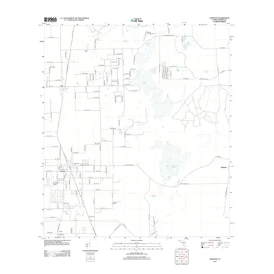 2012 Anthony2012 Print · USGSCovers Jumbolair Aviation Estates, including Sparr, Burbank, and other nearby areas
 - 2015 Map of Anthony, 2015 Print
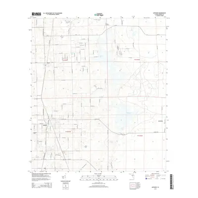 2015 Anthony2015 Print · USGSCovers Jumbolair Aviation Estates, including Sparr, Burbank, and other nearby areas
 - 2018 Map of Anthony, 2018 Print
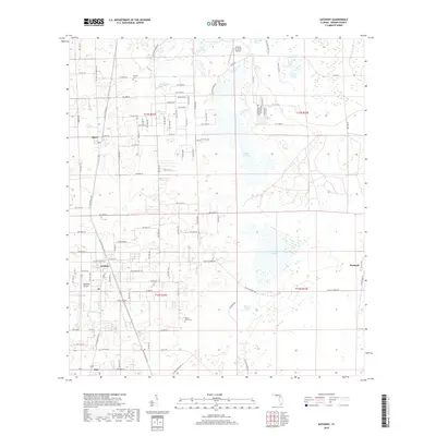 2018 Anthony2018 Print · USGSCovers Jumbolair Aviation Estates, including Sparr, Burbank, and other nearby areas
 - 2021 Map of Anthony, 2021 Print
 2021 Anthony2021 Print · USGSCovers Jumbolair Aviation Estates, including Sparr, Burbank, and other nearby areas
 - 2024 Map of Anthony, 2024 Print
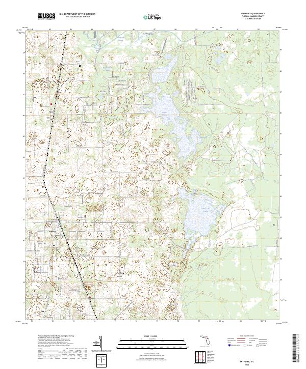 2024 Anthony2024 Print · USGSMarion County’s rural heartland is documented here in the early twenty-first century, centered on the historic communities of Anthony and Sparr. Researchers can trace local heritage at Dupree Cem or explore the distinct aviation landscapes of Jumbolair Airport.
End of results
Showing maps 1-12 of 12
Frequently asked questions
- What are the different types of historical maps available for Jumbolair Aviation Estates?
- What is the oldest map of Jumbolair Aviation Estates?
- Where can I purchase historical maps of Jumbolair Aviation Estates for my home or office?
- Where can I download high-res historical maps of Jumbolair Aviation Estates?
- Are there historical topographic maps available for Jumbolair Aviation Estates?
- Is there historical aerial imagery available for Jumbolair Aviation Estates?
- Where are historical maps of Jumbolair Aviation Estates sourced from?