Old Maps of Blackman, Florida for Hiking & Exploration
Hike through history with 12 historic maps of Blackman. Explore old trails, ghost towns, and forgotten backroads — perfect for outdoor adventurers and local explorers.
- Rediscover forgotten places: Map out old mining camps, roads, and footpaths that no longer exist on modern maps.
- Layer with modern tools: Combine with LiDAR or satellite views to plan hikes through historical terrain.
- Made for exploration: Popular among hikers, overlanders, and local history lovers.
Use these maps to find adventure and explore the hidden past of Blackman.
Blackman, FL maps
(12)- 1949 Map of Crestview, 1960 Print
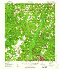 1949 Crestview1960 Print · USGSOkaloosa County at the close of the 1940s shows a landscape of river-bottom forests and rural crossroads. Researchers can trace family sites at Pilgrims Rest Ch, locate old timber operations like Campbells Mill, and follow the Louisville & Nashville rail line through Crestview.2 unique versions available
 - 1951 Map of Crestview
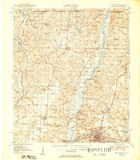 1951 Crestview1951 Print · USGSMid-century Okaloosa County is centered on the growth of Crestview along the Louisville and Nashville Railroad. Genealogists and historians can trace numerous rural landmarks, from Campbells Mill to the Old Spanish Trail and family-named sites like Peaden Cem.2 unique versions available
 - 1957 Map of Pensacola, 1967 Print
 1957 Pensacola1967 Print · USGSThe Florida Panhandle and Alabama coast are seen here at the height of the Cold War, showcasing a unique mix of military aviation and emerging beach tourism. Genealogists and local historians can trace legacy sites like Old Corry Field, the lumber town of Bagdad, and the coastal reaches of Santa Rosa Island.3 unique versions available
 - 1959 Map of Pensacola
 1959 Pensacola1959 Print · USGSThe Florida Panhandle and Alabama coast come alive in this late fifties survey of military aviation and maritime life. Genealogists can trace family roots in Bagdad, Loxley, and Milton while mapping the rails of the Louisville and Nashville.
 - 1960 Map of Pensacola
 1960 Pensacola1960 Print · USGSThe Florida Panhandle and Alabama's eastern shore are shown during a period of rapid military and coastal growth. Genealogists and historians can trace the mid-century footprints of Warrington, the Pensacola NAS (Chevalier), and the Blackwater River timber lands.
 - 1973 Map of Blackman, 1976 Print
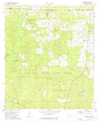 1973 Blackman1976 Print · USGSUpper Okaloosa County is captured in the early 1970s as a landscape of timberlands and quiet crossroads settlements. You can trace family history at Red Oak Cem or locate the old Sand Hill Lookout Tower and Olive Branch Ch.3 unique versions available
 - 1978 Map of Crestview, 1982 Print
 1978 Crestview1982 Print · USGSThe Florida Panhandle and southern Alabama borderlands appear here in the late seventies as the military and timber industries shaped the landscape. Genealogists can trace family roots through small settlements like Cannon Town or Svea, and locate old sites like Aux Field No 4 (Abandoned).2 unique versions available
 - 2011 Map of Blackman, 2011 Print
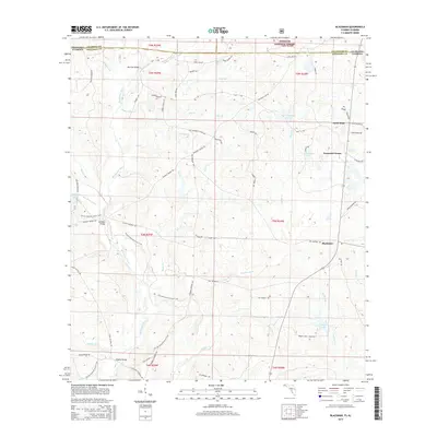
 2011 Blackman2011 Print · USGSCovers Blackman, including Escambia Farms, Good Hope, and other nearby areas
 - 2015 Map of Blackman, 2015 Print
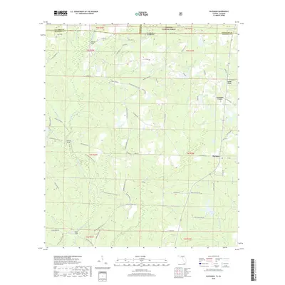
 2015 Blackman2015 Print · USGSCovers Blackman, including Escambia Farms, Good Hope, and other nearby areas
 - 2018 Map of Blackman, 2018 Print
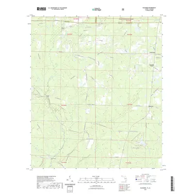
 2018 Blackman2018 Print · USGSCovers Blackman, including Escambia Farms, Good Hope, and other nearby areas
 - 2021 Map of Blackman, 2021 Print
 2021 Blackman2021 Print · USGSCovers Blackman, including Escambia Farms, Good Hope, and other nearby areas
 - 2024 Map of Blackman, 2024 Print
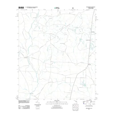
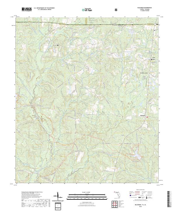 2024 Blackman2024 Print · USGSThe Florida-Alabama state line and the upper reaches of the Blackwater River define this rural landscape in the 2020s. Genealogists and local historians can trace family-named landmarks like Red Oak Cem, Clements Cem, and the settlement at Blackman.
End of results
Showing maps 1-12 of 12
Top cities near Blackman
Frequently asked questions
- What are the different types of historical maps available for Blackman?
- What is the oldest map of Blackman?
- Where can I purchase historical maps of Blackman for my home or office?
- Where can I download high-res historical maps of Blackman?
- Are there historical topographic maps available for Blackman?
- Is there historical aerial imagery available for Blackman?
- Where are historical maps of Blackman sourced from?