Old Maps of Maitland, Orange County for Hiking & Exploration
Hike through history with 34 historic maps of Maitland. Explore old trails, ghost towns, and forgotten backroads — perfect for outdoor adventurers and local explorers.
- Rediscover forgotten places: Map out old mining camps, roads, and footpaths that no longer exist on modern maps.
- Layer with modern tools: Combine with LiDAR or satellite views to plan hikes through historical terrain.
- Made for exploration: Popular among hikers, overlanders, and local history lovers.
Use these maps to find adventure and explore the hidden past of Maitland.
Maitland, Orange County maps
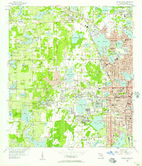
(34)- 1955 Map of Orlando, 1969 Print
 1955 Orlando1969 Print · USGSCentral Florida was entering the space age in the mid-fifties, balancing its citrus heritage with new military and aerospace frontiers. You can trace early developments at Kennedy Space Center or locate interior settlements like Eatonville and Pine Castle.3 unique versions available
 - 1956 Map of Orlando West, 1957 Print
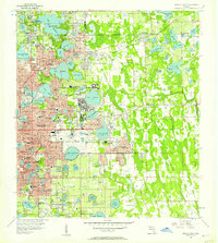
 1956 Orlando West1957 Print · USGSWestern Orlando and its surrounding lake country are shown in the mid-fifties during a decade of rapid citrus and residential growth. Genealogists can trace early neighborhood footprints and local landmarks like Eatonville, Washington Park Cem, and Orlovista.5 unique versions available
 - 1956 Map of Orlando East, 1957 Print
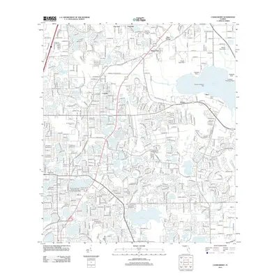
 1956 Orlando East1957 Print · USGSCentral Florida underwent rapid suburbanization in the mid-fifties as military and residential hubs expanded around the lakes. Trace early neighborhoods and schools like Rollins College, Orlando Air Force Base, and Azalea Park.4 unique versions available
 - 1957 Map of Orlando
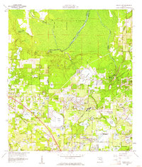
 1957 Orlando1957 Print · USGSCovers Maitland, including Orlando, Palm Bay, and other nearby areas
 - 1958 Map of Orlando
 1958 Orlando1958 Print · USGSCentral Florida was a landscape of citrus, rail, and emerging aerospace technology during the late fifties. Researchers can trace the early footprints of Cape Canaveral and Patrick Air Force Base or locate inland citrus and rail hubs like Sanford and Lakeland.
 - 1959 Map of Forest City, 1961 Print
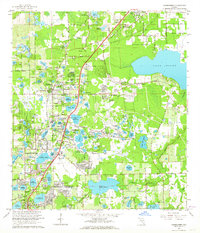
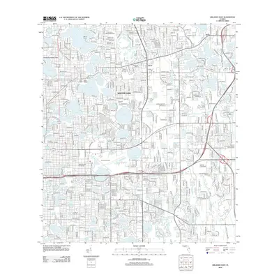
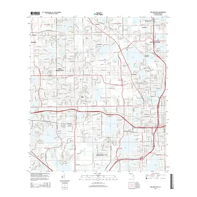
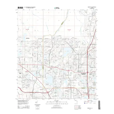
 1959 Forest City1961 Print · USGSThe northern Orlando suburbs were a landscape of citrus groves and spring-fed lakes during the late fifties. Genealogists and historians can locate legacy sites like the Altamonte Springs Sch, Mt Tabor Ch, and the Highland Memory Garden.5 unique versions available
 - 1962 Map of Orlando
 1962 Orlando1962 Print · USGSCentral Florida was transformed by aerospace and citrus at the start of the sixties. Genealogists and historians can trace old community footprints from Eau Gallie to Leesburg, alongside landmarks like McCoy AFB and the winding Econlockhatchee River.
 - 1962 Map of Casselberry, 1964 Print
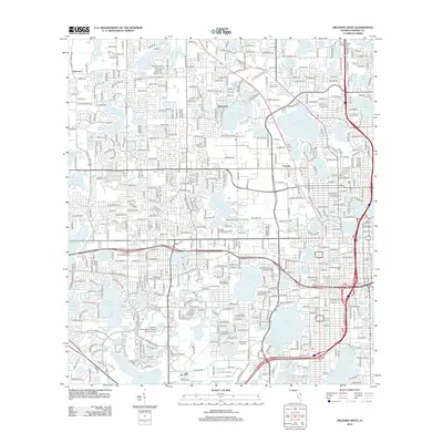
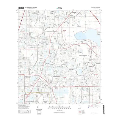
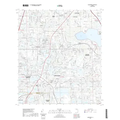
 1962 Casselberry1964 Print · USGSSeminole County was experiencing a mid-century surge in suburban and recreational development when this survey was conducted. Local historians can trace the early footprints of Casselberry and Longwood, finding sites like the Seminole Park Raceway and the Sanford-Orlando Kennel Club.5 unique versions available
 - 1979 Map of Orlando, 1980 Print
 1979 Orlando1980 Print · USGSCentral Florida's lake country and growing urban corridors are captured here just before the decade's end. Genealogists and historians can trace the transition from citrus rail towns like Winter Garden to the suburban expansion along I-4 and Florida's Turnpike.3 unique versions available
 - 1994 Map of Casselberry, 2000 Print
 1994 Casselberry2000 Print · USGSThe lake country of Seminole County was undergoing rapid change in the mid-1990s as suburbs expanded around Lake Jesup. Researchers can trace local landmarks like Lyman High Sch, the Ebenezer Ch, and the preserved lands of Big Tree Park.
 - 1994 Map of Orlando East, 2000 Print
 1994 Orlando East2000 Print · USGSOrlando and Winter Park at the end of the century are depicted here as a thriving network of lakefront neighborhoods and major institutional campuses. Researchers can trace the layout of the Orlando Naval Training Center, find local schools like Lakemont Sch, or locate the historic Greenwood Cemetery.
 - 1995 Map of Forest City, 2000 Print
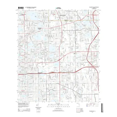
 1995 Forest City2000 Print · USGSThe northern reaches of the Orlando area are shown during a period of rapid suburban growth in the mid-1990s. Researchers can trace the development of established communities like Forest City and Altamonte Springs alongside landmarks like the Forest Lake Academy and Bear Lake.
 - 1995 Map of Orlando West, 2000 Print
 1995 Orlando West2000 Print · USGSWestern Orlando and the historic town of Eatonville are shown during a period of significant growth in the mid-nineties. Genealogists and local historians can trace neighborhood development near Washington Park Cem, St Andrews Ch, and the landmark Tangerine Bowl.
 - 2012 Map of Forest City, 2012 Print
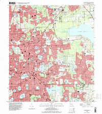
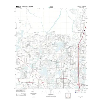 2012 Forest City2012 Print · USGSCovers Maitland, including Altamonte Springs, Orienta Gardens, and other nearby areas
 - 2012 Map of Orlando East, 2012 Print
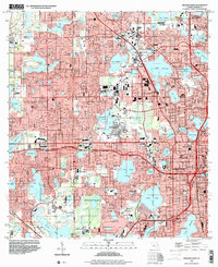
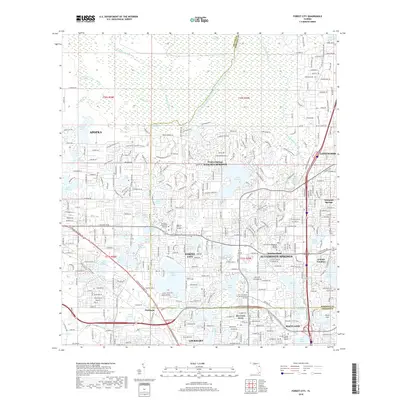
 2012 Orlando East2012 Print · USGSCovers Maitland, including Orlando, Winter Park, and other nearby areas
 - 2012 Map of Orlando West, 2012 Print
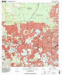
 2012 Orlando West2012 Print · USGSCovers Maitland, including Orlando, Orlo Vista, and other nearby areas
 - 2012 Map of Casselberry, 2012 Print
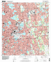
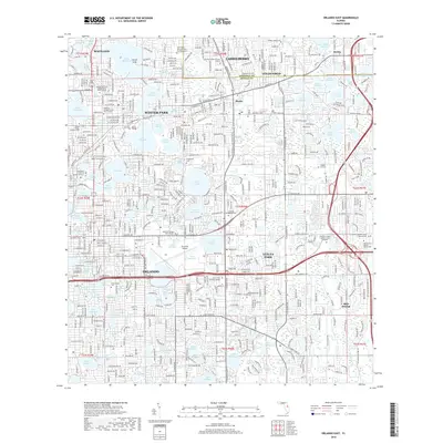
 2012 Casselberry2012 Print · USGSCovers Maitland, including Sanford, Winter Springs, and other nearby areas
 - 2015 Map of Casselberry, 2015 Print
 2015 Casselberry2015 Print · USGSCovers Maitland, including Sanford, Winter Springs, and other nearby areas
 - 2015 Map of Orlando West, 2015 Print
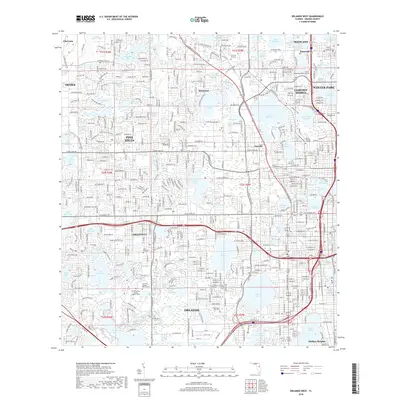
 2015 Orlando West2015 Print · USGSCovers Maitland, including Orlando, Orlo Vista, and other nearby areas
 - 2015 Map of Forest City, 2015 Print
 2015 Forest City2015 Print · USGSCovers Maitland, including Altamonte Springs, Orienta Gardens, and other nearby areas
 - 2015 Map of Orlando East, 2015 Print
 2015 Orlando East2015 Print · USGSCovers Maitland, including Orlando, Winter Park, and other nearby areas
 - 2018 Map of Casselberry, 2018 Print
 2018 Casselberry2018 Print · USGSCovers Maitland, including Sanford, Winter Springs, and other nearby areas
 - 2018 Map of Orlando East, 2018 Print
 2018 Orlando East2018 Print · USGSCovers Maitland, including Orlando, Winter Park, and other nearby areas
 - 2018 Map of Forest City, 2018 Print
 2018 Forest City2018 Print · USGSCovers Maitland, including Altamonte Springs, Orienta Gardens, and other nearby areas
 - 2018 Map of Orlando West, 2018 Print
 2018 Orlando West2018 Print · USGSCovers Maitland, including Orlando, Orlo Vista, and other nearby areas
Showing maps 1-25 of 34
Frequently asked questions
- What are the different types of historical maps available for Maitland?
- What is the oldest map of Maitland?
- Where can I purchase historical maps of Maitland for my home or office?
- Where can I download high-res historical maps of Maitland?
- Are there historical topographic maps available for Maitland?
- Is there historical aerial imagery available for Maitland?
- Where are historical maps of Maitland sourced from?