Old Maps of Fish Creek, Florida for Genealogy
Trace your family roots with 11 historic maps of Fish Creek. These high-res maps reveal old neighborhoods, homesites, landmarks, and streets — helping you uncover where your ancestors lived and how the area evolved over time.
- Explore historic neighborhoods: Identify where your relatives may have lived in the 1800s or 1900s.
- Compare maps over time: Trace the changes in streets, buildings, and landmarks for multi-generational research.
- Perfect for genealogy & ancestry research: Used by family historians and researchers to map out lineage and migration.
These maps are an incredible resource for exploring your personal connection to Fish Creek's past.
Fish Creek, FL maps
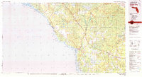
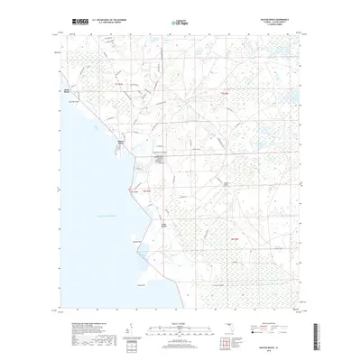
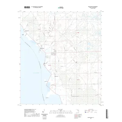
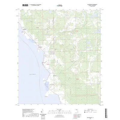
(11)- 1954 Map of Keaton Beach, 1956 Print
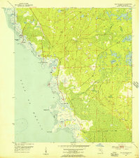 1954 Keaton Beach1956 Print · USGSCoastal Taylor County comes into focus in the mid-fifties, showing a landscape of tidal marshes and early waterfront outposts. Trace the locations of Dekle Beach and Keaton Beach, or follow the Old Railroad Grade and named landmarks like Howell Place.3 unique versions available
 - 1954 Map of Gainesville, 1965 Print
 1954 Gainesville1965 Print · USGSMid-century North Central Florida comes into focus as a landscape of timber, rails, and river towns along the Gulf. Trace family roots in established centers like Gainesville or follow the path of the Suwannee River to the coastal docks of Cedar Key.3 unique versions available
 - 1958 Map of Gainesville
 1958 Gainesville1958 Print · USGSNorth Central Florida’s rail and river networks are frozen in time just before the interstate era. Genealogists and historians can trace the paths of the Atlantic Coast Line through Gainesville or locate coastal settlements like Steinhatchee and Cedar Key.
 - 1959 Map of Gainesville
 1959 Gainesville1959 Print · USGSNorth Florida in the mid-fifties is seen here from the Gulf coast to the inland lakes, showing the rail-and-river network before modern highways dominated. Researchers can trace the paths of the Seaboard Air Line through towns like Chiefland and Micanopy, or explore the coastal inlets of Waccasassa Bay.
 - 1978 Map of Cross City, 1980 Print
 1978 Cross City1980 Print · USGSThe Florida Big Bend's coastal swamps and timberlands are captured here in the late seventies. Researchers can trace the path of the Seaboard Coast Line through Cross City or locate old coastal spots like Fishermans Rest and Clara.2 unique versions available
 - 2012 Map of Keaton Beach, 2012 Print
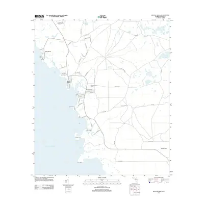 2012 Keaton Beach2012 Print · USGSCovers Fish Creek, including Dekle Beach, Howell Place, and other nearby areas
 - 2015 Map of Keaton Beach, 2015 Print
 2015 Keaton Beach2015 Print · USGSCovers Fish Creek, including Dekle Beach, Howell Place, and other nearby areas
 - 2018 Map of Keaton Beach, 2018 Print
 2018 Keaton Beach2018 Print · USGSCovers Fish Creek, including Dekle Beach, Howell Place, and other nearby areas
 - 2021 Map of Keaton Beach, 2021 Print
 2021 Keaton Beach2021 Print · USGSCovers Fish Creek, including Dekle Beach, Howell Place, and other nearby areas
 - 2024 Map of Keaton Beach, 2024 Print
 2024 Keaton Beach2024 Print · USGSCovers Fish Creek, including Dekle Beach, Howell Place, and other nearby areas
 - 2025 Map of Keaton Beach, 2025 Print
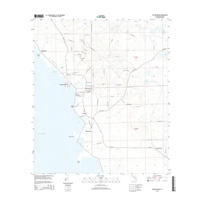
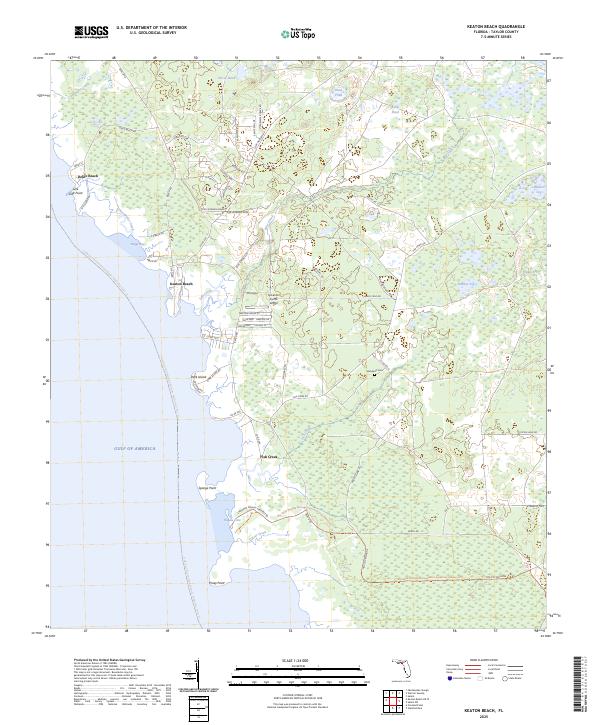 2025 Keaton Beach2025 Print · USGSThe Taylor County coastline comes alive in this survey of the mid-2020s, showing the intersection of coastal settlements and expansive Gulf wetlands. Trace the residential layouts of Keaton Beach and Dark Island or find local landmarks like Stanaland Cem.
End of results
Showing maps 1-11 of 11
Top cities near Fish Creek
Frequently asked questions
- What are the different types of historical maps available for Fish Creek?
- What is the oldest map of Fish Creek?
- Where can I purchase historical maps of Fish Creek for my home or office?
- Where can I download high-res historical maps of Fish Creek?
- Are there historical topographic maps available for Fish Creek?
- Is there historical aerial imagery available for Fish Creek?
- Where are historical maps of Fish Creek sourced from?