1900s (20th Century) Maps of Appling County, Georgia
Explore 21 historic maps of Appling County from the 1900s (20th Century). These maps offer a rare glimpse into what life looked like during the 1900s — showing old roads, neighborhoods, homes, and landmarks that have changed or disappeared over time.
Whether you're researching your family's past, planning a metal detecting trip, or studying how Appling County's landscape evolved across the 1900s, these high-resolution maps are a powerful tool for exploring the history of this region.
- Focus on a specific era: All maps on this page are from the 1900s, giving you a focused view of this time period.
- See what’s changed: Compare century-old streets, trails, and buildings to today's modern landscape using overlays and satellite layers.
- Research with precision: Use these maps for genealogy, historical research, land use analysis, or educational projects.
- View, download, or print: Maps are fully viewable online in high resolution, and can be downloaded or printed for your own records.
Start exploring Appling County's history through authentic maps from the 1900s. This is your window into the past.
Appling County, GA maps
(21)- 1953 Map of Waycross, 1967 Print
 1953 Waycross1967 Print · USGSSouth Georgia's agricultural and rail heartland is captured here in the mid-1950s, showing a vast network of timber and farming towns. Researchers can trace the rail lines connecting Waycross and Tifton or locate landmarks like Jefferson Davis State Park and Lake Blackshear.2 unique versions available
 - 1958 Map of Waycross
 1958 Waycross1958 Print · USGSSoutheast Georgia in the late fifties remains a landscape of deep river basins and vital rail junctions. Genealogists and historians can trace family-named landmarks and rural hubs like Union Church, South Georgia College, and the sprawling Okefenokee Swamp.2 unique versions available
 - 1970 Map of Altamaha, 1974 Print
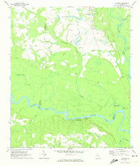 1970 Altamaha1974 Print · USGSThe Altamaha River bottomlands of Tattnall and Toombs counties were undergoing steady development in the early seventies. Genealogists and local historians can trace family roots through several rural landmarks, including Stripling Cem, Harden Cem, and Ebenezer Ch.
 - 1970 Map of Baxley NE, 1974 Print
 1970 Baxley NE1974 Print · USGSThe Altamaha River corridor comes into focus during the early 1970s as a landscape of rural tradition meeting industrial utility. Genealogists can trace family connections at English Eddy or locate historic sites like Smith Cem and Oak Grove Ch.2 unique versions available
 - 1970 Map of Altamaha SE, 1974 Print
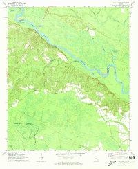 1970 Altamaha SE1974 Print · USGSThe Altamaha River bottomlands in the early 1970s reveal a landscape defined by river landings and rural family history. Researchers can trace land ties through numerous sites like Thompson Cem, Blantons Chapel, and Lower Sister Bluff Landing.
 - 1970 Map of Altamaha SW, 1974 Print
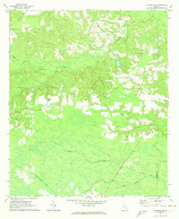 1970 Altamaha SW1974 Print · USGSSoutheast Georgia’s timber and farming lands are captured here in the early 1970s, as the rural landscape transitioned into the modern era. Researchers can trace family history through sites like Easons Cem, the Tenmile Lookout Tower, and the remote settlement of Alisons.
 - 1970 Map of Pine Grove, 1974 Print
 1970 Pine Grove1974 Print · USGSAppling and Jeff Davis counties are captured here in the early seventies, dominated by the timber and rail landscape of South Georgia. Researchers can trace the path of the Southern railway through Pine Grove and locate rural landmarks like Sellers Cem or Big Oak Ch.2 unique versions available
 - 1970 Map of Tison, 1974 Print
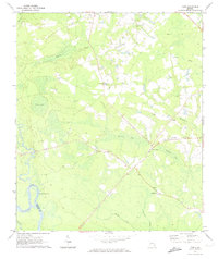 1970 Tison1974 Print · USGSCoastal Georgia's Tattnall County is captured here in the early seventies, showcasing a landscape of river-bend borders and rural hamlets. Genealogists and historians can trace numerous family-named sites, from Sand Hill Cem to community hubs like Tison and Five Points.2 unique versions available
 - 1970 Map of Grays Landing, 1974 Print
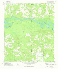 1970 Grays Landing1974 Print · USGSThe Altamaha River bottomlands of Jeff Davis and Toombs Counties come alive in the early seventies, showing a network of river landings and rural outposts. Genealogists and historians can trace family burial sites like Old Smyrna Cem and industrial relics such as the Industrial Railroad.2 unique versions available
 - 1970 Map of Baxley, 1974 Print
 1970 Baxley1974 Print · USGSBaxley and the rural stretches of Appling County are captured here in the early seventies as the town served as a vital rail and civic hub. Genealogists and local historians can trace family-named sites like Sellers Cem and Carter Cem, or locate rural landmarks like Tenmile Ch and the Drive-in Theater.2 unique versions available
 - 1971 Map of Surrency, 1973 Print
 1971 Surrency1973 Print · USGSThe community of Surrency and the Southern railroad define this Georgia landscape in the early seventies. Researchers can trace local heritage through sites like Surrency Cem, Carters Chapel, and the Overstreet Cem along the Appling and Wayne County line.
 - 1971 Map of Nicholls NE, 1974 Print
 1971 Nicholls NE1974 Print · USGSThe tri-county borderlands of Jeff Davis, Appling, and Bacon counties are mapped here in the early seventies. Genealogists can trace family landmarks like Simmons Cem, Taylor Cem, and Mims Chapel across this drainage basin.
 - 1971 Map of Coffee, 1974 Print
 1971 Coffee1974 Print · USGSIn the early 1970s, this portion of Bacon and Appling counties was defined by its winding creek bottoms and scattered rural congregations. Researchers can trace local lineage through sites like New Lacy, Jesus Cem, and Mt Pleasant Ch.
 - 1971 Map of K'ville, 1974 Print
 1971 K'ville1974 Print · USGSAppling and Wayne counties meet in this early seventies survey of the Georgia coastal plain. Genealogists and local historians can trace legacy landmarks like Paulk Cem, School No 4, and several country churches including Morris Chapel.2 unique versions available
 - 1971 Map of Alma NW, 1974 Print
 1971 Alma NW1974 Print · USGSAppling and Bacon counties are shown here in the early 1970s, defined by the winding course of Big Satilla Creek. Genealogists and local historians can locate rural landmarks like Dyals Sch, New Hope Ch, and the Big Creek Ch Cem.
 - 1971 Map of Patterson, 1974 Print
 1971 Patterson1974 Print · USGSPierce County during the early seventies reveals a landscape of railroad towns and timbered creek bottoms. Genealogists can trace family landmarks like Aspinwall Cem, Gethsemane Cem, and the rural community surrounding Union Chapel.
 - 1971 Map of Hazlehurst South, 1974 Print
 1971 Hazlehurst South1974 Print · USGSJeff Davis County in the early 1970s shows a transition from the railroad hub of Hazlehurst to rural timberlands and family farms. Researchers can trace historic church sites like Morgans Chapel and Macedonia Ch, or locate family burials at Bazemore Cem and Ebenezer Cem.2 unique versions available
 - 1971 Map of Alma NE, 1974 Print
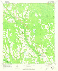 1971 Alma NE1974 Print · USGSThe rural borderlands of Appling and Bacon County are captured here in the early seventies as small farms and family tracts predominated. Genealogists can trace family lines through the Old Pleasant Grove Cem, Carter Cem, and the Odum Childrens Home.
 - 1978 Map of Waycross, 1982 Print
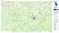 1978 Waycross1982 Print · USGSSoutheast Georgia in the late seventies is a landscape of vast wetlands and busy rail junctions. Genealogists and local historians can trace the Seaboard Coast Line through rural stops like Millwood and Pearson or locate family sites near the Okefenokee Swamp.
 - 1979 Map of Hazlehurst, 1980 Print
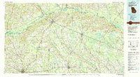 1979 Hazlehurst1980 Print · USGSSoutheast Georgia in the late seventies is defined by the convergence of major rail lines and river basins in Jeff Davis and Appling counties. Genealogists and local historians can trace the development of Hazlehurst and Baxley alongside features like the Pine Grove Pipeline and the Altamaha River wetlands.
 - 1988 Map of Waycross
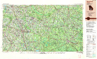 1988 Waycross1988 Print · USGSSouth Georgia's wiregrass and timber country is documented here in the late eighties, centered on the vital rail junction of Waycross. Genealogists and historians can trace the rural landscape from Okefenokee up to the Ocmulgee, finding sites like Lumber City and Jefferson Davis Memorial State Park.
End of results
Showing maps 1-21 of 21
Top cities of Appling County
Frequently asked questions
- What are the different types of historical maps available for Appling County?
- What is the oldest map of Appling County?
- Where can I purchase historical maps of Appling County for my home or office?
- Where can I download high-res historical maps of Appling County?
- Are there historical topographic maps available for Appling County?
- Is there historical aerial imagery available for Appling County?
- Where are historical maps of Appling County sourced from?