Old Maps of Bacon County, Georgia for Hiking & Exploration
Hike through history with 77 historic maps of Bacon County. Explore old trails, ghost towns, and forgotten backroads — perfect for outdoor adventurers and local explorers.
- Rediscover forgotten places: Map out old mining camps, roads, and footpaths that no longer exist on modern maps.
- Layer with modern tools: Combine with LiDAR or satellite views to plan hikes through historical terrain.
- Made for exploration: Popular among hikers, overlanders, and local history lovers.
Use these maps to find adventure and explore the hidden past of Bacon County.
Bacon County, GA maps
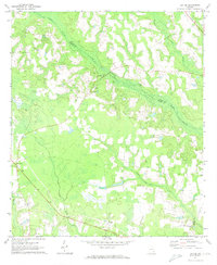
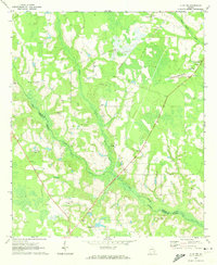
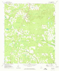
(77)- 1953 Map of Waycross, 1967 Print
 1953 Waycross1967 Print · USGSSouth Georgia's agricultural and rail heartland is captured here in the mid-1950s, showing a vast network of timber and farming towns. Researchers can trace the rail lines connecting Waycross and Tifton or locate landmarks like Jefferson Davis State Park and Lake Blackshear.2 unique versions available
 - 1958 Map of Waycross
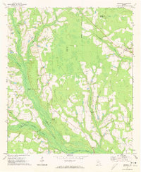
 1958 Waycross1958 Print · USGSSoutheast Georgia in the late fifties remains a landscape of deep river basins and vital rail junctions. Genealogists and historians can trace family-named landmarks and rural hubs like Union Church, South Georgia College, and the sprawling Okefenokee Swamp.2 unique versions available
 - 1971 Map of Nicholls NE, 1974 Print
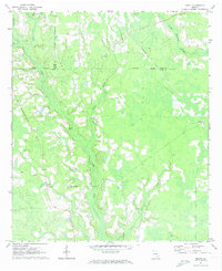
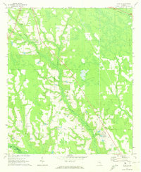
 1971 Nicholls NE1974 Print · USGSThe tri-county borderlands of Jeff Davis, Appling, and Bacon counties are mapped here in the early seventies. Genealogists can trace family landmarks like Simmons Cem, Taylor Cem, and Mims Chapel across this drainage basin.
 - 1971 Map of Coffee, 1974 Print
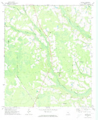
 1971 Coffee1974 Print · USGSIn the early 1970s, this portion of Bacon and Appling counties was defined by its winding creek bottoms and scattered rural congregations. Researchers can trace local lineage through sites like New Lacy, Jesus Cem, and Mt Pleasant Ch.
 - 1971 Map of Nicholls, 1974 Print
 1971 Nicholls1974 Print · USGSCoastal plain Georgia thrives as a rail and timber hub in the early seventies, centered on the busy junction of the Seaboard Coast Line. Researchers can locate historic rural congregations at Sand Hill Ch or trace family lineage through Kirkland Cem and Rinson Cem.2 unique versions available
 - 1971 Map of K'ville, 1974 Print
 1971 K'ville1974 Print · USGSAppling and Wayne counties meet in this early seventies survey of the Georgia coastal plain. Genealogists and local historians can trace legacy landmarks like Paulk Cem, School No 4, and several country churches including Morris Chapel.2 unique versions available
 - 1971 Map of Alma NW, 1974 Print
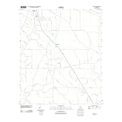
 1971 Alma NW1974 Print · USGSAppling and Bacon counties are shown here in the early 1970s, defined by the winding course of Big Satilla Creek. Genealogists and local historians can locate rural landmarks like Dyals Sch, New Hope Ch, and the Big Creek Ch Cem.
 - 1971 Map of Beach, 1974 Print
 1971 Beach1974 Print · USGSSoutheast Georgia's rural timber and farm country comes into focus in the early 1970s as the rail and road networks connected small parish communities. Genealogists and local historians can trace family land near Bickley, Grace Chapel, and several local sites like Bagley Cem.2 unique versions available
 - 1971 Map of Alma, 1974 Print
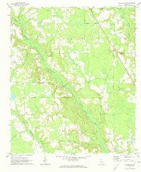
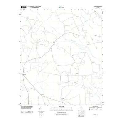
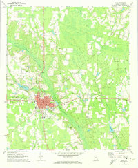 1971 Alma1974 Print · USGSBacon County life in the early seventies centers on the rail hub of Alma and the surrounding rural landscape. Genealogists can locate family landmarks like Taylors Cem and Pine Lawn Cem or trace the winding path of Hurricane Creek.2 unique versions available
 - 1971 Map of Sessoms, 1974 Print
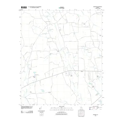
 1971 Sessoms1974 Print · USGSBacon and Coffee County lands are captured here in the early seventies, centered on the Seaboard Coast Line railroad. Genealogists can trace family landmarks like Mercer Cem, Patterson Cem, and the community at Sessoms.2 unique versions available
 - 1971 Map of Denton, 1974 Print
 1971 Denton1974 Print · USGSDenton and its South Georgia surroundings appear in the early 1970s as a landscape defined by the diagonal path of the Central of Georgia railroad. Researchers can trace rural life through landmarks like Wilcox Cemetery and local community centers like Burkett Church.2 unique versions available
 - 1971 Map of Mershon, 1974 Print
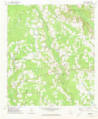
 1971 Mershon1974 Print · USGSThe Bacon and Pierce county line comes alive in the early 1970s, showing a landscape defined by the Alabaha River and rural crossroads. Genealogists can trace family names through sites like Mershon Cem, Friendship Ch, and Walkersville.
 - 1971 Map of Alma NE, 1974 Print
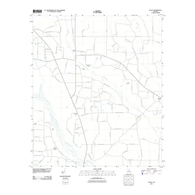
 1971 Alma NE1974 Print · USGSThe rural borderlands of Appling and Bacon County are captured here in the early seventies as small farms and family tracts predominated. Genealogists can trace family lines through the Old Pleasant Grove Cem, Carter Cem, and the Odum Childrens Home.
 - 1971 Map of Crawley, 1974 Print
 1971 Crawley1974 Print · USGSSoutheast Georgia in the early 1970s is defined here by the rural crossroads and wetlands at the meeting of three counties. Genealogists and historians can trace the Seaboard Coast Line through Crawley and Bolen, or locate family sites like Lee Chapel Cem and Old Pine Grove Ch.2 unique versions available
 - 1978 Map of Waycross, 1982 Print
 1978 Waycross1982 Print · USGSSoutheast Georgia in the late seventies is a landscape of vast wetlands and busy rail junctions. Genealogists and local historians can trace the Seaboard Coast Line through rural stops like Millwood and Pearson or locate family sites near the Okefenokee Swamp.
 - 1979 Map of Hazlehurst, 1980 Print
 1979 Hazlehurst1980 Print · USGSSoutheast Georgia in the late seventies is defined by the convergence of major rail lines and river basins in Jeff Davis and Appling counties. Genealogists and local historians can trace the development of Hazlehurst and Baxley alongside features like the Pine Grove Pipeline and the Altamaha River wetlands.
 - 1988 Map of Waycross
 1988 Waycross1988 Print · USGSSouth Georgia's wiregrass and timber country is documented here in the late eighties, centered on the vital rail junction of Waycross. Genealogists and historians can trace the rural landscape from Okefenokee up to the Ocmulgee, finding sites like Lumber City and Jefferson Davis Memorial State Park.
 - 2011 Map of Coffee, 2011 Print
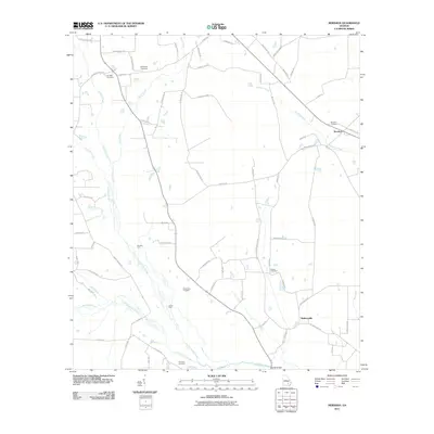
 2011 Coffee2011 Print · USGSCovers Bacon County, including Coffee, Lambright, and other nearby areas
 - 2011 Map of Alma NE, 2011 Print
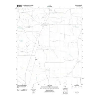
 2011 Alma NE2011 Print · USGSCovers Bacon County, including Baxley, Holmesville, and other nearby areas
 - 2011 Map of Sessoms, 2011 Print
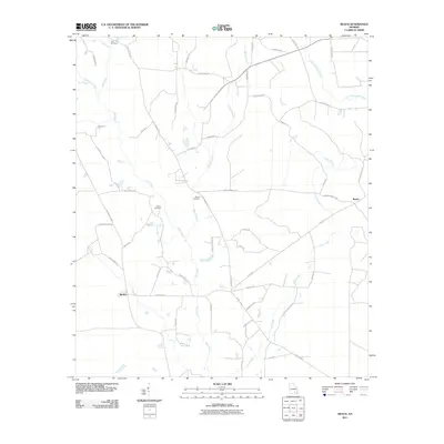
 2011 Sessoms2011 Print · USGSCovers Bacon County, including Alma, Taylortown, and other nearby areas
 - 2011 Map of K'Ville, 2011 Print
 2011 K'Ville2011 Print · USGSCovers Bacon County, including K'Ville, Wayne County, and other nearby areas
 - 2011 Map of Mershon, 2011 Print
 2011 Mershon2011 Print · USGSCovers Bacon County, including Mershon, Walkersville, and other nearby areas
 - 2011 Map of Beach, 2011 Print
 2011 Beach2011 Print · USGSCovers Bacon County, including Bickley, Coffee County, and other nearby areas
 - 2011 Map of Alma, 2011 Print
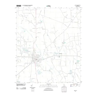 2011 Alma2011 Print · USGSCovers Bacon County, including Alma, Rockingham, and other nearby areas
 - 2011 Map of Denton, 2011 Print
 2011 Denton2011 Print · USGSCovers Bacon County, including Denton, Brooker, and other nearby areas
Showing maps 1-25 of 77
Top cities of Bacon County
Frequently asked questions
- What are the different types of historical maps available for Bacon County?
- What is the oldest map of Bacon County?
- Where can I purchase historical maps of Bacon County for my home or office?
- Where can I download high-res historical maps of Bacon County?
- Are there historical topographic maps available for Bacon County?
- Is there historical aerial imagery available for Bacon County?
- Where are historical maps of Bacon County sourced from?