2000s (21st Century) Maps of Emerson, Georgia
Explore 20 historic maps of Emerson from the 2000s (21st Century). These maps offer a rare glimpse into what life looked like during the 2000s — showing old roads, neighborhoods, homes, and landmarks that have changed or disappeared over time.
Whether you're researching your family's past, planning a metal detecting trip, or studying how Emerson's landscape evolved across the 2000s, these high-resolution maps are a powerful tool for exploring the history of this region.
- Focus on a specific era: All maps on this page are from the 2000s, giving you a focused view of this time period.
- See what’s changed: Compare century-old streets, trails, and buildings to today's modern landscape using overlays and satellite layers.
- Research with precision: Use these maps for genealogy, historical research, land use analysis, or educational projects.
- View, download, or print: Maps are fully viewable online in high resolution, and can be downloaded or printed for your own records.
Start exploring Emerson's history through authentic maps from the 2000s. This is your window into the past.
Emerson, GA maps
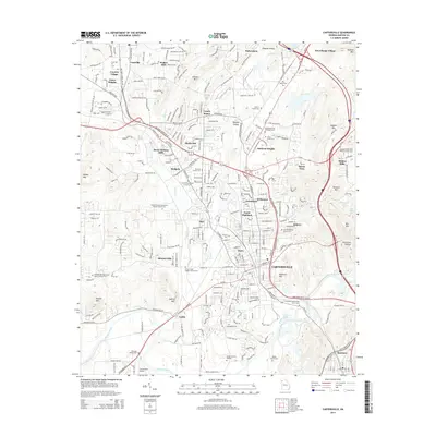
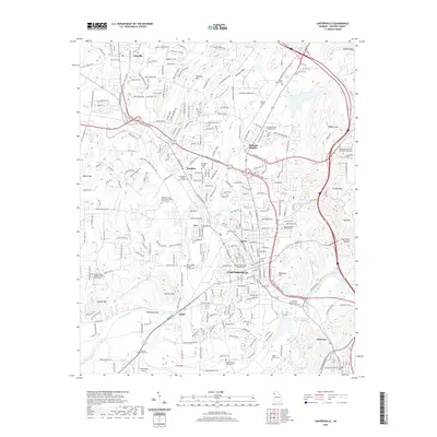
(20)- 2011 Map of Cartersville, 2011 Print
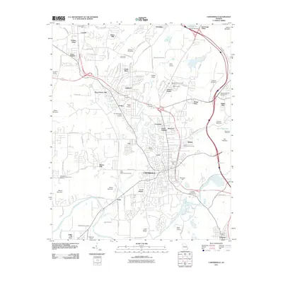 2011 Cartersville2011 Print · USGSCovers Emerson, including Cartersville, Bartow County, and other nearby areas
 - 2011 Map of Burnt Hickory Ridge, 2011 Print
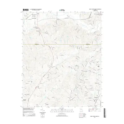
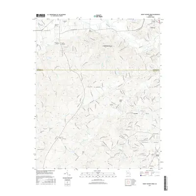
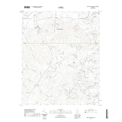
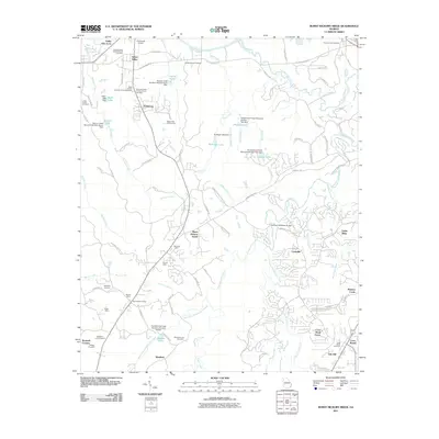 2011 Burnt Hickory Ridge2011 Print · USGSCovers Emerson, including Cartersville, Westfork, and other nearby areas
 - 2011 Map of Acworth, 2011 Print
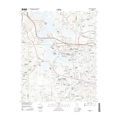
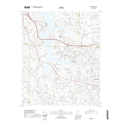
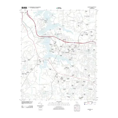 2011 Acworth2011 Print · USGSCovers Emerson, including Kennesaw, Acworth, and other nearby areas
 - 2011 Map of Allatoona Dam, 2011 Print
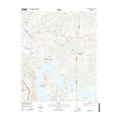
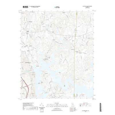
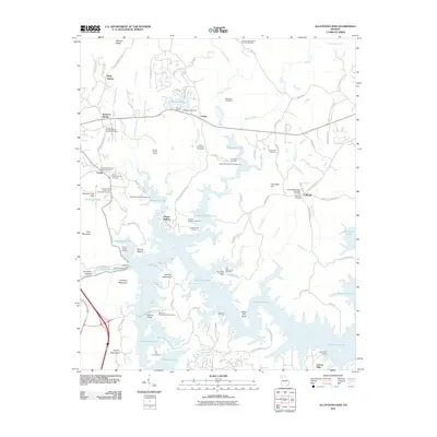 2011 Allatoona Dam2011 Print · USGSCovers Emerson, including Cartersville, Corbin, and other nearby areas
 - 2014 Map of Burnt Hickory Ridge, 2014 Print
 2014 Burnt Hickory Ridge2014 Print · USGSCovers Emerson, including Cartersville, Westfork, and other nearby areas
 - 2014 Map of Allatoona Dam, 2014 Print
 2014 Allatoona Dam2014 Print · USGSCovers Emerson, including Cartersville, Corbin, and other nearby areas
 - 2014 Map of Acworth, 2014 Print
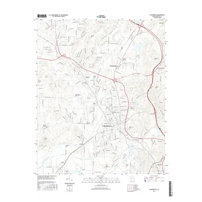
 2014 Acworth2014 Print · USGSCovers Emerson, including Kennesaw, Acworth, and other nearby areas
 - 2014 Map of Cartersville, 2014 Print
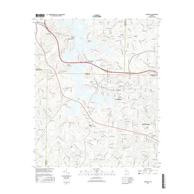
 2014 Cartersville2014 Print · USGSCovers Emerson, including Cartersville, Bartow County, and other nearby areas
 - 2017 Map of Burnt Hickory Ridge, 2017 Print
 2017 Burnt Hickory Ridge2017 Print · USGSCovers Emerson, including Cartersville, Westfork, and other nearby areas
 - 2017 Map of Cartersville, 2017 Print
 2017 Cartersville2017 Print · USGSCovers Emerson, including Cartersville, Bartow County, and other nearby areas
 - 2017 Map of Acworth, 2017 Print
 2017 Acworth2017 Print · USGSCovers Emerson, including Kennesaw, Acworth, and other nearby areas
 - 2017 Map of Allatoona Dam, 2017 Print
 2017 Allatoona Dam2017 Print · USGSCovers Emerson, including Cartersville, Corbin, and other nearby areas
 - 2020 Map of Allatoona Dam, 2020 Print
 2020 Allatoona Dam2020 Print · USGSCovers Emerson, including Cartersville, Corbin, and other nearby areas
 - 2020 Map of Acworth, 2020 Print
 2020 Acworth2020 Print · USGSCovers Emerson, including Kennesaw, Acworth, and other nearby areas
 - 2020 Map of Cartersville, 2020 Print
 2020 Cartersville2020 Print · USGSCovers Emerson, including Cartersville, Bartow County, and other nearby areas
 - 2020 Map of Burnt Hickory Ridge, 2020 Print
 2020 Burnt Hickory Ridge2020 Print · USGSCovers Emerson, including Cartersville, Westfork, and other nearby areas
 - 2024 Map of Allatoona Dam, 2024 Print
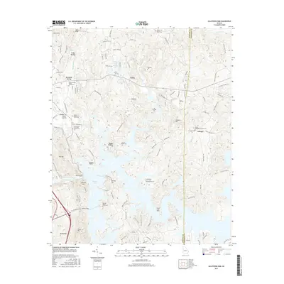
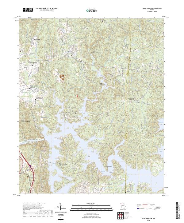 2024 Allatoona Dam2024 Print · USGSBartow County's rugged shoreline and rural ridges are captured here as the modern landscape of the Etowah River valley meets its deep history. Genealogists can trace family names at the Alexander Cem, Furnace-Goodson Cem, or the old crossing at Webster Ferry.
 - 2024 Map of Acworth, 2024 Print
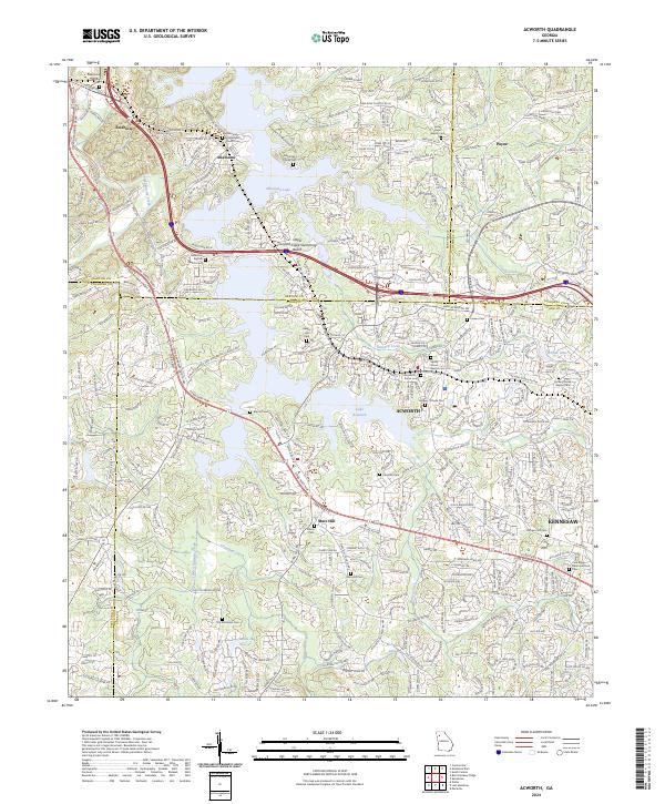 2024 Acworth2024 Print · USGSAcworth and the Etowah River basin are shown here in the 2020s, where suburban growth meets the expansive waters of Allatoona Lake. Researchers can trace dozens of local burial sites and landmarks, including Mars Hill Cem, the McKinney Family Cem, and the BNSF Railway corridor.
 - 2024 Map of Cartersville, 2024 Print
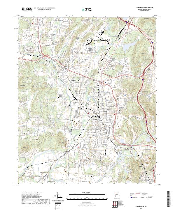 2024 Cartersville2024 Print · USGSBartow County shows its modern character in this recent survey, centered on the growing corridors of Cartersville and Emerson. Genealogists and historians can trace numerous family landmarks, from the John J Smith Family Cem to the Bartow County Courthouse.
 - 2024 Map of Burnt Hickory Ridge, 2024 Print
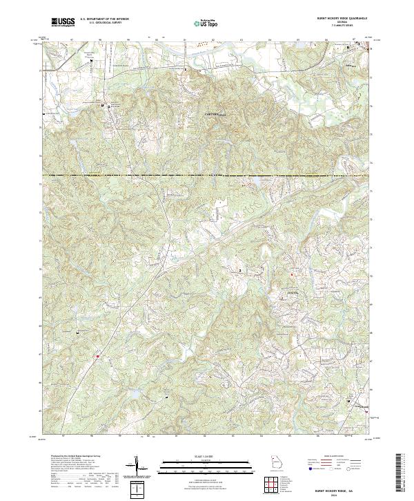 2024 Burnt Hickory Ridge2024 Print · USGSNorthwest Georgia's landscape at the Bartow-Paulding line is detailed here, showing the area as it transitions from rural terrain to suburban development. Researchers can locate numerous family burial sites like the Lucas Family Cem and Douthit Family Cem near the Etowah River.
End of results
Showing maps 1-20 of 20
Top cities near Emerson
- Marietta historical maps
- Smyrna historical maps
- Kennesaw historical maps
- Woodstock historical maps
- Canton historical maps
- Acworth historical maps
See more
Frequently asked questions
- What are the different types of historical maps available for Emerson?
- What is the oldest map of Emerson?
- Where can I purchase historical maps of Emerson for my home or office?
- Where can I download high-res historical maps of Emerson?
- Are there historical topographic maps available for Emerson?
- Is there historical aerial imagery available for Emerson?
- Where are historical maps of Emerson sourced from?