2000s (21st Century) Maps of Flovilla, Georgia
Explore 10 historic maps of Flovilla from the 2000s (21st Century). These maps offer a rare glimpse into what life looked like during the 2000s — showing old roads, neighborhoods, homes, and landmarks that have changed or disappeared over time.
Whether you're researching your family's past, planning a metal detecting trip, or studying how Flovilla's landscape evolved across the 2000s, these high-resolution maps are a powerful tool for exploring the history of this region.
- Focus on a specific era: All maps on this page are from the 2000s, giving you a focused view of this time period.
- See what’s changed: Compare century-old streets, trails, and buildings to today's modern landscape using overlays and satellite layers.
- Research with precision: Use these maps for genealogy, historical research, land use analysis, or educational projects.
- View, download, or print: Maps are fully viewable online in high resolution, and can be downloaded or printed for your own records.
Start exploring Flovilla's history through authentic maps from the 2000s. This is your window into the past.
Flovilla, GA maps
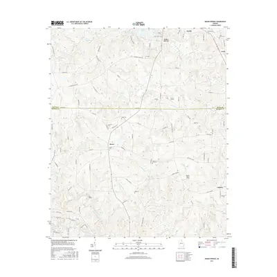
(10)- 2011 Map of Indian Springs, 2011 Print
 2011 Indian Springs2011 Print · USGSCovers Flovilla, including Blount, Cabaniss, and other nearby areas
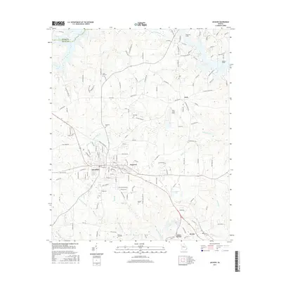
 - 2011 Map of Jackson, 2011 Print
 2011 Jackson2011 Print · USGSCovers Flovilla, including Jackson, Iron Springs Crossroads, and other nearby areas
 - 2014 Map of Indian Springs, 2014 Print
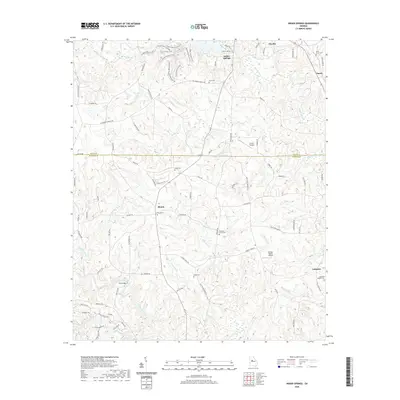
 2014 Indian Springs2014 Print · USGSCovers Flovilla, including Blount, Cabaniss, and other nearby areas
 - 2014 Map of Jackson, 2014 Print
 2014 Jackson2014 Print · USGSCovers Flovilla, including Jackson, Iron Springs Crossroads, and other nearby areas
 - 2017 Map of Jackson, 2017 Print
 2017 Jackson2017 Print · USGSCovers Flovilla, including Jackson, Iron Springs Crossroads, and other nearby areas
 - 2017 Map of Indian Springs, 2017 Print
 2017 Indian Springs2017 Print · USGSCovers Flovilla, including Blount, Cabaniss, and other nearby areas
 - 2020 Map of Indian Springs, 2020 Print
 2020 Indian Springs2020 Print · USGSCovers Flovilla, including Blount, Cabaniss, and other nearby areas
 - 2020 Map of Jackson, 2020 Print
 2020 Jackson2020 Print · USGSCovers Flovilla, including Jackson, Iron Springs Crossroads, and other nearby areas
 - 2024 Map of Indian Springs, 2024 Print
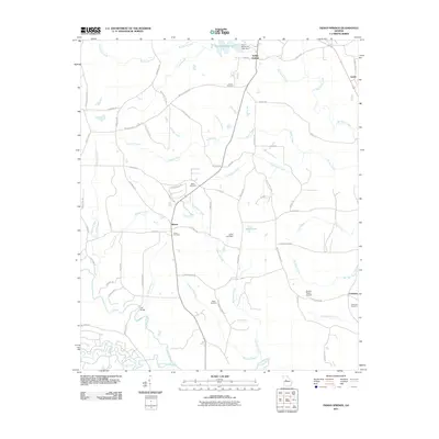
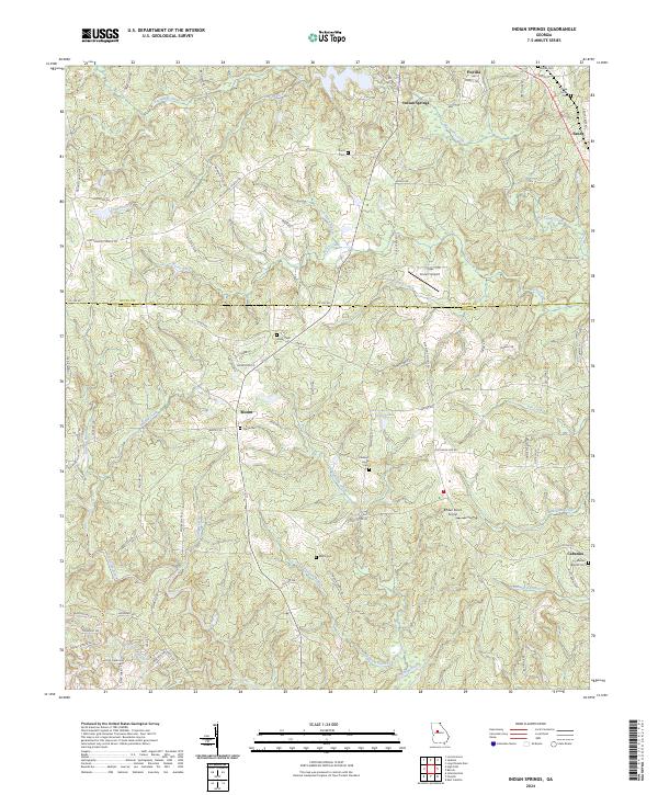 2024 Indian Springs2024 Print · USGSMonroe and Butts Counties are captured here in the early twenty-first century, showing the rural landscape around the Towaliga River. Researchers can trace family history through numerous burial sites like Flovilla Cemetery and Paron Cemetery or locate the quiet crossroads of Blount and Cabaniss.
 - 2024 Map of Jackson, 2024 Print
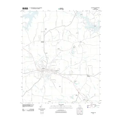
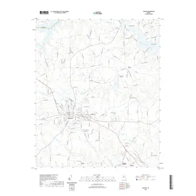
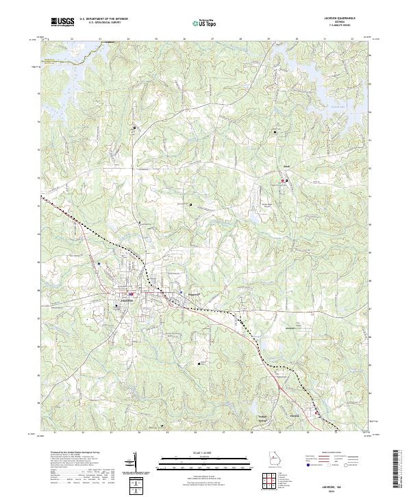 2024 Jackson2024 Print · USGSJackson and its surrounding Butts County communities are shown here in the 2020s, highlighting the intersection of local government and rural landscape. Genealogists can trace family sites at Jackson City Cem, Grier Cem, and the Macedonia Baptist Church Cem.
End of results
Showing maps 1-10 of 10
Top cities near Flovilla
- McDonough historical maps
- Locust Grove historical maps
- Barnesville historical maps
- Jackson historical maps
- Forsyth historical maps
- Monticello historical maps
See more
Frequently asked questions
- What are the different types of historical maps available for Flovilla?
- What is the oldest map of Flovilla?
- Where can I purchase historical maps of Flovilla for my home or office?
- Where can I download high-res historical maps of Flovilla?
- Are there historical topographic maps available for Flovilla?
- Is there historical aerial imagery available for Flovilla?
- Where are historical maps of Flovilla sourced from?