Old Maps of Metter, Georgia
Explore 17 old maps of Metter, spanning from 1957 to today. These high-resolution historic maps reveal how streets, neighborhoods, landmarks, and natural features evolved over time — perfect for genealogy, metal detecting, research, and local history exploration.
What you can do with these maps:
- See how Metter changed over time: Compare historical maps to modern-day views to trace roads, homesites, rail lines & more.
- View detailed metadata: Each map includes creators, publishers, year, scale, and archive source.
- Overlay maps with satellite & LiDAR: Visualize the past alongside modern tools to explore terrain & human change.
- Trusted historical sources: Maps sourced from the USGS, Library of Congress, and other archives.
- Access maps your way: View online, download high-res files, or order prints for personal or research use.
Start exploring old maps of Metter to uncover forgotten places, hidden landmarks, and the deep history beneath your feet.
Metter, GA maps
(17)- 1957 Map of Macon
 1957 Macon1957 Print · USGSMid-century Georgia comes into focus as the river-and-rail economy shifts toward a new era of aviation and highway travel. Trace family roots and vanished landmarks across the Ocmulgee River valley from Macon to the onion fields of Vidalia.
 - 1958 Map of Macon
 1958 Macon1958 Print · USGSMiddle Georgia during the late fifties shows the post-war expansion of Warner Robins alongside the deep-rooted rail hubs of the Central of Georgia line. Researchers can trace the river-bound boundaries of numerous counties and find local landmarks like Veterans Memorial Hospital and Robins AFB.
 - 1964 Map of Macon
 1964 Macon1964 Print · USGSCentral Georgia in the mid-sixties is defined by its major river valleys and a booming military presence. Genealogists and historians can trace the growth of Warner Robins near Robins AFB or locate smaller rural junctions like Allentown and Jeffersonville along the historic Southern railroad lines.2 unique versions available
 - 1970 Map of Metter, 1973 Print
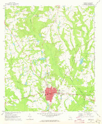 1970 Metter1973 Print · USGSInland Georgia in the early seventies centers on the growing city of Metter and its connection to the Central of Georgia railroad. Researchers can trace rural lineages through family landmarks like Olliff Cem and Rosemary Ch, or locate local hubs like the Drive-in Theater.2 unique versions available
 - 1970 Map of Metter SE, 1973 Print
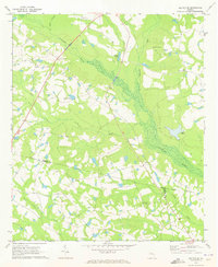 1970 Metter SE1973 Print · USGSCandler County in the early seventies is a landscape of winding river bottoms and rural congregations. Genealogists and local historians can trace the foundations of the community through landmarks like Primitive Grove Ch, Everitt Cem, and Metter Airport.2 unique versions available
 - 1979 Map of Vidalia, 1980 Print
 1979 Vidalia1980 Print · USGSSoutheast Georgia in the late 1970s is a landscape of river-bend settlements and crossing rail lines. Researchers can trace family roots and land patterns through several towns like Vidalia, Soperton, and Mount Vernon, or locate regional landmarks like the State Prison.2 unique versions available
 - 1988 Map of Macon, 1989 Print
 1988 Macon1989 Print · USGSCentral Georgia is captured during the late eighties, showing the expansive river systems and growing urban hubs of the regional interior. Genealogists and historians can trace the paths of the Central of Georgia Railroad and locate communities like Warner Robbins, Dublin, and Sandersville.
 - 2011 Map of Metter, 2011 Print
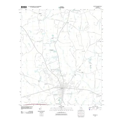 2011 Metter2011 Print · USGSCovers Metter, including Shamrock, Olifftown, and other nearby areas
 - 2011 Map of Metter SE, 2011 Print
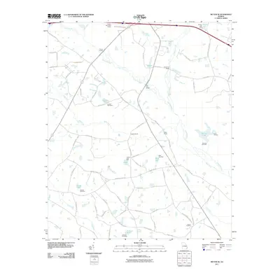 2011 Metter SE2011 Print · USGSCovers Metter, including Tattnall County, Candler County, and other nearby areas
 - 2014 Map of Metter SE, 2014 Print
 2014 Metter SE2014 Print · USGSCovers Metter, including Tattnall County, Candler County, and other nearby areas
 - 2014 Map of Metter, 2014 Print
 2014 Metter2014 Print · USGSCovers Metter, including Shamrock, Olifftown, and other nearby areas
 - 2017 Map of Metter, 2017 Print
 2017 Metter2017 Print · USGSCovers Metter, including Shamrock, Olifftown, and other nearby areas
 - 2017 Map of Metter SE, 2017 Print
 2017 Metter SE2017 Print · USGSCovers Metter, including Tattnall County, Candler County, and other nearby areas
 - 2020 Map of Metter, 2020 Print
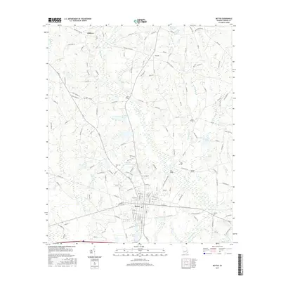
 2020 Metter2020 Print · USGSCovers Metter, including Shamrock, Olifftown, and other nearby areas
 - 2020 Map of Metter SE, 2020 Print
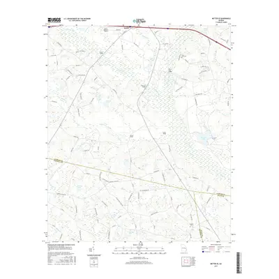
 2020 Metter SE2020 Print · USGSCovers Metter, including Tattnall County, Candler County, and other nearby areas
 - 2024 Map of Metter SE, 2024 Print
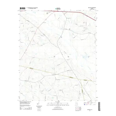
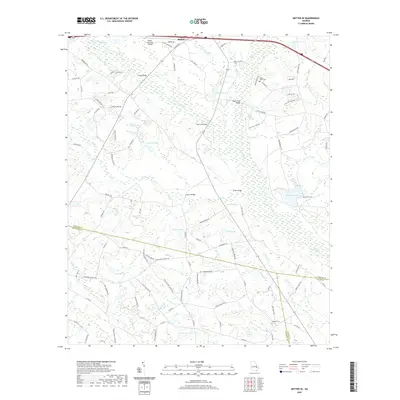
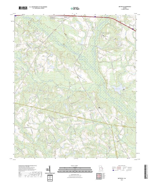 2024 Metter SE2024 Print · USGSSoutheast of Metter in the early twenty-first century, this landscape is defined by the winding Canoochee River and a complex web of rural county lines. Researchers can locate family landmarks and burial sites like Dixon Grove Cem or trace the waters of Wolfe Creek and Laniers Pond.
 - 2024 Map of Metter, 2024 Print
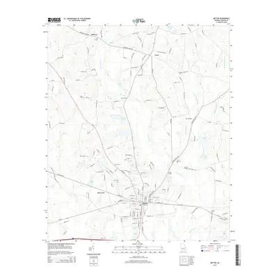
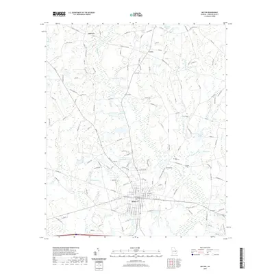
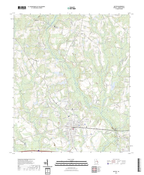 2024 Metter2024 Print · USGSCandler County is shown in detail during its modern era, centered on the historic seat of Metter. Researchers can trace local heritage through numerous burial sites like Rosemary Church Cem and landmarks such as the Candler County Courthouse.
End of results
Showing maps 1-17 of 17
Top cities near Metter
- Lyons historical maps
- Claxton historical maps
- Twin City historical maps
- Stillmore historical maps
- Portal historical maps
- Collins historical maps
See more
Top neighborhoods of Metter
Frequently asked questions
- What are the different types of historical maps available for Metter?
- What is the oldest map of Metter?
- Where can I purchase historical maps of Metter for my home or office?
- Where can I download high-res historical maps of Metter?
- Are there historical topographic maps available for Metter?
- Is there historical aerial imagery available for Metter?
- Where are historical maps of Metter sourced from?