2020s Maps of Metter, Georgia
Explore 4 historic maps of Metter from the 2020s. These maps offer a rare glimpse into what life looked like during the 2020s — showing old roads, neighborhoods, homes, and landmarks that have changed or disappeared over time.
Whether you're researching your family's past, planning a metal detecting trip, or studying how Metter's landscape evolved across the 2020s, these high-resolution maps are a powerful tool for exploring the history of this region.
- Focus on a specific era: All maps on this page are from the 2020s, giving you a focused view of this time period.
- See what’s changed: Compare century-old streets, trails, and buildings to today's modern landscape using overlays and satellite layers.
- Research with precision: Use these maps for genealogy, historical research, land use analysis, or educational projects.
- View, download, or print: Maps are fully viewable online in high resolution, and can be downloaded or printed for your own records.
Start exploring Metter's history through authentic maps from the 2020s. This is your window into the past.
Metter, GA maps
(4)- 2020 Map of Metter, 2020 Print
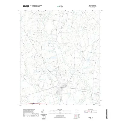 2020 Metter2020 Print · USGSCovers Metter, including Shamrock, Olifftown, and other nearby areas
 - 2020 Map of Metter SE, 2020 Print
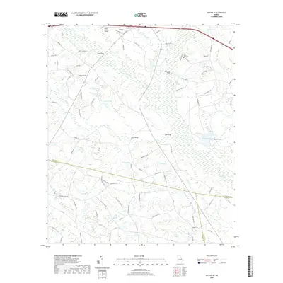 2020 Metter SE2020 Print · USGSCovers Metter, including Tattnall County, Candler County, and other nearby areas
 - 2024 Map of Metter SE, 2024 Print
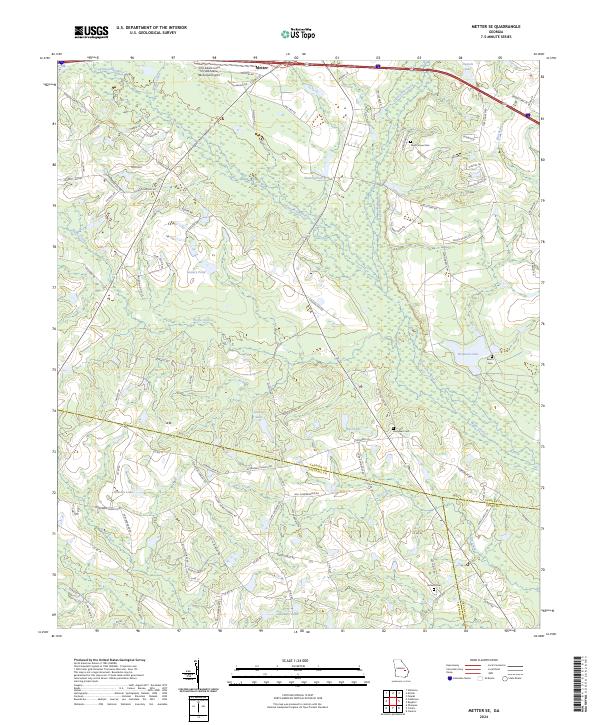 2024 Metter SE2024 Print · USGSSoutheast of Metter in the early twenty-first century, this landscape is defined by the winding Canoochee River and a complex web of rural county lines. Researchers can locate family landmarks and burial sites like Dixon Grove Cem or trace the waters of Wolfe Creek and Laniers Pond.
 - 2024 Map of Metter, 2024 Print
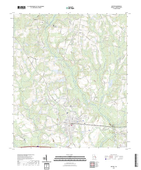 2024 Metter2024 Print · USGSCandler County is shown in detail during its modern era, centered on the historic seat of Metter. Researchers can trace local heritage through numerous burial sites like Rosemary Church Cem and landmarks such as the Candler County Courthouse.
End of results
Showing maps 1-4 of 4
Top cities near Metter
- Lyons historical maps
- Claxton historical maps
- Twin City historical maps
- Stillmore historical maps
- Portal historical maps
- Collins historical maps
See more
Top neighborhoods of Metter
Frequently asked questions
- What are the different types of historical maps available for Metter?
- What is the oldest map of Metter?
- Where can I purchase historical maps of Metter for my home or office?
- Where can I download high-res historical maps of Metter?
- Are there historical topographic maps available for Metter?
- Is there historical aerial imagery available for Metter?
- Where are historical maps of Metter sourced from?