Old Maps of Catoosa County, Georgia for Metal Detecting
Plan your next treasure hunt with 74 historic maps of Catoosa County. Find old homesites, ghost towns, trails, and gathering spots that may be lost to time — perfect for identifying promising metal detecting locations.
- Locate forgotten sites: Uncover places like long-lost settlements, abandoned rail lines, or gathering spots.
- Plan better hunts: Use map overlays combined with LiDAR or satellite views to narrow in on historically rich areas.
- Made for detectorists: Thousands of hobbyists use these maps to discover relics, coins, and hidden history.
Use these historic maps to boost your research and find new opportunities beneath the surface of Catoosa County.
Catoosa County, GA maps
(74)- 1886 Map of Dalton
 1886 Dalton1886 Print · USGSNorthwest Georgia in the 1880s is a landscape of mountain gaps and vital river ferries. Trace family roots and vanished infrastructure from Dalton to Spring Place, including named landmarks like Shackelfords Ferry and Fort Mountain.
 - 1886 Map of Ringgold
 1886 Ringgold1886 Print · USGSNorthwest Georgia in the 1880s was a landscape of industrial river valleys and steep ridges defined by early rail lines. Local historians can trace family-named landmarks like Gilreath's Mill, the Trion Factory textile site, and the rural stop at Tap's Store.
 - 1892 Map of Ringgold
 1892 Ringgold1892 Print · USGSNorth Georgia and the Tennessee border are mapped here in the late nineteenth century as the region transitioned into a post-war rail and tourism hub. Researchers can trace the early National Park boundaries, industrial Coal Mines, and vanished stops like High Point or Lisbon Sta..9 unique versions available
 - 1892 Map of Dalton
 1892 Dalton1892 Print · USGSNorthwest Georgia in the late nineteenth century was defined by its river crossings and the emerging rail lines through Dalton. Researchers can trace the Federal Road and locate family landmarks like Newtown Ferry or Talking Rock Mills.
 - 1897 Map of Dalton
 1897 Dalton1897 Print · USGSNorthwest Georgia in the late nineteenth century was a rugged landscape of river crossings and mountain gaps. Genealogists can trace early homesteads and commerce at Praters Mill, Spring Place, and historic river crossings like Montgomery Ferry.4 unique versions available
 - 1935 Map of East Ridge
 1935 East Ridge1935 Print · USGSThe Georgia-Tennessee borderlands appear here in the mid-1930s, showing the intersection of military history and rural development. You can trace the early layout of East Ridge and locate family landmarks like Lomemick Cem, Burning Bush Sch, and Boynton.
 - 1935 Map of Tiger Creek
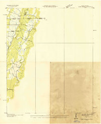 1935 Tiger Creek1935 Print · USGSThe Tennessee and Georgia borderlands meet along the ridges of Whitfield and Catoosa counties in the mid-1930s. Genealogists and historians can trace family land along Tiger Creek and locate the Southern railroad crossing at White Cut.
 - 1935 Map of Ringgold
 1935 Ringgold1935 Print · USGSThe Georgia-Tennessee borderlands in the mid-1930s are anchored by the town of Ringgold and the central Military Reservation. Genealogists and historians can trace community roots at Salem Ch, Ebenezer Ch, and the rural Union Academy.
 - 1935 Map of Nickajack Gap
 1935 Nickajack Gap1935 Print · USGSCatoosa and Walker Counties are captured in the mid-1930s as a landscape of ridges and rural settlements. Researchers can locate family landmarks like Mc Intyre Cem, Peavine Ch, and the school at Mt Pisgah Sch.
 - 1935 Map of Tunnel Hill
 1935 Tunnel Hill1935 Print · USGSNorthwest Georgia's ridge-and-valley landscape is captured here in the mid-1930s as the rail and highway networks evolved. Genealogists and historians can trace family-named sites like Foster Cem, old schoolhouses such as West Side Sch, and the landmark Chetoogeta Mountain Tunnel.
 - 1936 Map of Kensington
 1936 Kensington1936 Print · USGSWalker County during the mid-1930s shows a landscape of ridge-and-valley settlements connected by the Central of Georgia line. Genealogists and historians can trace family locations near Old Lookout Cem, Pond Spring, and the Gordon Lee Sch.
 - 1936 Map of Fort Oglethorpe
 1936 Fort Oglethorpe1936 Print · USGSThe Georgia-Tennessee borderlands appear here in the mid-1930s, featuring the extensive grounds of the Chickamauga battlefield and the early development of Lookout Mountain. Researchers can locate historic farmsteads and monuments such as the Snodgrass House, the Lee and Gordon Mill, and Rock City Gardens.
 - 1938 Map of Chatsworth
 1938 Chatsworth1938 Print · USGSMurray and Whitfield counties in the late 1930s show a landscape of river-crossing culture and early aviation infrastructure. Researchers can locate family landmarks like Praters Mill, rural schools such as Deep Springs Sch, and historic river points including Harris Ford.3 unique versions available
 - 1942 Map of Fort Oglethorpe, 1946 Print
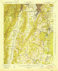 1942 Fort Oglethorpe1946 Print · USGSThe Tennessee-Georgia borderlands are captured here during the early 1940s, highlighting the transition from historic battlefields to growing residential communities. Genealogists and historians can trace family-named sites like Snodgrass House, McCallie Lake, and Lee and Gordon Mill.3 unique versions available
 - 1943 Map of Dalton
 1943 Dalton1943 Print · USGSWhitfield and Murray counties come alive in the 1940s, showing the early industrial growth of the carpet capital and the surrounding farming settlements. Researchers can locate family landmarks like Praters Mill, Gregorys Mill, and the many rural sites such as Shiloh Ch or Oak Grove Sch.2 unique versions available
 - 1943 Map of Tunnel Hill, 1946 Print
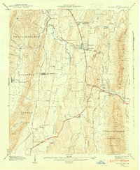 1943 Tunnel Hill1946 Print · USGSWhitfield and Catoosa Counties are shown here during the mid-1940s, a period when mountain ridges still dictated the flow of commerce and travel. Genealogists and historians can locate numerous small churches and family landmarks like New Hope Ch, Callaway Mill, and the Chattanooga and Nashville Railroad tunnel.5 unique versions available
 - 1943 Map of East Ridge, 1957 Print
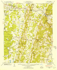 1943 East Ridge1957 Print · USGSThe Tennessee-Georgia borderlands come to life in the 1940s as a landscape of rural schools, family cemeteries, and military reservations. Genealogists can trace family roots through Lomenick Cem, Boynton, and landmarks like Burning Bush Sch.
 - 1946 Map of Ringgold, 1947 Print
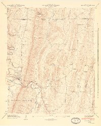 1946 Ringgold1947 Print · USGSCatoosa County is captured here just after the war, showing the industrial and agricultural landscape surrounding Ringgold. Genealogists can trace family sites like the Anderson Cem, Union Academy, and Cherokee Valley Church.5 unique versions available
 - 1946 Map of East Ridge, 1947 Print
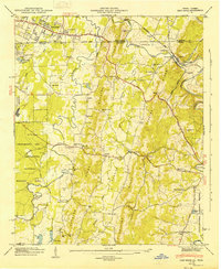 1946 East Ridge1947 Print · USGSThe Tennessee and Georgia borderlands come alive in the mid-forties as postwar expansion reaches into the ridges south of Chattanooga. Genealogists and historians can trace family sites like Newnan Spring Cem, old landmarks like Swanson Mill, and the early footprint of Lake Winnepesaukah.2 unique versions available
 - 1946 Map of Kensington, 1947 Print
 1946 Kensington1947 Print · USGSWalker County during the mid-forties is captured here as a landscape of ridge-top vistas and rail-connected valley towns. Genealogists and researchers can locate family sites like Owings Cem, the Gordon Lee School, and the old works at Hall Mill.6 unique versions available
 - 1946 Map of Nickajack Gap, 1947 Print
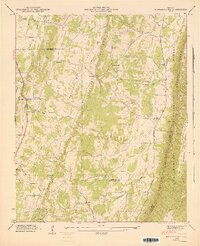 1946 Nickajack Gap1947 Print · USGSNorth Georgia’s ridge-and-valley corridor is captured here in the mid-1940s, showing a landscape of railway junctions and rural farmsteads. Genealogists can trace family connections through sites like Yates Cem, Rock Spring Sch, and the community of Wood Station.5 unique versions available
 - 1955 Map of Rome
 1955 Rome1955 Print · USGSThe tri-state borderlands of Georgia, Alabama, and Tennessee appear in the mid-fifties as a landscape of ridge-and-valley industry and river navigation. Genealogists can trace family footprints near Chattanooga, the iron works of Gadsden, and textile towns like Trion or Summerville.
 - 1958 Map of East Ridge, 1959 Print
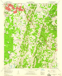 1958 East Ridge1959 Print · USGSCrossing the Tennessee and Georgia border in the late fifties, this area shows the development around East Ridge and the National Military Park. Genealogists can trace family landmarks like Newman Springs Cem, Shiloh Ch, and Swanson Mill.2 unique versions available
 - 1958 Map of Fort Oglethorpe, 1959 Print
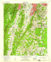 1958 Fort Oglethorpe1959 Print · USGSCrossing the state line in the late fifties, this survey captures the convergence of Civil War memory and mid-century suburbanization. Trace historical sites within the National Military Park or locate family roots near Shields Crossroads and Blowing Spring.2 unique versions available
 - 1958 Map of Rome, 1966 Print
 1958 Rome1966 Print · USGSNorthwest Georgia and neighboring Tennessee and Alabama are captured here in the late fifties, showcasing a landscape of high ridges and river valleys. Researchers can trace historic rail lines like the Seaboard Air Line RR and explore the bounds of Cloudland Canyon State Park or Fort Oglethorpe.3 unique versions available
Showing maps 1-25 of 74
Top cities of Catoosa County
Frequently asked questions
- What are the different types of historical maps available for Catoosa County?
- What is the oldest map of Catoosa County?
- Where can I purchase historical maps of Catoosa County for my home or office?
- Where can I download high-res historical maps of Catoosa County?
- Are there historical topographic maps available for Catoosa County?
- Is there historical aerial imagery available for Catoosa County?
- Where are historical maps of Catoosa County sourced from?