Old Maps of Bluffton, Georgia for Academic Research
Study the evolution of Bluffton with 16 high-resolution historic maps. Whether you're teaching, researching, or modeling changes in land use, these maps provide essential visual documentation of urban, environmental, and geographic change.
- Analyze long-term change: Track patterns in development, transportation, and natural features.
- Ideal for environmental or urban studies: Support academic projects with primary historical map data.
- Use in the classroom or lab: Educators and researchers rely on these maps to bring historical context to life.
These maps are a powerful tool for teaching, research, and visualizing how Bluffton has changed over the decades.
Bluffton, GA maps
(16)- 1953 Map of Dothan, 1966 Print
 1953 Dothan1966 Print · USGSSoutheast Alabama and Southwest Georgia are captured during a period of massive hydraulic and military expansion in the mid-fifties. Genealogists and historians can trace rural landmarks like Antioch Church and School, the Andrew Jackson Monument, and the early footprint of Fort Rucker Military Reservation.3 unique versions available
 - 1954 Map of Dothan
 1954 Dothan1954 Print · USGSSoutheast Alabama and Southwest Georgia are seen here in the mid-fifties, during a decade of military expansion and rural transition. Genealogists can trace the location of country schools like Little Zion School or the grounds of Kolomoki Mounds State Park.
 - 1955 Map of Dothan
 1955 Dothan1955 Print · USGSSoutheast Alabama and Southwest Georgia are captured here in the mid-fifties, showing a landscape of river-port history and growing military bases. Researchers can trace rural life via the Andrew Jackson Monument, Bauxite mines, and the Central of Georgia RR.
 - 1973 Map of Bluffton, 1975 Print
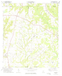 1973 Bluffton1975 Print · USGSBluffton and its surrounding agricultural communities in Clay County are shown here in the early seventies, just after the field checks of the previous years. Genealogists and local historians can trace the locations of Friendship Ch, County Sch No 2, and the Seaboard Coast Line railroad.
 - 1973 Map of Zetto, 1975 Print
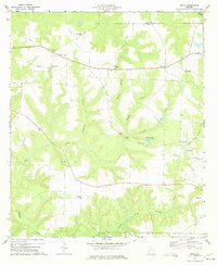 1973 Zetto1975 Print · USGSClay County and its neighbors in the early seventies remain a landscape of rural congregations and small agricultural hubs. Genealogists and local historians can trace the exact locations of many country landmarks, from the Clay Lookout Tower to Wesley Chapel and Harrisons Mill.
 - 1981 Map of Albany, 1982 Print
 1981 Albany1982 Print · USGSSouthwest Georgia in the early eighties was a region defined by its rail hubs and winding river systems. Here you can trace the agricultural landscape from Albany to Dawson, locating sites like Radium Springs, the U S Naval Reservation, and the historic junction at Shellman.
 - 2011 Map of Zetto, 2011 Print
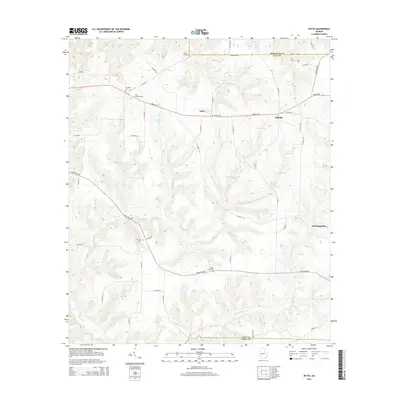
 2011 Zetto2011 Print · USGSCovers Bluffton, including Zetto, Harrisons Mill, and other nearby areas
 - 2011 Map of Bluffton, 2011 Print
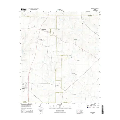
 2011 Bluffton2011 Print · USGSCovers Bluffton, including Edison, Suttons Corner, and other nearby areas
 - 2014 Map of Zetto, 2014 Print
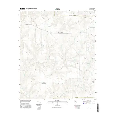
 2014 Zetto2014 Print · USGSCovers Bluffton, including Zetto, Harrisons Mill, and other nearby areas
 - 2014 Map of Bluffton, 2014 Print
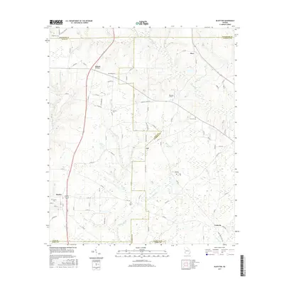
 2014 Bluffton2014 Print · USGSCovers Bluffton, including Edison, Suttons Corner, and other nearby areas
 - 2017 Map of Bluffton, 2017 Print
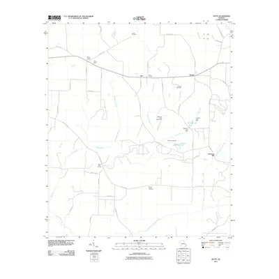
 2017 Bluffton2017 Print · USGSCovers Bluffton, including Edison, Suttons Corner, and other nearby areas
 - 2017 Map of Zetto, 2017 Print
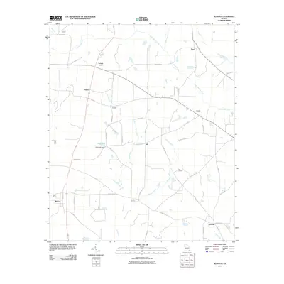
 2017 Zetto2017 Print · USGSCovers Bluffton, including Zetto, Harrisons Mill, and other nearby areas
 - 2020 Map of Zetto, 2020 Print
 2020 Zetto2020 Print · USGSCovers Bluffton, including Zetto, Harrisons Mill, and other nearby areas
 - 2020 Map of Bluffton, 2020 Print
 2020 Bluffton2020 Print · USGSCovers Bluffton, including Edison, Suttons Corner, and other nearby areas
 - 2024 Map of Zetto, 2024 Print
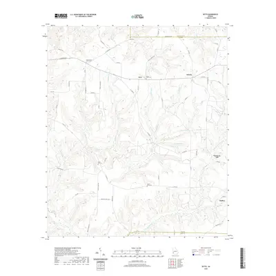
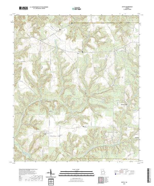 2024 Zetto2024 Print · USGSClay County's rural farming landscape is captured in this recent survey of western Georgia. Researchers can locate numerous family and community landmarks, including Harrisons Mill, Mount Zion Cem, and the quiet crossroads of Zetto.
 - 2024 Map of Bluffton, 2024 Print
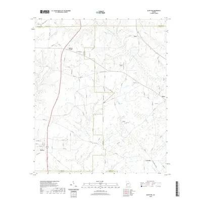
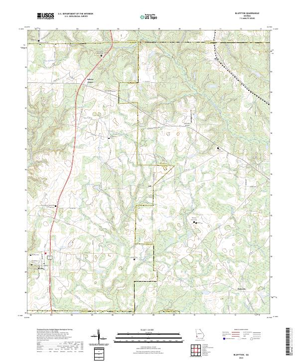 2024 Bluffton2024 Print · USGSBluffton and the surrounding Georgia countryside are captured here at the intersection of four counties. Researchers can trace the legacy of local families through numerous sites like Enon Baptist Church Cem, Suttons Corner, and Mars Hill Cem.
End of results
Showing maps 1-16 of 16
Top cities near Bluffton
- Blakely historical maps
- Arlington historical maps
- Edison historical maps
- Fort Gaines historical maps
- Columbia historical maps
- Damascus historical maps
See more
Frequently asked questions
- What are the different types of historical maps available for Bluffton?
- What is the oldest map of Bluffton?
- Where can I purchase historical maps of Bluffton for my home or office?
- Where can I download high-res historical maps of Bluffton?
- Are there historical topographic maps available for Bluffton?
- Is there historical aerial imagery available for Bluffton?
- Where are historical maps of Bluffton sourced from?