Old Maps of Doerun, Georgia for Genealogy
Trace your family roots with 11 historic maps of Doerun. These high-res maps reveal old neighborhoods, homesites, landmarks, and streets — helping you uncover where your ancestors lived and how the area evolved over time.
- Explore historic neighborhoods: Identify where your relatives may have lived in the 1800s or 1900s.
- Compare maps over time: Trace the changes in streets, buildings, and landmarks for multi-generational research.
- Perfect for genealogy & ancestry research: Used by family historians and researchers to map out lineage and migration.
These maps are an incredible resource for exploring your personal connection to Doerun's past.
Doerun, GA maps
(11)- 1953 Map of Waycross, 1967 Print
 1953 Waycross1967 Print · USGSSouth Georgia's agricultural and rail heartland is captured here in the mid-1950s, showing a vast network of timber and farming towns. Researchers can trace the rail lines connecting Waycross and Tifton or locate landmarks like Jefferson Davis State Park and Lake Blackshear.2 unique versions available
 - 1956 Map of Doerun, 1958 Print
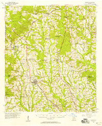 1956 Doerun1958 Print · USGSIn the mid-1950s, the rural borderlands of Colquitt, Worth, and Mitchell counties were connected by a dense rail-and-river network. Genealogists and local historians can trace family landmarks and vanished schools from Doerun to Bridgeboro, including Parkerville Sch and the Evergreen Cem.
 - 1958 Map of Waycross
 1958 Waycross1958 Print · USGSSoutheast Georgia in the late fifties remains a landscape of deep river basins and vital rail junctions. Genealogists and historians can trace family-named landmarks and rural hubs like Union Church, South Georgia College, and the sprawling Okefenokee Swamp.2 unique versions available
 - 1974 Map of Doerun, 1976 Print
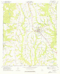 1974 Doerun1976 Print · USGSThe rural agricultural landscapes of Colquitt and Worth counties are captured here in the mid-1970s. Genealogists and historians can trace family roots through sites like Hillcrest Sch, the community at Minnesota, and cemeteries including Smith Cem.
 - 1979 Map of Moultrie, 1980 Print
 1979 Moultrie1980 Print · USGSSouth Georgia’s agricultural heartland is documented here in the late 1970s, showcasing the intricate rail and river networks of Colquitt and Tift Counties. Researchers can trace historic settlements along the Georgia Northern railroad or locate landmarks like Spence Air Force Auxiliary Field and Banks Lake.2 unique versions available
 - 1988 Map of Waycross
 1988 Waycross1988 Print · USGSSouth Georgia's wiregrass and timber country is documented here in the late eighties, centered on the vital rail junction of Waycross. Genealogists and historians can trace the rural landscape from Okefenokee up to the Ocmulgee, finding sites like Lumber City and Jefferson Davis Memorial State Park.
 - 2011 Map of Doerun, 2011 Print
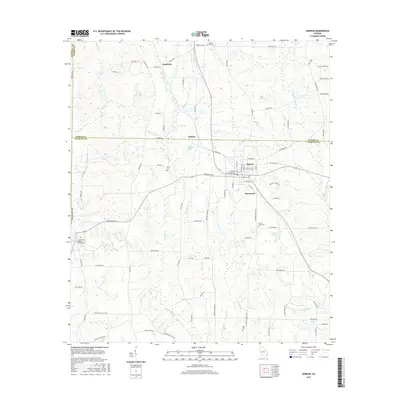
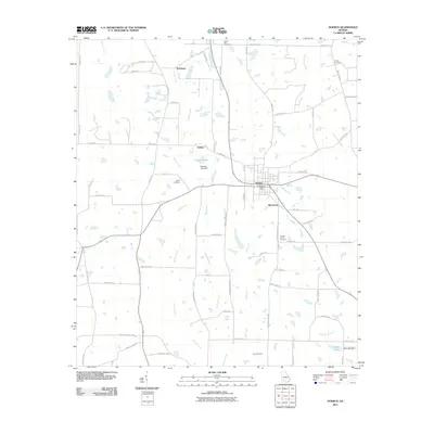 2011 Doerun2011 Print · USGSCovers Doerun, including Ticknor, Pritchetts, and other nearby areas
 - 2014 Map of Doerun, 2014 Print
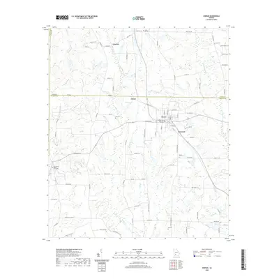
 2014 Doerun2014 Print · USGSCovers Doerun, including Ticknor, Pritchetts, and other nearby areas
 - 2017 Map of Doerun, 2017 Print
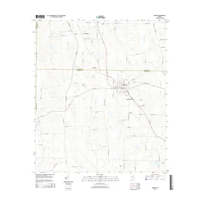
 2017 Doerun2017 Print · USGSCovers Doerun, including Ticknor, Pritchetts, and other nearby areas
 - 2020 Map of Doerun, 2020 Print
 2020 Doerun2020 Print · USGSCovers Doerun, including Ticknor, Pritchetts, and other nearby areas
 - 2024 Map of Doerun, 2024 Print
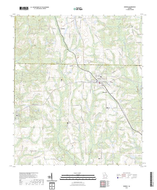 2024 Doerun2024 Print · USGSThe agricultural heart of Colquitt and Worth counties is captured in this recent survey of the Southwest Georgia plains. Genealogists can locate family landmarks like the Marchant Family Cem, Pitts Cem, and the rural community at Minnesota.
End of results
Showing maps 1-11 of 11
Top cities near Doerun
- Albany historical maps
- Moultrie historical maps
- Sylvester historical maps
- Pelham historical maps
- Putney historical maps
- Norman Park historical maps
See more
Frequently asked questions
- What are the different types of historical maps available for Doerun?
- What is the oldest map of Doerun?
- Where can I purchase historical maps of Doerun for my home or office?
- Where can I download high-res historical maps of Doerun?
- Are there historical topographic maps available for Doerun?
- Is there historical aerial imagery available for Doerun?
- Where are historical maps of Doerun sourced from?